

A Second Chance for a Game-Changer
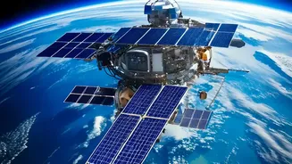
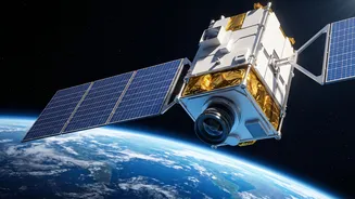
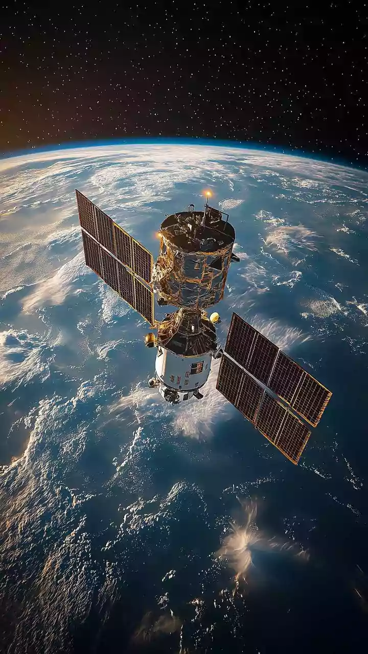
The upcoming launch of GISAT-1A, also known as EOS-05, is one of ISRO's most anticipated missions. Scheduled for early September 2026, it is a second attempt after its predecessor, GISAT-1 (EOS-03), was lost during a launch failure in August 2021 due
to an issue with the GSLV rocket's cryogenic upper stage. This new mission aims to finally place a state-of-the-art imaging satellite into a geostationary orbit, a feat that promises to be a game-changer for India. While described as a replacement, scientists suggest GISAT-1A features several improvements, making its potential success even more critical after a quiet period for the space agency. The launch is not just about the satellite itself but also about restoring confidence and momentum in India's space program.
The Geostationary Advantage: A Constant Watch
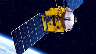
What makes GISAT-1A so special is its orbit. Unlike typical Earth observation satellites that circle the globe from pole to pole and view a specific location for only a few minutes a day, GISAT-1A will be placed in a geostationary orbit approximately 36,000 kilometres above the equator. In this position, its speed matches the Earth's rotation, allowing it to seemingly hover over the Indian subcontinent. This provides a persistent, continuous view of a vast area, much like a security camera on an incredibly tall pole. While polar-orbiting satellites are crucial for global mapping, geostationary satellites excel at monitoring dynamic, rapidly changing events in real-time. This constant watch is the key to unlocking new capabilities in everything from disaster warning to agricultural monitoring.
Transforming Disaster Management
For a country prone to natural disasters, GISAT-1A's capabilities could be life-saving. The satellite is designed to image the entire Indian landmass every 30 minutes and can be steered to focus on a high-priority area of interest every five minutes. This near real-time imaging is invaluable for tracking the rapid development of cyclones, monitoring widespread flooding, and spotting the outbreak of forest fires. Authorities will be able to receive timely data to issue early warnings, plan evacuations for vulnerable regions, and coordinate rescue and relief operations with unprecedented accuracy. By providing a continuous stream of information, the satellite helps emergency responders understand the extent of damage almost as it happens, allowing for quicker and more effective deployment of resources.
A Sharper Eye on Environmental Health
Beyond immediate disasters, GISAT-1A will be a powerful tool for long-term environmental stewardship. Its advanced optical and hyperspectral sensors can collect data across various wavelengths, revealing details invisible to the naked eye. This will aid in monitoring the health of forests, tracking the pace of deforestation, and assessing the condition of agricultural crops over large areas. The satellite will also provide crucial data for water resource management by observing changes in reservoirs, rivers, and snow and glacier cover in the Himalayas. This ability to frequently monitor vegetation, water bodies, and land use patterns will provide policymakers with vital information for climate analysis and sustainable development strategies.
Enhancing National Security
While primarily a civilian satellite, the strategic implications of GISAT-1A are undeniable. The ability to provide near real-time imaging of India's land and maritime borders offers a significant boost to the nation's surveillance capabilities. The satellite’s constant gaze can help monitor movements across borders and keep a watchful eye over large oceanic regions of interest. This kind of persistent monitoring is a powerful asset for security forces, providing them with crucial intelligence for operational planning and situational awareness. The dual-use nature of this technology underscores its importance not just for civilian welfare but also for national security, making its successful deployment a key strategic objective.