

More Accurate Weather, Earlier Warnings
For a nation deeply reliant on the monsoon, accurate weather forecasting is not a convenience—it's a lifeline. New satellites are fundamentally upgrading this capability. The Indian Space Research Organisation (ISRO) operates a sophisticated fleet of
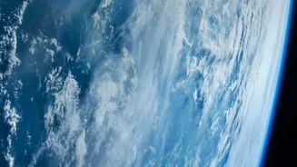
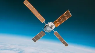
Earth Observation Satellites, including the INSAT series and the recently launched EOS-05, which provide continuous, near real-time data. Unlike older models, these modern satellites offer higher resolution imagery and more frequent scans, allowing meteorologists to track the development of cyclones, cloudbursts, and other extreme weather events with far greater precision. This constant stream of data on cloud patterns, rainfall intensity, and sea surface temperatures is the backbone of early warning systems, enabling authorities to issue timely alerts that save lives and protect property when disasters like floods and cyclones loom. The ability to take pictures of a specific region every 5 to 30 minutes is a game-changer for monitoring rapidly evolving natural disasters. This enhanced vision from space means more reliable monsoon forecasts for farmers and better preparedness for everyone.
The Rise of Precision Farming
Beyond the weather, satellites are transforming the very soil of Indian agriculture. The era of 'precision agriculture' is here, powered by detailed satellite imagery. Farmers can now access data on crop health, soil moisture levels, and even pest infestations without ever leaving their homes. Using technologies like the Normalized Difference Vegetation Index (NDVI), satellites can essentially 'see' the health of plants by measuring their chlorophyll content. This allows farmers to apply water and fertiliser exactly where they are needed, reducing waste, lowering costs, and increasing sustainability. For a country facing challenges with water scarcity, optimising irrigation through satellite data can lead to significant savings. ISRO has been central to this shift, with initiatives like FASAL and NADAMS providing crop forecasts and drought assessments. The joint NASA-ISRO satellite, NISAR, launched in 2025, further enhances this by using advanced radar to monitor crop growth and soil moisture through clouds, providing an all-weather view of agricultural lands across the country.
A Clearer View of Climate Change
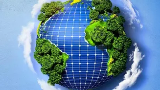
Understanding and combating climate change requires reliable, long-term data, and satellites are our most critical tool for gathering it. More than half of all essential climate variables can only be measured from space. Satellites provide indisputable evidence of long-term trends by monitoring the retreat of Himalayan glaciers, rising sea levels threatening India's vast coastline, and the extent of deforestation. Missions like Europe's Copernicus Sentinel satellites, whose data is freely available, track everything from sea surface temperatures to atmospheric pollutants. This information is vital for Indian scientists to build accurate climate models and for policymakers to design effective strategies for mitigation and adaptation. By tracking greenhouse gas emissions and changes in land use, these space-based systems offer a transparent way to assess the health of our planet and the effectiveness of global climate action. This data is foundational to protecting vulnerable ecosystems and building a more climate-resilient nation.
An Integrated Future from Above
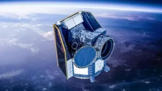
The true power of this new satellite era lies in integration. Data that helps a farmer decide when to irrigate is connected to the larger climate models that predict drought. The information that warns a coastal village of an approaching cyclone is part of the same global system monitoring long-term sea-level rise. By combining high-resolution imagery with artificial intelligence and machine learning, agencies like ISRO are developing sophisticated tools that can do everything from mapping specific crop types under cloudy conditions to automating yield estimations for insurance schemes. Recently launched satellites by the European Space Agency, such as Sentinel-3C and FLEX, will provide even more detailed data on plant health and marine environments, adding to the global pool of knowledge that benefits everyone. This fusion of technologies ensures that the insights from space are not just for scientists but can be translated into actionable intelligence for farmers, disaster management teams, and government bodies.