




Our Eyes in the Sky
For decades, assessing the health of crops across a state meant physically visiting a small sample of fields and extrapolating the findings. This method was slow, expensive, and often inaccurate. Today, a satellite orbiting 500 kilometres overhead can
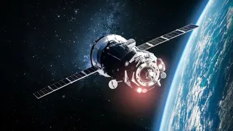
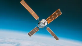
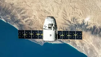
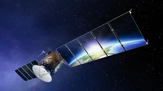
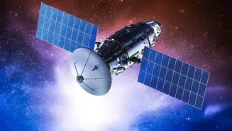
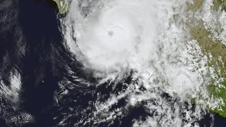
provide a more comprehensive picture in a single pass. This technology, known as remote sensing, is no longer just a research curiosity; it's the backbone of how Indian agriculture is monitored on a massive scale. The Indian Space Research Organisation (ISRO) is at the forefront of this transformation, deploying a fleet of satellites like Resourcesat and RISAT that are designed specifically for agricultural monitoring. These satellites capture images that see beyond what the human eye can, analysing light reflected from crops to measure their health, greenness, and moisture levels. This stream of data provides a near-real-time health report card for millions of farms simultaneously.
From Pixels to Practical Insights
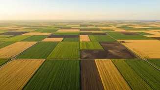
Raw satellite images are just the beginning. The data undergoes significant processing to become actionable intelligence for farmers and policymakers. One of the most important applications is forecasting agricultural output. Under the FASAL (Forecasting Agricultural output using Space, Agrometeorology and Land-based observations) project, agencies like the Mahalanobis National Crop Forecast Centre (MNCFC) use satellite data to generate pre-harvest production forecasts for at least 11 major crops, including rice, wheat, and cotton. This helps the government make informed decisions about food security and market planning. For farmers, the technology enables precision agriculture. By identifying specific areas within a field that are stressed due to lack of water or nutrients, farmers can apply resources exactly where they are needed, reducing waste and cost. It also helps in the early detection of pest and disease outbreaks, allowing for targeted treatments before they spread and cause significant damage.
Aiding Governance and Insurance
Beyond the farm gate, satellite data is transforming agricultural governance. It plays a crucial role in the Pradhan Mantri Fasal Bima Yojana (PMFBY), the government's flagship crop insurance scheme. Previously, settling insurance claims was a lengthy process reliant on manual Crop Cutting Experiments (CCEs). Now, satellite imagery is used for more accurate loss assessment, resolving yield disputes, and even identifying areas where sowing was prevented due to adverse weather. This brings transparency and speed to the claim settlement process, ensuring farmers receive timely support. Furthermore, programs like the National Agricultural Drought Assessment and Monitoring System (NADAMS) use satellite data to provide early warnings about drought conditions, enabling state governments to respond proactively with relief measures.
The Challenges on the Ground
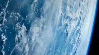
While the potential is immense, several hurdles remain. One of the biggest technical challenges in India is cloud cover, especially during the crucial monsoon (Kharif) season, which can block the view of optical satellites. To counter this, agencies are increasingly using Synthetic Aperture Radar (SAR) satellites, which can see through clouds day or night. Another significant challenge is ensuring that these high-tech insights reach the millions of smallholder farmers who form the backbone of Indian agriculture. Many farmers lack awareness or the digital literacy needed to interpret complex data like vegetation index maps. Bridging this last-mile connectivity gap requires strengthening agricultural extension services, providing training, and developing user-friendly mobile applications that deliver simple, actionable advice.