



A Forest on the Frontline
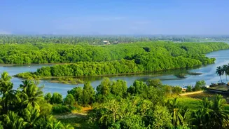
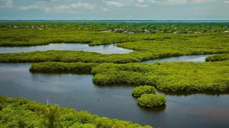
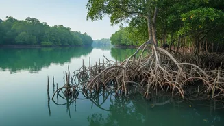
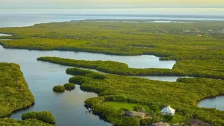
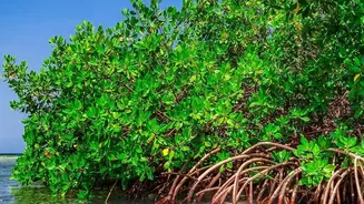
The Sundarbans, the world's largest mangrove forest, is more than just a breathtaking landscape; it's a vital shield for millions. This unique ecosystem, straddling India and Bangladesh, acts as a natural barrier against cyclones and storm surges from
the Bay of Bengal. Yet, this guardian is itself under threat. Rising sea levels, changing weather patterns, and reduced freshwater flow are putting immense pressure on the health of the mangroves. Studies have shown that while the total area of mangroves has remained relatively stable, the health of the forest has been declining in many areas, with some estimates suggesting a quarter of the trees are showing signs of stress. This degradation, driven by increased water salinity and erosion, weakens the forest's ability to protect coastal communities and sustain the rich biodiversity it harbours.
Eyes in the Sky
Traditionally, monitoring such a vast and remote delta has been a monumental challenge. Now, technology is providing a powerful new solution. Various remote sensing projects are utilising an array of satellites to keep a constant watch over the Sundarbans. Using data from platforms like the Landsat program and the European Copernicus Sentinel missions, researchers can see what is invisible to the naked eye. These satellites are equipped with sophisticated optical and radar instruments that can peer through clouds and collect data around the clock, providing a continuous stream of information about this dynamic environment. This 'time-travelling' capability allows scientists to look back decades, establishing baseline health and tracking changes with incredible precision.
Decoding the Tidal Pulse
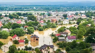
A key focus of these orbital projects is tracking tidal inundation—the regular ebb and flow of water through the forest. The health of the mangroves is inextricably linked to this process. Tides deliver essential nutrients and sediments that allow the mangroves to grow and keep pace with rising sea levels. Hydrodynamic models, calibrated with satellite data, show that almost the entire Sundarbans is inundated at some point, but the depth and duration vary significantly. By precisely measuring the extent of daily flooding, scientists can identify areas that may not be receiving enough sediment to remain healthy. This data is critical for understanding the complex relationship between water, land, and the forest's survival. Even small changes in inundation patterns can signal larger problems, such as channel blockages or land subsidence.
From Data to Mangrove Health
The data collected from orbit is far more than just pictures. Scientists use specialised indices like the Normalised Difference Vegetation Index (NDVI) to measure the 'greenness' and therefore the health of the mangrove canopy. A decline in NDVI values in a particular area can indicate that the mangroves are under stress from factors like high salinity or lack of nutrients, long before the trees start to die off. By combining this vegetation health data with tidal inundation maps, researchers can build a comprehensive picture of the ecosystem's dynamics. This allows them to pinpoint vulnerable zones, understand the long-term impacts of cyclones, and predict how different parts of the forest might respond to future climate change scenarios.
Informing the Future on the Ground
The ultimate goal of these advanced sensor projects is to translate complex satellite data into actionable insights for conservation and management. By understanding which areas are degrading and why, authorities can better target restoration efforts, such as planting more salt-tolerant mangrove species. This information is also vital for initiatives like India's MISHTI (Mangrove Initiative for Shoreline Habitats & Tangible Incomes), which aims to restore mangrove habitats along the coastline. Furthermore, detailed maps of flood-prone areas help in disaster management, providing early warnings and aiding in the protection of the 4.5 million people who call the Indian Sundarbans home. This orbital view provides the strategic intelligence needed to ensure the resilience of the Sundarbans for generations to come.