








An Annual Urban Deluge
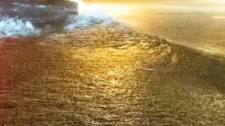
Every year, the story repeats itself. A few hours of heavy rainfall bring India’s Silicon Valley to a standstill. But this is not a natural disaster; it's a man-made one. Decades of rapid, often unplanned, urbanisation have transformed Bengaluru’s landscape.
Sprawling concrete has replaced absorbent soil, and a recent study from the Indian Institute of Science (IISc) found that paved, impervious surfaces have increased to over 78% of the city's area. This prevents rainwater from seeping into the ground, turning it into massive surface runoff. The city’s historic network of lakes, designed to hold this excess water, has shrunk dramatically, with many former lakebeds now housing residential and commercial buildings. The channels connecting them, the city’s natural arteries, have been choked, leading to the chronic waterlogging that plagues citizens.
Rediscovering the 'Raja Kaluves'
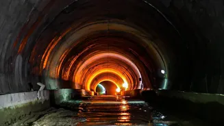
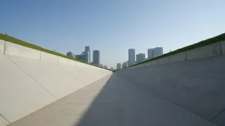
At the heart of the flooding crisis is the neglect of the 'Raja Kaluves', or 'King's Canals'. These are the primary stormwater drains that have historically formed an interconnected network, allowing excess water from one lake to cascade to the next. This brilliant feat of historical urban planning ensured both flood management and water conservation. However, as the city expanded, these vital waterways were encroached upon, narrowed, and in many cases, built over entirely. Studies and civic audits have repeatedly shown that a significant percentage of the city's 800-kilometre drain network has been lost or blocked. The result is that when heavy rains come, the water has nowhere to go, following its old paths and flooding the very layouts built over them.
The Power of a Map
This is where drain mapping becomes a powerful tool. Research initiatives, many led by scientists at IISc, are focused on creating high-resolution, GIS-based maps of the entire stormwater drainage system. These aren't just lines on a page; they are comprehensive digital inventories that detail the location, size, and connectivity of every drain, culvert, and channel. By comparing current maps with historical ones, some dating back over a century, researchers can pinpoint exactly where the network has been broken. They can identify illegal encroachments, blocked channels, and areas where the drainage capacity is no longer sufficient for the increased runoff. These maps make the invisible, visible. They provide a clear, data-backed picture of why specific neighbourhoods flood, moving the conversation from anecdotal complaints to evidence-based problem-solving.
From Diagnosis to Action
A reliable drain map is the foundation for any meaningful action. For civic bodies like the Bruhat Bengaluru Mahanagara Palike (BBMP), these maps provide an essential reference for reclaiming encroached drain areas and removing illegal structures. They enable engineers to plan infrastructure upgrades strategically, understanding how widening a drain in one area will affect water flow downstream, rather than just shifting the problem elsewhere. For homebuyers and developers, referring to official drain maps is becoming a crucial step in due diligence to avoid investing in properties that violate buffer zone regulations and risk future demolition. Furthermore, some initiatives are now empowering citizens to conduct their own local drain audits, using digital tools to document blockages and hold authorities accountable.
A Blueprint for Other Indian Cities
Bengaluru's struggle is not unique. Cities like Hyderabad, Chennai, and Mumbai face similar challenges, where rapid growth has overwhelmed traditional drainage systems. Hyderabad has already initiated a similar project to map its entire stormwater network using GIS technology, recognizing it as a critical first step towards creating a master plan for flood mitigation. The lessons from Bengaluru demonstrate that before spending billions on new, fragmented projects, cities must first invest in understanding the systems they already have. Creating a comprehensive, publicly accessible drain map is not just a technical exercise; it's an act of urban archaeology that uncovers the root causes of flooding and provides a clear path towards building more resilient, water-secure cities for the future.