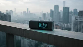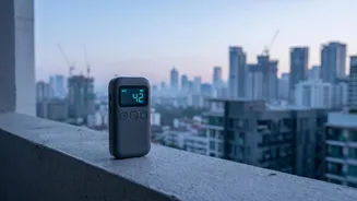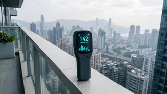






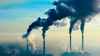

Diwali means travel, family, and celebration. But as festive excitement builds, an invisible threat looms: a sharp spike in air pollution. This makes checking air quality not just a precaution, but an essential part of your travel planning.
The Invisible Risk of Festive Travel
During Diwali,
a combination of firecracker smoke, increased traffic, and weather patterns like cooler temperatures can trap pollutants close to the ground. This creates a dense smog that blankets many cities, with the Air Quality Index (AQI) often soaring to 'Poor' or 'Severe' levels. This isn't just a minor inconvenience; it's a significant health hazard. The air becomes thick with microscopic particulate matter (PM2.5 and PM10), which can bypass the body's natural defences, lodge deep in the lungs, and even enter the bloodstream. For children, the elderly, and those with existing conditions like asthma or heart disease, the risk is especially high, leading to everything from coughing and wheezing to severe respiratory distress and cardiac strain.
Decoding the Air Quality Index (AQI)
The AQI is a simple tool for understanding a complex problem. It condenses complicated data on various pollutants into a single number with a corresponding colour-coded category. In India, the Central Pollution Control Board (CPCB) scale is the standard. An AQI between 0-50 ('Good') is safe for everyone, while 51-100 ('Satisfactory') is also broadly acceptable. However, as numbers climb, so does the risk. 'Moderate' (101-200) can cause breathing discomfort for sensitive groups. 'Poor' (201-300) and 'Very Poor' (301-400) can cause respiratory illness even in healthy people after prolonged exposure. 'Severe' (401-500) affects everyone and can have serious health impacts. Knowing these levels helps you turn an abstract warning into a concrete action plan.
Your Essential Pollution-Checking Toolkit
Checking the AQI is easier than ever. Numerous free apps and websites provide real-time data for cities and even specific neighbourhoods across India. The government's official 'Sameer' app provides data directly from CPCB monitoring stations. Other popular and reliable options include IQAir AirVisual, which offers global coverage and detailed forecasts, and AQI.in, known for its hyperlocal data. Even Google Maps now has an 'Air Quality' layer you can enable to see pollution levels directly on the map as you plan your route. For the most accurate picture, it's wise to check one or two different sources before making a decision.
Planning Your Journey with AQI Data
Armed with real_time data, you can make smarter travel choices. If you're driving between cities, check the AQI for your destination and key points along your route. You might decide to delay your departure by a few hours to avoid peak pollution times, which are often early morning and late evening. If one potential destination city has a 'Very Poor' AQI while another is 'Moderate', the choice becomes clearer. For train or bus travel, knowing the destination's air quality helps you prepare. You'll know whether to keep windows shut, wear a mask upon arrival, or limit outdoor time for the first day, especially for kids. It also helps in choosing hotels that may have air purification systems.
More Tips for Safer Festive Travel
Beyond just scheduling, a few extra precautions can make a big difference. Always travel with well_fitting N95 or KN95 masks, as simple cloth masks don't filter out the dangerous PM2.5 particles. When driving, keep the car windows closed and use the air recirculation mode to avoid pulling in polluted outside air. Stay hydrated, as this helps your body flush out toxins. If possible, try to plan the bulk of your travel during daylight hours when visibility is better and some pollutants may have dispersed. Finally, for family members with known respiratory issues, ensure they have all necessary medications, like inhalers, easily accessible during the journey.