

What is This ISRO Initiative?
The Indian Space Research Organisation (ISRO), through its esteemed Indian Institute of Remote Sensing (IIRS) in Dehradun, regularly offers free online courses for students and professionals. These courses are part of its outreach program designed to
build capacity in space technology and its applications. A key focus area is Synthetic Aperture Radar (SAR), a powerful remote sensing technology. These programs are designed for undergraduate and postgraduate students, as well as researchers and government staff, providing them with study materials, recorded lectures, and a certificate upon completion, which can significantly enhance a resume.
Decoding SAR: A Weather-Proof Wonder
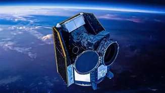
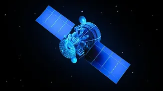
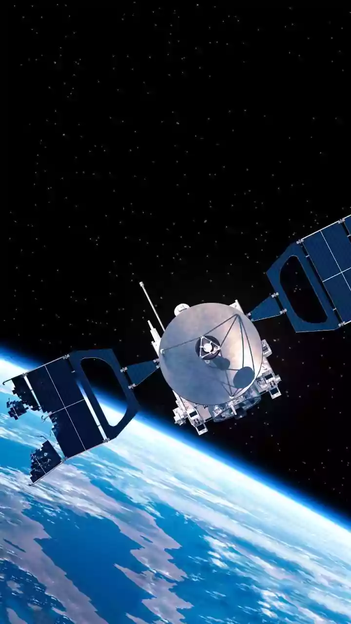
So, what makes SAR so special? Unlike traditional optical satellites that are essentially cameras in space, SAR is an active sensing system. It sends its own microwave signals down to Earth and measures the reflections to create an image. Think of it like a bat using echolocation. The biggest advantage of this is its ability to 'see' through clouds, smoke, fog, and darkness. This makes SAR an incredibly reliable tool for monitoring the Earth's surface 24/7, regardless of weather conditions. This all-weather, day-and-night capability is what makes it a game-changer for countless applications. India has its own series of SAR satellites, called RISAT (Radar Imaging Satellite), which provide crucial data for the nation.
The High-Value Skills You Will Gain
Enrolling in an IIRS course on SAR isn't just about theory. The programs focus on practical application and data processing. Participants learn how to handle and interpret SAR data, a skill that is fundamentally different from analysing standard optical images. Key skills include understanding SAR data properties, processing raw data to generate usable images, and applying techniques like SAR interferometry (InSAR) to detect tiny changes on the ground over time. Students gain hands-on experience with specialised software and learn to extract meaningful information from complex radar datasets, preparing them for real-world challenges in the geospatial industry.
Unlocking Diverse Career Pathways
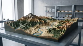
Expertise in SAR opens up a surprisingly wide range of career opportunities. One of the most critical fields is disaster management, where SAR is used to map flood-affected areas, assess earthquake damage, and monitor landslides, even when clouds obscure the view. In agriculture, SAR skills help in monitoring crop health, soil moisture, and estimating yields, contributing to precision farming. Urban planners use SAR to monitor infrastructure development and land subsidence. The defence and security sectors also heavily rely on SAR for all-weather surveillance and reconnaissance. Furthermore, environmental monitoring, from tracking deforestation to studying glaciers and oil spills, is another major domain for SAR professionals.
A Future-Proof Career in a Growing Sector
The demand for SAR expertise is growing rapidly in India and globally. The upcoming NASA-ISRO SAR (NISAR) mission, a landmark collaboration, will produce an unprecedented amount of data, further fuelling the need for skilled analysts. Beyond government agencies like ISRO, private companies are entering the space-tech arena in India, with startups like GalaxEye and others developing their own SAR solutions for various platforms, including drones. This expanding ecosystem means that jobs for SAR analysts, data scientists, and signal processing engineers are on the rise in both the public and private sectors. Gaining these skills now positions you at the forefront of a technological wave that is transforming how we understand and manage our planet.