






1. Faster Disaster Response
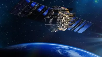
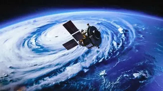
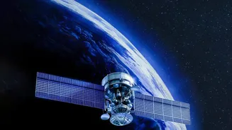
One of the most critical applications is near real-time disaster management. Satellites like the EOS series can provide continuous imaging of large geographical areas, a significant advantage over older satellites that passed over locations at intervals.
This capability is crucial for tracking the rapid development of cyclones, monitoring widespread flooding, and identifying areas at risk of landslides. By delivering data quickly to agencies on the ground, these satellites enable authorities to issue timely warnings, evacuate populations more effectively, and plan relief and rescue operations with greater precision. This constant watch can mean the difference between chaos and a coordinated, life-saving response during natural calamities.
2. Smarter Agriculture
The agricultural sector, the backbone of the Indian economy, stands to gain immensely. ISRO's satellite technology is a key driver of precision agriculture. These satellites use advanced sensors to monitor crop health, assess soil moisture levels, and even estimate crop yields before harvest. This data, often delivered to farmers via mobile apps, allows for optimized use of water, fertilisers, and pesticides, reducing costs and environmental impact. For policymakers, this information is vital for national food security, helping to forecast production, manage food stocks, and implement schemes like crop insurance more effectively.
3. Sustainable Urban and Rural Planning
As India continues to grow, managing its urban and rural landscapes is a massive challenge. Earth-observation satellites provide invaluable data for urban planners tracking city expansion and for monitoring the progress of major infrastructure projects like highways and dams. The imagery helps in creating detailed land-use maps, identifying illegal construction, and planning for essential services like water supply and sanitation. In rural areas, the same technology helps in managing land records and planning the development of community assets. This comprehensive overview ensures that development is more organised, sustainable, and meets the needs of a growing population.
4. Guarding Borders and Coasts
National security is another domain where these satellites play a silent but crucial role. The ability to provide repeated coverage has strategic applications, including border surveillance. High-resolution imaging can help security forces monitor troop movements, detect infiltrations, and keep a watch on sensitive areas along the nation's vast land borders. Beyond the land, satellites are used for maritime security, helping to track ships, identify illegal fishing activities in India's Exclusive Economic Zone, and monitor coastal regions for any unusual activity. This constant vigilance from space acts as a force multiplier for the country's defence and security apparatus.
5. Monitoring Environmental Health
Protecting India's natural resources requires constant monitoring, a task perfectly suited for Earth-observation satellites. They can track changes in forest cover, helping to combat deforestation and assess the health of our green lungs. Furthermore, these satellites can monitor water bodies for pollution, observe the melting of Himalayan glaciers, and analyse changes in coastal ecosystems. The data gathered provides a scientific basis for environmental policy, helps in assessing the impact of climate change, and guides conservation efforts across the country, from our mountains to our oceans.