



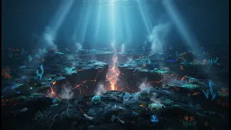



The Earth’s Restless Engine
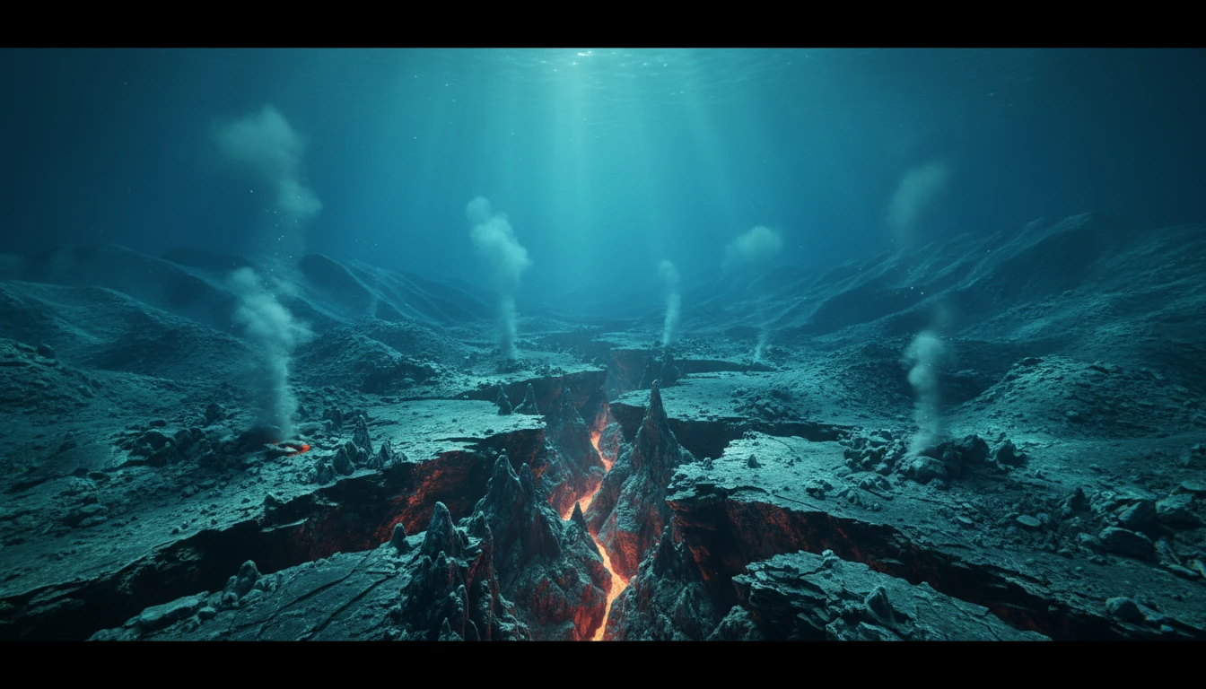
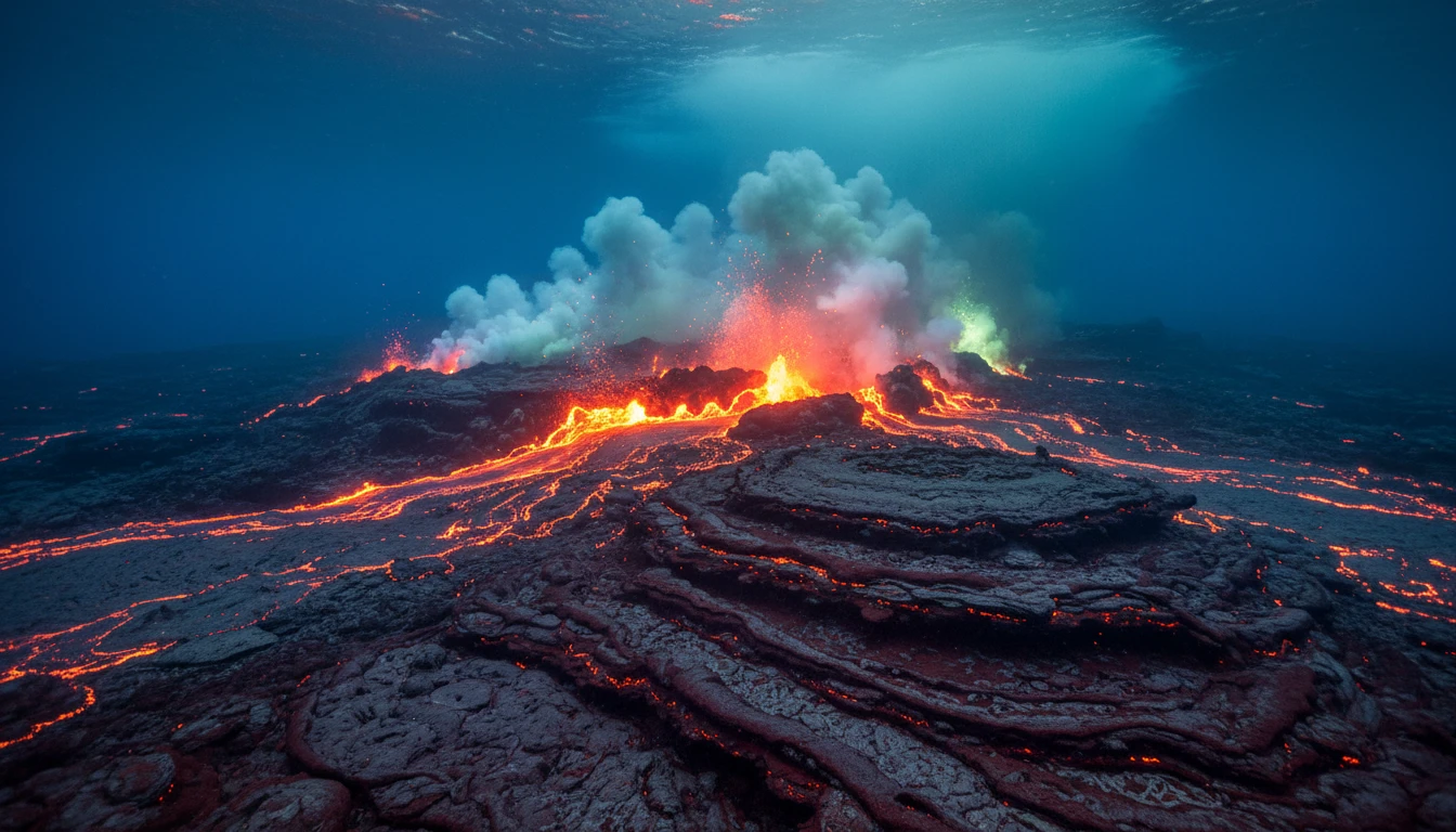
Deep beneath the world's oceans lie immense underwater mountain ranges called mid-ocean ridges. These are not static landforms but the dynamic seams of our planet. Here, tectonic plates pull apart, and molten magma from the Earth's mantle rises to fill
the gap. It cools and solidifies, forming new oceanic crust in a process called seafloor spreading. This fundamental process is the engine of plate tectonics, driving continents apart, creating ocean basins, and shaping our world over millions of years. The rate of this spreading, whether fast or slow, dictates the geology of the region, from the ruggedness of the ocean floor to the frequency of volcanic and seismic activity. Understanding these ridges is key to understanding the planet itself.
The Indian Ocean’s Unique Puzzle
The Indian Ocean floor is home to a complex, inverted 'Y' shaped ridge system. This network includes the Carlsberg Ridge, the Central Indian Ridge (CIR), the Southwest Indian Ridge (SWIR), and the Southeast Indian Ridge (SEIR). These ridges separate the Indo-Australian plate from the African and Antarctic plates. Unlike some more uniformly studied ridges in the Atlantic or Pacific, the Indian Ocean system is incredibly varied. Spreading rates differ significantly across the system, from the ultra-slow SWIR (about 14 mm/year) to the faster SEIR (up to 75 mm/year). This complexity, with its numerous fractures and discontinuities, makes it a fascinating but challenging subject for geologists.
A Patchwork of Incomplete Data
The core problem, as the headline suggests, is the scarcity of high-resolution, long-term data. Much of what we know comes from broad-scale surveys that began decades ago. While these were foundational, they provided a blurry picture. Scientists compare the situation to trying to understand the weather patterns of an entire continent with only a handful of weather stations. According to multiple research overviews, sparse and non-availability of high-resolution geophysical data has hindered an accurate understanding of the ridges' structure, tectonics, and spreading history. Modern, detailed mapping and sampling are needed across more of the ridge systems to build a clearer, more comprehensive model. Until then, our knowledge remains a patchwork.
Why This Knowledge Gap Matters
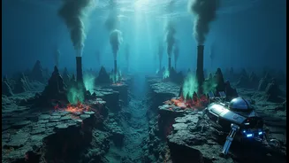
This isn't just an academic puzzle. The processes at these ridges have real-world implications. Seafloor spreading is linked to seismic activity, and a better understanding of the stresses and strains along these underwater faults can improve our assessment of earthquake and tsunami risks in the wider Indian Ocean region. Furthermore, these ridges host unique ecosystems around hydrothermal vents, which spew out superheated, mineral-rich water. These areas are not only of biological interest but also hold great promise for mineral resources. Without better data, our ability to forecast geological hazards and responsibly explore for future resources remains limited.
The Hunt for Deeper History
Closing this knowledge gap is a monumental task. The deep ocean is an incredibly challenging environment to work in. However, technological advances are making it more accessible. Scientists are deploying autonomous underwater vehicles (AUVs) and remotely operated vehicles (ROVs) to conduct high-resolution mapping and collect samples. A recent breakthrough on the Southeast Indian Ridge provided a dramatic example of what's possible. In April 2024, an array of instruments fortuitously captured a complete seafloor spreading event in real-time, observing the seabed sink by four metres and release over 160 million cubic metres of lava. This event, equivalent to decades of normal plate movement compressed into days, provided unprecedented insight. Yet, it also highlighted how much happens in short, dramatic bursts, underscoring the need for continuous, long-term monitoring across the entire ridge system to catch these crucial events.