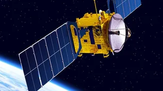









The 36,000-Kilometre Sweet Spot
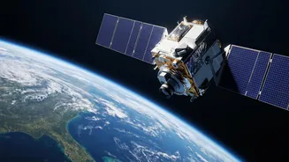
Imagine a satellite that appears to stand still in the sky. That's the magic of a geostationary orbit, located at an altitude of roughly 35,786 kilometres over the Earth's equator. At this specific height, a satellite's orbital period matches the Earth's rotation
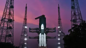
exactly—one sidereal day. This synchronisation means that from the ground, the satellite remains fixed over the same geographical area. Reaching this orbit isn't a direct flight. After being launched into an initial elliptical path called a Geosynchronous Transfer Orbit (GTO), EOS-05 has been using its own onboard engines to perform a series of carefully planned orbit-raising manoeuvres. Each engine firing, or 'burn', pushes the satellite higher and circularises its path, a delicate process that requires immense precision from ISRO's mission controllers. This final orbit allows for something most other observation satellites can't provide: continuous, uninterrupted monitoring of a vast region.
India's Unblinking Eye
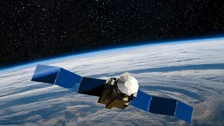
While India operates one of the world's largest constellations of remote sensing satellites, most of them are in Low Earth Orbit (LEO), circling the globe every 90-100 minutes. This is great for capturing high-resolution images of different places, but it means they only see a specific location for a few minutes at a time. EOS-05 is different. As India's first dedicated imaging satellite in a geostationary orbit, it is designed to provide near real-time imagery of the Indian subcontinent around the clock. This capability is a game-changer for a wide range of applications. It can provide constant surveillance for national security, offering an invaluable tool for border and maritime monitoring. For disaster management, it will offer live tracking of developing cyclones, floods, and forest fires, enabling quicker and more effective responses. It will also observe agricultural patterns, water resources, and environmental changes as they happen.
More Than Just a Camera
The true power of EOS-05 lies in the data it will generate. The satellite is equipped with advanced multi-spectral imagers capable of capturing details across different light spectrums, including infrared. This allows it to see things the human eye cannot, such as variations in crop health, moisture levels in the soil, and the temperature of cloud tops, which helps in predicting severe weather. This stream of data will feed into national platforms like ISRO's Bhuvan geoportal, which supports various governance and development projects. From helping farmers with precision agriculture to enabling urban planners to monitor city growth and assisting environmental agencies in tracking deforestation or glacial melt, the applications are vast. The near-continuous stream of information allows for dynamic, real-time decision-making, moving beyond static snapshots to a live, evolving picture of the nation's landscape.
A New Era in Earth Observation
The successful placement of EOS-05 represents a significant technological leap for ISRO. Placing a heavy, sophisticated imaging satellite into such a high orbit and ensuring it operates flawlessly is a complex feat of engineering. This mission builds upon decades of ISRO's experience with its Earth Observation System (EOS) program, which has consistently provided crucial data for India's development. EOS-05 will not replace the LEO satellites but will complement them. While LEO satellites provide the fine-detail, high-resolution imagery, EOS-05 offers the big-picture, constant-watch capability. Together, they create a multi-layered observation system, giving India a more comprehensive understanding of its land, oceans, and atmosphere than ever before. This new asset reinforces India's position as a major space power with a programme focused on direct societal and economic benefits.