

An Eye in the Sky for Earth's Surface
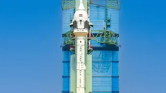
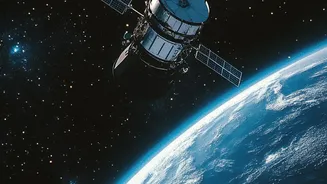
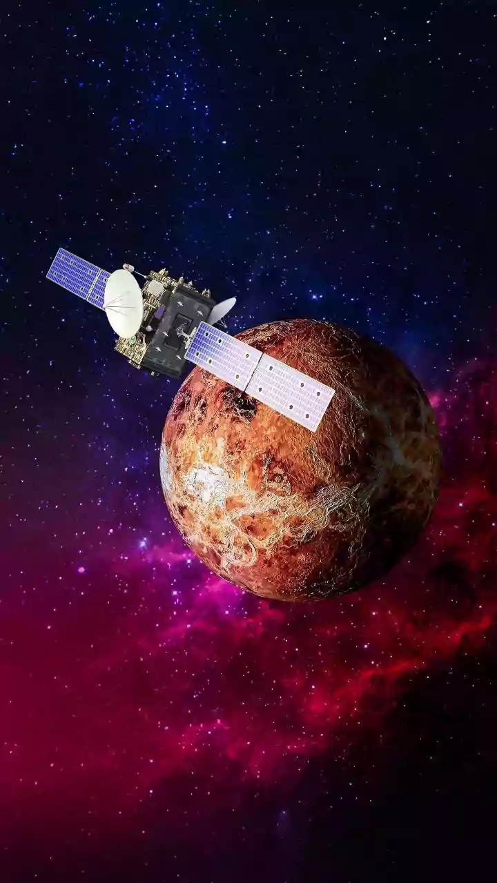
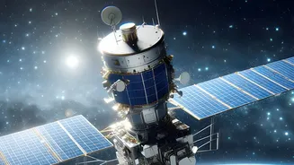
The NASA-ISRO Synthetic Aperture Radar, or NISAR, is a groundbreaking Earth-observation satellite born from a powerful collaboration between the US and Indian space agencies. Launched in July 2025 and declared fully operational in early 2026, NISAR is the most
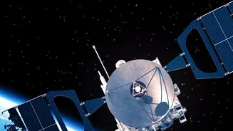
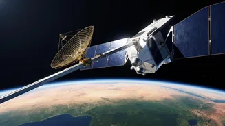
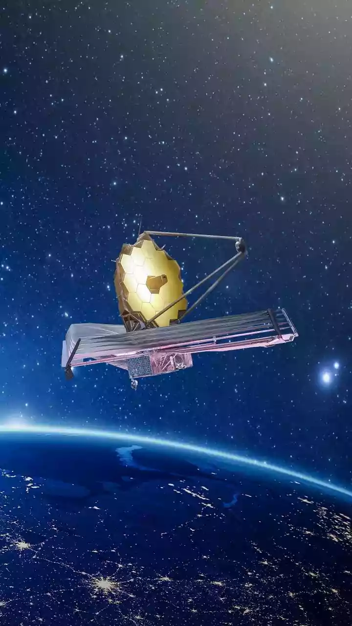
advanced radar imaging satellite ever built. Its primary mission is to track changes on our planet's surface with unprecedented detail. Circling the Earth every 12 days, it scans nearly the entire globe day and night, regardless of cloud cover. What makes NISAR unique is its use of two different radar frequencies, L-band and S-band. This dual-frequency capability allows it to observe a wide range of Earth processes, from the shifting of tectonic plates and the melting of glaciers to changes in vegetation and, crucially for India, the dynamics of groundwater. The satellite carries a massive 12-meter-wide mesh radar antenna, enabling it to detect tiny movements on the ground—as small as a few millimeters.
How Radar 'Sees' Underground Water
NISAR doesn't directly see water underground. Instead, it employs a clever technique called Interferometric Synthetic Aperture Radar (InSAR) to infer changes in groundwater levels. The process works by measuring subtle changes in the height of the land surface over time. When large amounts of water are pumped out of underground aquifers, the land above can sink, or 'subside', as the porous rock and soil compact. Conversely, when aquifers are replenished during monsoon seasons, the ground can rise slightly. NISAR repeatedly bounces radar signals off the same spot on Earth and meticulously compares the returned signals from each pass. Even a millimeter-level change in the ground's height alters the path length of the radar signal, creating a measurable difference. By creating a time-series of these measurements, scientists can produce detailed maps showing exactly where the land is sinking due to water extraction and where it is stable or recovering. This provides a comprehensive, basin-wide view of how groundwater systems are behaving.
Why This Data Is Critical for India
For India, this technology arrives at a critical moment. The nation is the world's largest user of groundwater, relying on it for an estimated 62% of irrigation and 85% of rural drinking water supplies. Agriculture alone accounts for nearly 90% of all groundwater extracted annually. For decades, this dependence has led to unsustainable over-extraction, particularly across the fertile plains of northern India. In states like Punjab, Haryana, and Rajasthan, groundwater withdrawal has exceeded 100% of the replenishable supply, meaning water is being mined from finite reserves. This has led to rapidly falling water tables, forcing farmers to dig deeper, more expensive wells and threatening the long-term food and water security of millions. The effects are amplified by climate change, as more erratic monsoons make surface water less reliable, pushing communities to depend even more heavily on this underground resource.
From Raw Data to Smarter Decisions
Before NISAR, monitoring groundwater levels relied on a sparse network of monitoring wells, which provided an incomplete picture. NISAR's data transforms this by providing a systematic, wall-to-wall map of ground deformation across entire regions. This allows policymakers and water management authorities to pinpoint exactly which districts and taluks are experiencing the most severe subsidence, indicating extreme stress on the underlying aquifers. With this information, authorities can move from reactive measures to proactive management. They can better target interventions, such as promoting water-efficient crops, regulating industrial water use, and investing in managed aquifer recharge projects in the most vulnerable areas. Early data from the satellite has already been used to generate soil moisture maps for parts of central India, demonstrating its immediate applicability. For farmers, this data can eventually feed into advisory services that help optimize irrigation schedules, saving both water and energy.