




The Geographical Funnel
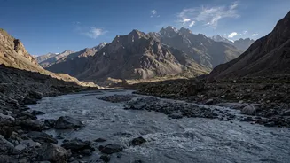
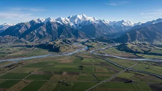
Bihar's fundamental vulnerability lies in its geography. North Bihar is a vast, flat plain located directly south of the young, steep Himalayan mountains in Nepal. Dozens of rivers, including major systems like the Kosi, Gandak, Bagmati, and Mahananda,
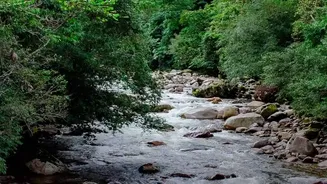
originate in these mountains. They charge down steep slopes, gathering speed and energy, before abruptly hitting the gentle plains of Bihar. This sudden drop in gradient is like hitting a geological brake pedal. The fast-flowing water rapidly slows down, losing its capacity to carry the massive amount of sediment it has eroded from the Himalayas.
The Curse of Silt
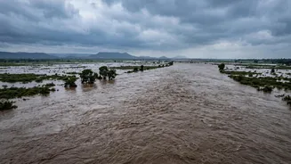
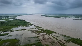
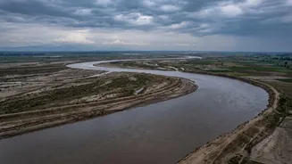
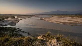
The sediment that the rivers carry is no small matter. The Kosi river alone, often called the 'Sorrow of Bihar', contributes a massive amount of the Ganga's total sediment load. Year after year, this silt gets deposited on the riverbeds in Bihar. This process, known as aggradation, slowly raises the level of the riverbed. Over time, the river starts flowing at a higher level than the surrounding land, contained only by its natural banks. When a surge of monsoon water comes down from Nepal, the elevated river has very little capacity to hold the extra volume and easily spills over into the plains, causing widespread floods. This silt also causes rivers like the Kosi to frequently change their course, creating new channels and rendering old flood protection measures useless.
Embankments: A Double-Edged Sword
To combat this annual flooding, extensive networks of embankments have been built along the rivers since the 1950s. The idea was to confine the river to a fixed channel and protect the surrounding land. However, these structures have had unintended consequences. By trapping the river, they also trap the silt, accelerating the rise of the riverbed within the embankments. This creates a dangerous situation where the river flows at a dangerously high level, putting immense pressure on the earthen walls. During peak monsoon flows, a breach in these embankments can be catastrophic, releasing a powerful and destructive torrent of water onto unsuspecting areas, as seen in the devastating Kosi flood of 2008. Paradoxically, while Bihar had 160 km of embankments in 1954, its flood-prone area was 2.5 million hectares; by 2016, with over 3,700 km of embankments, the flood-prone area had increased to nearly 7.3 million hectares.
Cross-Border Complications
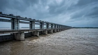
Since most of Bihar's flood-causing rivers originate in or flow through Nepal, managing them requires close cross-border cooperation. Agreements like the Kosi Agreement (1954, revised 1966) and the Gandak Agreement (1959) were signed for flood management and irrigation, giving India the responsibility to maintain structures like the Kosi and Gandak barrages located in Nepal. However, this relationship can be complex. The timely sharing of hydrological data, maintenance of embankments in Nepalese territory, and joint management of barrages are critical for flood warnings and mitigation in Bihar. Flash floods originating in Nepal, as seen with the Gandak river in August 2026, necessitate immediate action like opening barrage gates to manage the surge, putting districts downstream on high alert. This highlights the absolute dependence on swift communication and coordinated action between the two countries.
Climate Change: The Threat Multiplier
Superimposed on all these factors is the growing impact of climate change. More erratic and intense monsoon rainfall in the Himalayan catchment areas leads to higher volumes of water flowing into the rivers. Extreme weather events, including flash floods and potential Glacial Lake Outburst Flood (GLOF) events in the high Himalayas, can send sudden, massive surges of water downstream with very little warning time. These events increase the pressure on already strained river systems and flood control infrastructure, multiplying the inherent risks that Bihar faces every year. The combination of a vulnerable geography and a changing climate means the threat of devastating river surges is only growing.