


The Challenge: A Deluge of Data
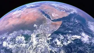
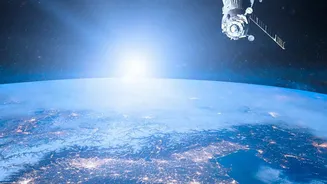
For decades, climate scientists have relied on Earth-observing satellites to track everything from melting ice sheets to the density of forests. These missions generate an almost unimaginable amount of information. By 2024, it was estimated that NASA
would hold 250,000 terabytes of data from its missions. The sheer volume makes it incredibly challenging and time-consuming for researchers to analyze. Traditional methods often involve creating bespoke algorithms for specific tasks, a process that can be slow and inefficient. This data bottleneck has been a significant hurdle in responding to the urgency of climate change.
A New Approach: The Foundation Model
Enter the concept of a 'foundation model'. Developed in a landmark collaboration between NASA and IBM, these new AI systems are a major departure from previous tools. Unlike specialized AI that is trained for a single purpose, a foundation model is trained on a massive, broad set of unlabeled data. This allows it to develop a complex, underlying understanding of the information. Think of it like learning a language's grammar and vocabulary before being asked to write a specific poem or essay. This pre-training, done on supercomputers, makes the model incredibly versatile. The first of these was the Prithvi geospatial model, trained on years of harmonized data from NASA's Landsat and ESA's Sentinel satellites.
Flexibility and Fine-Tuning
The key difference with these foundation models is their adaptability. Once the foundational training is complete, scientists can quickly 'fine-tune' the model for a wide variety of specific tasks with much less effort and data than starting from scratch. For example, the same base model can be adapted to map flood plains after a hurricane, identify the extent of wildfire burn scars, or even predict crop yields for a region. This dramatically lowers the barrier to entry for researchers, allowing them to analyze and draw insights from NASA's vast data archives faster than ever before. It democratizes access to complex Earth science data.
From Geospatial to Weather and Climate
Building on the success of the Prithvi geospatial model, NASA and its partners have developed other foundation models, including one specifically for weather and climate called Prithvi-Weather-Climate. This model was trained on MERRA-2, a massive NASA dataset of atmospheric analysis stretching back to 1980. The goal is to improve the resolution and accuracy of weather and climate projections, from global simulations down to the regional and local levels. This could lead to more accurate predictions of extreme weather events, better management of water resources, and more reliable seasonal forecasts.
Looking Ahead: A Digital Twin of Earth?
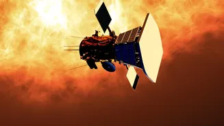
The long-term vision for this technology is ambitious. By creating a family of open-source foundation models for different scientific domains—including heliophysics, planetary science, and more—the potential for discovery grows exponentially. Some experts believe these various models could one day be combined into a comprehensive 'digital twin' of Earth. Such a system would provide unparalleled analysis and prediction capabilities for all kinds of environmental events. Furthermore, putting these models into orbit, which was first demonstrated in May 2026, opens up new possibilities for real-time data analysis directly on satellites, which could even allow operators to interact with the instruments using natural language. While challenges like the massive computational power required for training remain, these AI models mark a pivotal shift in our ability to monitor, understand, and protect our home planet.