



The Daily Downpour Scorecard
The monsoon in Mumbai is a spectator sport measured in millimetres. News reports diligently track the rainfall recorded at the Santacruz and Colaba observatories, often comparing the deluge to the annual rainfall of entire cities. For instance, in the first
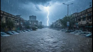
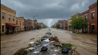
week of July 2026, the Santacruz station recorded nearly 989 mm of rain, surpassing the total for the entire month of July in the previous year. While these figures are dramatic and confirm the sheer intensity of the downpour, they have become a convenient, but incomplete, explanation for the chaos on the streets. The data proves it's raining heavily, which no one disputes. What it fails to capture is why the city's response to this predictable event feels increasingly inadequate.
An Antique Drainage System
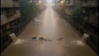
Mumbai’s primary defence against rain, its stormwater drainage system, is a relic from the British era, over a century old. Originally designed in the 1860s, it was built for a much smaller, less populous city with more open spaces. The system was engineered to handle about 25 mm of rain per hour, a capacity that is now routinely and dramatically exceeded during modern monsoon cloudbursts, where several hundred millimetres can fall in just a few hours. Despite upgrades under the Brihanmumbai Stormwater Disposal System (BRIMSTOWAD) project, which aimed to increase capacity to 50 mm per hour, the core infrastructure remains old and overburdened. Efforts to reinforce these drains are ongoing, but it's a race against time and increasingly intense weather patterns.
The High Tide Blockade
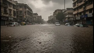
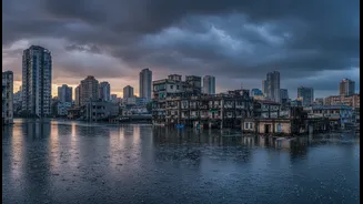
One of the most critical factors that rainfall data completely ignores is the tide. Mumbai is a coastal city, and its drains empty into the Arabian Sea. During a high tide, especially one over 4.5 metres, the sea level is higher than the drainage outfalls. This creates a natural blockade, preventing rainwater from escaping the city. If a period of intense rainfall coincides with a high tide, the water has nowhere to go. The drainage system, already struggling with the volume of water, effectively becomes a sealed container. The result is predictable and severe waterlogging in low-lying areas, a phenomenon that has little to do with whether 100 mm or 200 mm of rain fell and everything to do with timing.
The Concrete Sponge and Choked Arteries
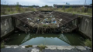
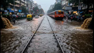
Mumbai's problem is not just about the water that falls from the sky, but the ground it falls on. Decades of relentless urbanization have replaced natural sponges like mangroves, wetlands, and open soil with impermeable concrete and asphalt. Rain that once would have been absorbed into the ground now has nowhere to go but into the strained drainage system. Compounding this is the chronic issue of choked drains and rivers. Plastic waste, construction debris, and silt clog the city's water arteries, drastically reducing their carrying capacity. The Mithi, Dahisar, and Poisar rivers, which should act as natural drainage channels, are often narrowed by encroachments and filled with refuse, turning them from solutions into part of the problem. As the Bombay High Court recently noted, this aspect of flooding is very much the city's "own creation."
Geography Is Destiny
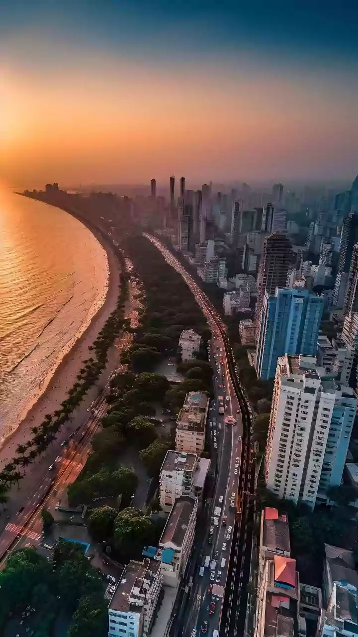
Finally, there is Mumbai's unique topography. The city was formed by connecting seven islands, a process that left many areas low-lying, some even below sea level. Areas like Hindmata, Sion, Kurla, and the Andheri subway are essentially bowl-shaped pockets that naturally collect water. Satellite imagery confirms that year after year, it is these same vulnerable, low-lying corridors that flood first and worst. No amount of rainfall data can alter this geographical reality. It highlights that the problem isn't just about managing a single weather event but re-evaluating the fundamental relationship between the city's layout and the water that flows through it.