
First, What is Synthetic Aperture Radar (SAR)?
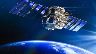
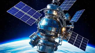
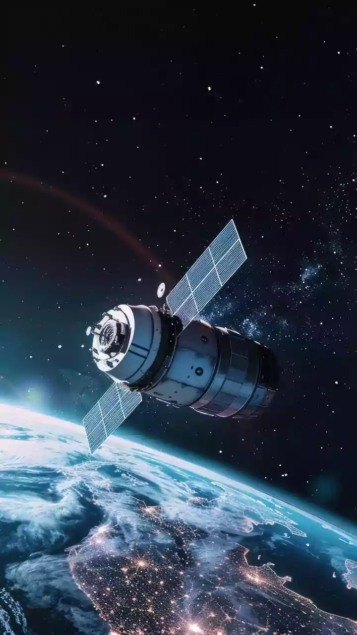
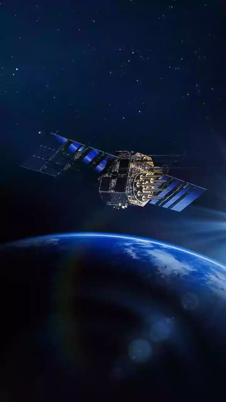
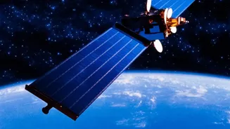
Before diving into the course, let's understand the technology. Synthetic Aperture Radar, or SAR, is a powerful form of radar used to create images of Earth's surface. Think of it as a satellite's superpower. Unlike optical cameras that need daylight
and clear skies, SAR can see through clouds, smoke, and darkness. It works by sending microwave signals to the ground and interpreting the returning echoes. This all-weather, day-and-night capability makes SAR invaluable for a huge range of applications, from tracking floods and landslides as they happen to monitoring agricultural health and urban expansion.
Unpacking ISRO's Free SAR Courses
ISRO, primarily through its premier training centre, the Indian Institute of Remote Sensing (IIRS) in Dehradun, regularly conducts short-term online courses focused on SAR technology. These courses are often free of charge and are designed to be accessible to a wide audience, including undergraduate and postgraduate students, researchers, and even technical staff in government organisations. While specific course dates vary, they typically run for about one to two weeks and are delivered via IIRS's dedicated e-learning platform, which includes live interactive sessions with experts. The main prerequisite is usually a foundational understanding of remote sensing and digital image processing.
The Core Skills You Can Build
The primary goal of these courses is to equip participants with hands-on skills in handling and interpreting SAR data. Students learn the nuts and bolts of SAR data processing, including crucial techniques like geometric corrections, speckle filtering to improve image clarity, and orthorectification. More advanced workshops, sometimes held in collaboration with international bodies like the European Space Agency (ESA), delve into state-of-the-art techniques. These can include Polarimetry (PolSAR), which examines the polarization of radar waves to understand surface properties, and Interferometry (InSAR), which uses multiple images to detect tiny changes in the ground surface, like those caused by earthquakes or subsidence.
From a Digital File to Real-World Impact
This isn't just abstract theory; the skills are directly tied to real-world applications. Course modules often focus on using SAR data for disaster management, a critical area for India. For example, participants might learn how to map the extent of a flood using SAR imagery when clouds would render normal satellite photos useless. Other key application areas covered include forestry, agriculture monitoring, cryosphere studies (ice and snow), urban planning, and infrastructure monitoring. By understanding how to process data from India's own RISAT series of satellites and the upcoming NASA-ISRO SAR (NISAR) mission, students are being trained on tools that are at the forefront of Earth observation.
Career Pathways with SAR Expertise
So, where can these skills take you? Expertise in SAR and remote sensing is a highly sought-after commodity in India's rapidly growing space and geospatial sectors. Within ISRO and other government bodies, there is a constant need for scientists and engineers who can analyse satellite data. The private sector is also booming with startups in agriculture-tech, disaster response, and urban planning that rely heavily on geospatial data. Roles like 'Data Analyst for Remote Sensing' or 'GIS Specialist' are becoming increasingly common. Having an IIRS/ISRO certification on your resume is a significant credential that signals a strong foundational knowledge and practical training in a high-demand, cutting-edge field.