
A Complete Picture of the Damage
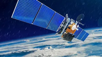
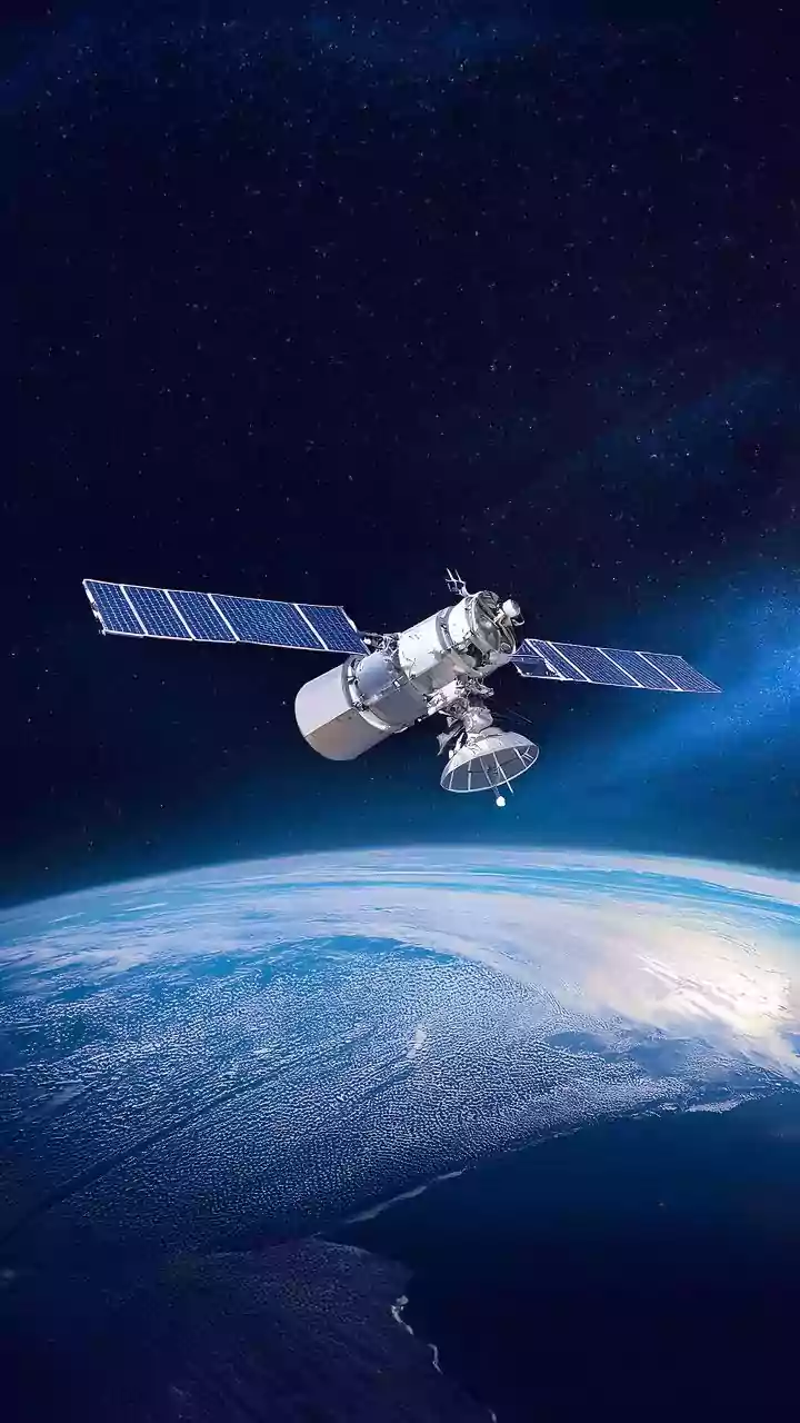
When floods strike, the first challenge is understanding the sheer scale of the event. Ground surveys are slow, dangerous, and often impossible due to submerged roads and damaged infrastructure. Satellite imagery cuts through this confusion by providing
a wide-area view in near-real time. By comparing images taken before and after the rainfall, emergency managers can instantly create accurate maps of the inundated areas. This allows them to see precisely which villages are cut off, which neighbourhoods are most affected, and how far the water has spread, something that scattered ground reports could never achieve.
Seeing Through Clouds and Darkness
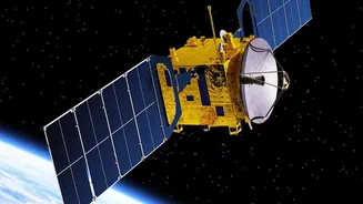
Extreme rainfall is often accompanied by persistent cloud cover, which can render traditional optical satellites useless. This is where Synthetic Aperture Radar (SAR) technology becomes invaluable. SAR satellites don't rely on visible light; instead, they send out microwave pulses that can penetrate clouds, smoke, and darkness. Calm water acts like a mirror, reflecting the radar signal away from the satellite and appearing as dark patches on the final image. This allows authorities to map flood extents 24/7, regardless of the weather conditions, ensuring a continuous flow of information when it is needed most.
Guiding Rescuers and Allocating Resources
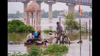
Accurate, up-to-date flood maps are crucial for first responders. This satellite-derived intelligence helps emergency teams prioritise rescue operations, identify safe routes for aid delivery, and allocate limited resources to the areas in greatest need. Instead of reacting to fragmented information, response efforts become strategic. Data can pinpoint critical infrastructure like hospitals and power stations that are at risk or damaged, and even identify stranded populations. This rapid situational awareness saves precious time and, ultimately, saves lives.
More Than Just a Picture
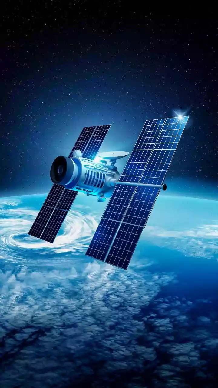
Modern satellites do more than just take pictures. They are equipped with a range of sensors that collect different types of data. Multispectral imagery can assess damage to vegetation and agricultural land, providing vital information for farmers and government agencies calculating economic impact. Some satellites can even monitor changes in water quality, detecting contamination from industrial runoff or sewage that floodwaters may have caused. Furthermore, combining satellite imagery with digital terrain models helps experts understand how the landscape influenced the flood, creating elaborate maps that pinpoint vulnerable zones.
Planning for a More Resilient Future
The value of satellite data extends long after the floodwaters recede. The information gathered is used to support damage assessments for insurance claims and government relief efforts. For engineers and urban planners, this data is invaluable for informing the reconstruction of roads, bridges, and drainage systems. Crucially, every flood event mapped by satellite contributes to a growing historical archive. By analysing this long-term data, scientists can improve flood-risk models, identify areas that are repeatedly affected, and provide better forecasts and warnings for future events, helping communities build long-term resilience.