





What Exactly is GRITSS?
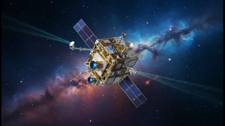
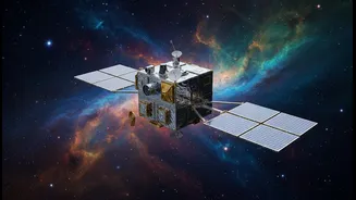
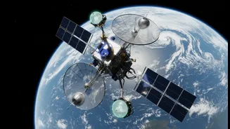
GRITSS stands for Geodetic Reference Instrument Transponder for Small Satellites. It’s a NASA technology demonstration mission featuring a small satellite, about the size of a suitcase, launched into orbit in early July 2026. Its primary job is to act
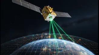
as a universal reference point in space. Think of it as a master translator for three different, highly precise ways scientists measure our planet: the Global Navigation Satellite System (GNSS), which includes the familiar GPS; Very Long Baseline Interferometry (VLBI), which uses radio telescopes; and Satellite Laser Ranging (SLR), which bounces lasers off satellites. Until now, combining data from these separate systems introduced tiny but significant errors, on the scale of millimetres. GRITSS is designed to eliminate these errors by being a single target that all three systems can observe simultaneously, effectively getting them all on the same page.
The Foundation: A Better Global Grid
The entire system of positioning on Earth relies on a framework called the International Terrestrial Reference Frame (ITRF). This is the foundational grid that allows for everything from precise navigation to tracking continental drift. The ITRF is built by combining data from the GNSS, VLBI, and SLR networks around the world. However, small discrepancies between how these independent networks are tied together at ground stations introduce inaccuracies into the global frame. GRITSS solves this by providing a common reference point in space, allowing scientists to connect the measurements from these different techniques with unprecedented precision. The mission's goal is to improve the accuracy of the ITRF to the 1-millimeter level, a crucial step for next-generation science.
Transforming Navigation and Mapping
While your daily commute doesn't require millimeter accuracy, many emerging technologies do. A more stable and accurate ITRF has a direct impact on the future of navigation. Autonomous vehicles, for instance, rely on hyper-precise positioning to operate safely. By strengthening the foundation of all GNSS systems, GRITSS will enable more robust and reliable location data. For mapping, the implications are equally profound. A more accurate reference frame allows for the creation of far more precise topographic maps of land, ice sheets, and the ocean floor. This allows us to track subtle changes in the Earth's shape, from the slow rebound of land after ice sheets melt to the bulging of the ground before a volcanic eruption.
A Sharper Eye on Climate Change
Perhaps the most critical impact of GRITSS will be in the field of climate science. Many key climate indicators are measured in millimeters. Global sea-level rise, for example, is currently measured at an average of 3.7 mm per year. To confidently measure and project these changes, the underlying reference frame must be exceptionally stable and accurate. By improving the ITRF, GRITSS will help scientists distinguish between actual sea-level rise and small errors in measurement. This enhanced precision is also vital for monitoring the melting of ice sheets in Greenland and Antarctica, tracking changes in global water resources in aquifers, and understanding the complex dynamics of ocean currents. Essentially, a better reference frame allows us to measure the planet's pulse with far greater confidence.
How It Works and What's Next
The GRITSS satellite carries a unique payload. It includes a modified GPS receiver that captures navigation signals and upconverts them into frequencies that the giant radio dishes of the VLBI network can detect. It also carries a traditional laser retroreflector, a special mirror that allows SLR ground stations to bounce laser beams off it. This clever combination makes the small satellite a unified target for all three key geodetic techniques. The satellite launched successfully on July 7, 2026, and has begun its technology demonstration mission. If successful, the principles demonstrated by this single CubeSat could be applied to a future constellation of satellites, providing continuous, global coverage and further enhancing the accuracy of our planet-wide measurement system. This would pave the way for even more advanced Earth science and navigation applications in the decades to come.