



First Step: Check Official Alerts
Before you even think about stepping out, your first action should be to check for official weather alerts. The India Meteorological Department (IMD) issues colour-coded warnings (red, orange, yellow) that indicate the expected severity of rainfall. An
orange or red alert often means heavy to very heavy rain is likely, leading to disruptions. Authorities like the Brihanmumbai Municipal Corporation (BMC) and the Mumbai Police frequently post advisories on social media, urging citizens to avoid venturing out unless necessary during severe downpours. Heeding these warnings can save you from getting stranded.
Know the Notorious Waterlogging Hotspots
Every Mumbaikar knows that not all areas are created equal when it comes to rain. Certain low-lying areas are notoriously prone to flooding year after year. According to BMC's flood preparedness plans, chronic waterlogging spots include areas like Hindmata, King's Circle, the Andheri and Milan subways, and parts of Kurla, Sion, and Dadar. More recently, even areas in South Mumbai like Churchgate and Oval Maidan have been added to the list of flood-prone zones. If your route takes you through any of these locations, it's wise to have an alternate plan or postpone your travel. Traffic can slow to a crawl in these zones, turning a short trip into a multi-hour ordeal.
Choosing Your Mode of Transport
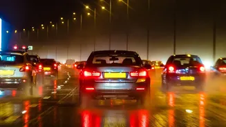
Your choice of transport can make or break your journey. Local trains, Mumbai's lifeline, often face delays or cancellations due to waterlogged tracks. While the Metro is generally more resilient, reaching the station can be a task in itself. BEST buses are a viable option, but services on dozens of routes are frequently diverted or curtailed due to flooded streets. Ride-hailing services like Ola and Uber remain available, but expect surge pricing and longer wait times. If you must travel, using a combination of transport—like taking a rickshaw to the nearest operational Metro station—can sometimes be the most effective strategy.
Leverage Technology: Your Monsoon Lifeline
Your smartphone is your most powerful tool for navigating the monsoon. Several apps provide crucial real-time information. M-Indicator is a must-have for live local train tracking, bus routes, and cancellation updates. The YATRI app, developed with Central Railway, also provides reliable train status information directly from the control room. For broader alerts, the BMC's 'Disaster Management' app sends notifications about traffic diversions and weather warnings. Apps like Windy offer detailed weather visualisations, allowing you to see when and where the heaviest rain is expected to fall. Using these tools to plan ahead is no longer a convenience; it's a necessity.
Timing Is Everything
When you travel can be just as important as where and how. Avoid travelling during peak hours if possible, as this is when public transport is most crowded and roads are most congested. A particularly risky time to be on the road is during a high tide coinciding with heavy rainfall, as this dramatically increases the likelihood of severe flooding. Many offices now offer flexible hours during severe weather; take advantage of this if you can. Starting your journey early in the day, before the rain intensifies, can also be a smart move. A little flexibility can help you avoid the worst of the chaos.
Essential Safety Precautions
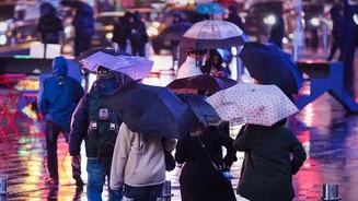
Safety goes beyond just your commute. Walking through floodwater is extremely dangerous as it can hide open manholes, sharp debris, and even damaged electrical wires. Always wear sturdy, waterproof footwear with a good grip. It's also wise to carry a 'monsoon kit' in your bag: a powerful umbrella, a waterproof pouch for your electronics, a fully charged power bank, and a small towel. Keeping a bottle of drinking water and some snacks can be a lifesaver if you find yourself stuck for longer than expected. Finally, always let someone know your route and expected travel time.