
More Than Just a Picture
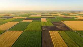
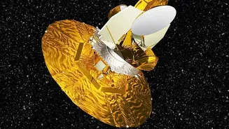
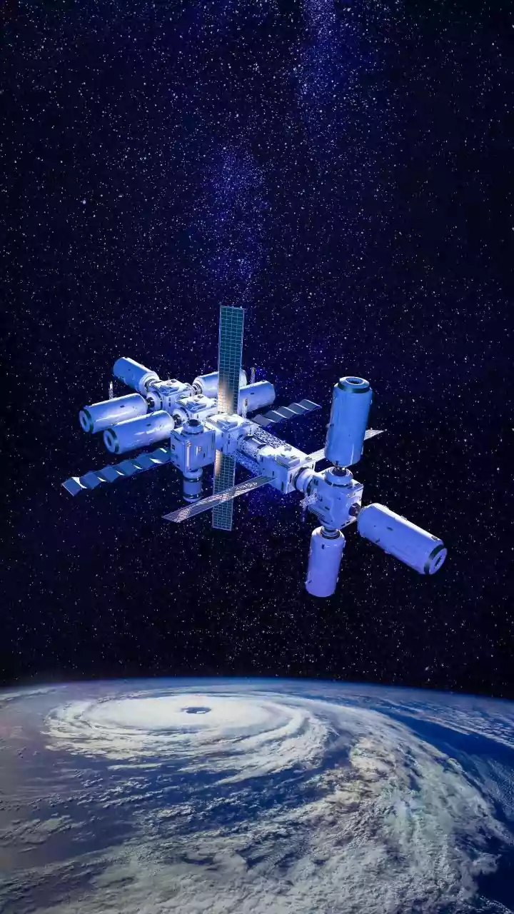
When we think of satellites, we often imagine simple photographs of the Earth's surface. But for agriculture, the technology goes much deeper. Satellites used for crop monitoring are equipped with advanced sensors that capture information beyond what
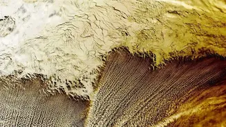
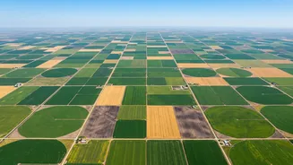
the human eye can see. They use multispectral and hyperspectral imaging to record data across various light bands, including visible and near-infrared light. This is crucial because the way plants reflect different types of light reveals a wealth of information about their condition. Healthy, thriving vegetation looks very different from stressed or diseased plants when viewed through these specialized sensors, allowing for analysis on a massive scale.
The Secret Language of Plants: Understanding NDVI
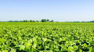
One of the most powerful tools in satellite-based agriculture is the Normalized Difference Vegetation Index, or NDVI. In simple terms, NDVI is a calculation based on the difference between the red light that plants absorb and the near-infrared light they reflect. Healthy plants, rich in chlorophyll, are very good at absorbing red light for photosynthesis and strongly reflect near-infrared light. Stressed, diseased, or dehydrated plants do the opposite. By converting this data into an index value between -1 and +1, NDVI maps provide a clear, colour-coded guide to plant health across huge areas. Values close to +1 indicate dense, healthy vegetation, while lower values can signal a problem long before it's visible on the ground.
All-Weather Insights with Radar
A major limitation of optical satellites is that they can't see through clouds. For many agricultural regions in India, especially during monsoon season, this can be a significant problem. This is where Synthetic Aperture Radar (SAR) satellites come in. SAR doesn't rely on light; it sends out its own radio waves and measures the echoes that bounce back. This allows it to create detailed images of the land surface day or night, regardless of cloud cover. SAR is particularly effective at monitoring soil moisture levels, assessing flood damage, and even understanding the physical structure of crops, providing a continuous stream of data when optical sensors are blinded.
From Data to Actionable Decisions
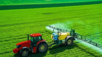
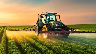
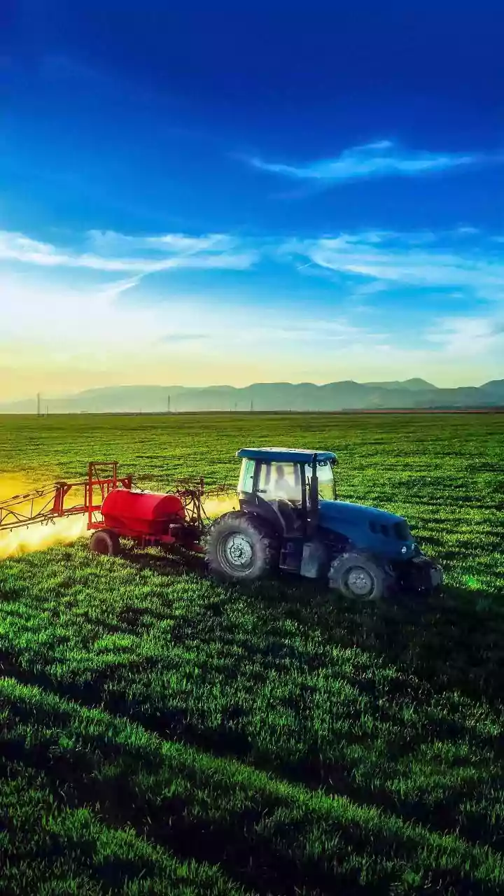
Raw satellite data is just the beginning. The real magic happens when this information is processed and analyzed, often with the help of artificial intelligence and machine learning. These systems can sift through terabytes of imagery to identify patterns and generate actionable insights for farmers. Applications are vast and transformative. For example, by identifying specific zones within a field that are under stress, farmers can practice precision agriculture—applying water, fertilizer, or pesticides only where needed. This not only saves money and resources but also reduces the environmental impact of farming. Other uses include predicting crop yields, managing irrigation schedules, detecting pest infestations early, and assessing damage for crop insurance claims.
The View from India
India, with its vast agricultural sector, is increasingly leveraging space technology. The Indian Space Research Organisation (ISRO) has been a key player for decades, with programs like FASAL (Forecasting Agricultural output using Space, Agro-meteorology and Land-based observations) providing pre-harvest production estimates for major crops. ISRO operates a fleet of satellites, including the Resourcesat and RISAT series, which provide both optical and all-weather radar data tailored for agricultural needs. More recently, initiatives like the Krishi-Decision Support System (Krishi-DSS) aim to deliver real-time data on crop conditions, soil health, and pest warnings directly to farmers, empowering them to make proactive decisions. This fusion of indigenous satellite capability and on-ground application is vital for boosting productivity and ensuring food security.