



A Sky Stuck in the Past
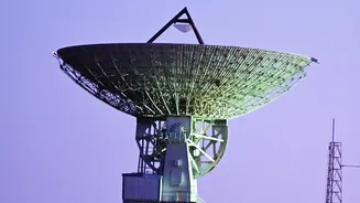
For decades, the US air traffic control system, the busiest in the world, has relied on a foundation of ground-based radar. This technology, revolutionary in its time, works by sending out radio waves that bounce off aircraft, allowing controllers to
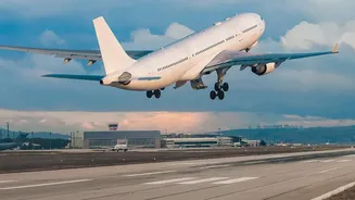
'see' a plane's position on their scopes. This system is paired with controllers communicating with pilots via radio and, in some cases, tracking flights using paper strips. Recently, officials even confirmed that floppy disks were still being used at hundreds of facilities to load vital weather and operational data. While robust, this legacy infrastructure has its limits. Radar updates can take several seconds, routes are often indirect 'highways in the sky' between ground-based navigation points, and the system struggles with increasing traffic and weather disruptions, leading to delays.
Introducing the NextGen Overhaul
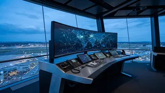
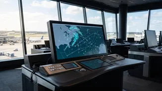
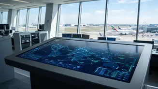
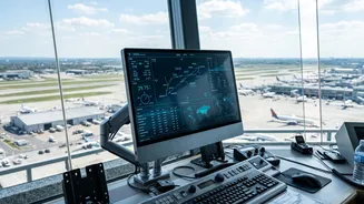
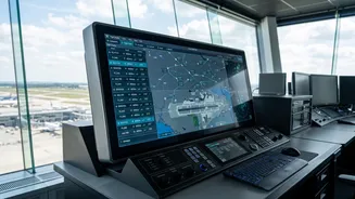
The solution is a multi-billion dollar, multi-decade initiative called the Next Generation Air Transportation System, or NextGen. Think of it as upgrading the entire country's aviation operating system. The goal is to shift from a ground-based, analogue system to a satellite-based, digital one. This long-term programme aims to increase safety, boost efficiency, and reduce aviation's environmental impact. Recent announcements confirm a new phase of this rollout is actively underway, with the deployment of the Enterprise Information Display System (E-IDS) beginning at several airports. This specific upgrade replaces four outdated information systems, finally doing away with those floppy disks and creating a unified digital dashboard for controllers.
From Radar to Satellite Surveillance
The cornerstone of NextGen is a technology called Automatic Dependent Surveillance-Broadcast, or ADS-B. Instead of waiting for radar to find it, an aircraft with ADS-B uses its own GPS to determine its precise position, speed, and altitude. It then automatically broadcasts this information about once per second to air traffic controllers and other nearby aircraft. This provides a far more accurate, real_time picture of the airspace for everyone. For controllers, it's like switching from a blurry image that refreshes every few seconds to a high_definition live stream. For pilots, it enhances their situational awareness, allowing them to see the same traffic that controllers see.
What This Means for Passengers
While the technology is complex, the benefits for travellers are straightforward. More precise navigation allows for more direct routes, which can mean shorter flight times and less fuel burned. This, in turn, reduces carbon emissions, making air travel greener. By giving controllers better tools to manage traffic, especially during bad weather, the system can reduce ground holds and airborne delays, getting you to your destination on time more often. This increased efficiency also allows more aircraft to operate safely within the same airspace, expanding the system's overall capacity to meet future demand. Ultimately, the programme is designed to make the entire travel experience safer and more predictable.
A Long and Complex Journey
Upgrading a nation's entire air traffic control system is not a simple task; you cannot just turn the old one off and the new one on. The transition is a phased rollout expected to continue for years, with a total cost running into the tens of billions of dollars. The recent start of the E–IDS rollout is planned to reach 435 sites by the end of 2028. This massive undertaking involves not just installing new hardware and software at thousands of sites, but also integrating various systems and retraining an entire workforce of controllers and technicians, all while managing the 50,000–plus flights that cross the US sky every day. It is a monumental but essential step toward ensuring the aviation network remains safe and efficient for decades to come.