




What the Research Confirms
Numerous studies, including extensive research by the Indian Institute of Science (IISc), paint a stark picture of Bengaluru's flood vulnerability. The consensus is clear: the city's transformation has come at a hydrological cost. One study highlighted
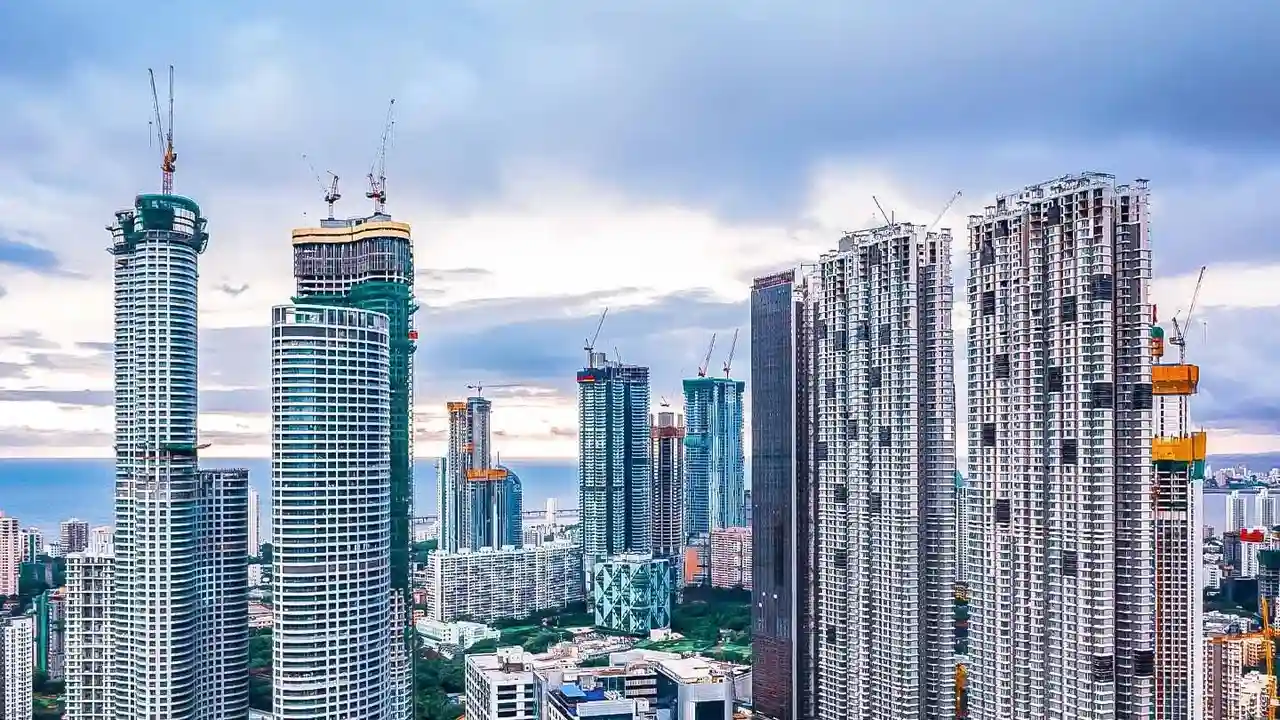
a staggering 1028% growth in urban areas between 1973 and 2017. This rapid expansion has led to an 88% decline in vegetation and a 79% loss of water bodies over a similar period. These are not just academic numbers; they represent the systematic replacement of natural sponges like lakes and green spaces with impermeable concrete. Research points out that many of the city's most flood-affected zones are built directly on former lake beds or have encroached upon vital stormwater drains (rajakaluves), making them inherently susceptible to waterlogging.
The Anatomy of Bengaluru's Floods
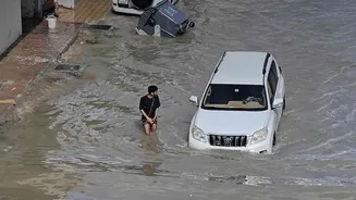
Bengaluru was historically known as the 'City of Lakes', with a sophisticated, interconnected system of tanks and valleys that naturally managed monsoon runoff. However, decades of unplanned urbanisation have dismantled this system. Key causes of the frequent flooding include the encroachment and narrowing of stormwater drains, dumping of solid waste and construction debris that blocks water flow, and the sheer loss of pervious surfaces that can absorb rain. As a result, even moderate downpours can overwhelm the city's outdated drainage infrastructure, turning streets into rivers and inundating low-lying residential areas. The problem has shifted from localised waterlogging to widespread valley flooding, affecting even upscale neighbourhoods and critical IT corridors.
Your Pre-Purchase Flood Audit
For a prospective homebuyer, the question “Does this area flood?” has become a crucial part of due diligence. Before you invest, conduct a thorough check. Start by talking to people who already live in the neighbourhood—local shopkeepers and long-term residents can provide invaluable, firsthand accounts of the area's behaviour during heavy rains. Scour the internet for news reports and videos from previous monsoon seasons, paying close attention to reports of waterlogging in your area of interest. Resident welfare association (RWA) social media groups and online forums can also be goldmines of information. Finally, try to find historical flood data; while official, centralised maps can be hard to come by, some citizen-led initiatives and proptech tools are emerging to fill this gap.
The On-Ground Inspection Checklist
A site visit, especially during or after a rain spell, is non-negotiable. Look for tell-tale signs: water stains on the lower parts of boundary walls, the level of the road in relation to the ground floor of the property, and the visible condition of local drainage channels. Is the property situated on high ground, or does it sit in a noticeable depression? Check the proximity to lakes and stormwater drains using mapping tools like the BBMP's GIS portal or even the free Dishank app to ensure the property is not within the legally mandated buffer zones. Banks are increasingly wary of funding homes in flood-risk zones, and properties built on encroached land face legal and demolition risks, severely affecting their resale value.
From Individual Action to Systemic Change
While individual due diligence is critical for financial self-preservation, Bengaluru's flooding is a systemic problem requiring systemic solutions. Experts consistently call for mandatory hydrological studies before land-use changes, strict enforcement of zoning regulations around water bodies, and a massive overhaul of the city's drainage infrastructure. Restoring the lost interconnectivity between lakes and clearing encroachments from stormwater drains are vital long-term goals. For the homebuyer, this means understanding that even a well-chosen property can be affected by poor infrastructure in the surrounding area. The risk is not just about water entering your house, but also about access, traffic gridlock, and the overall livability of a neighbourhood during the monsoon.