




Meet India's New Watchtower
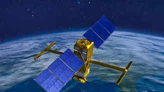
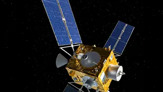
EOS-05, also known as Geo-Imaging Satellite-1A (GISAT-1A), is a state-of-the-art Earth observation satellite developed by the Indian Space Research Organisation (ISRO). Weighing approximately 2,367 kg, its primary mission is to provide frequent, high-resolution
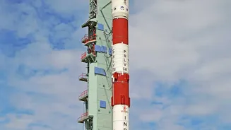
images of the Indian subcontinent. This satellite is the successor to the GISAT-1 mission, which was lost during a launch failure in 2021. Scheduled for launch aboard a GSLV-F17 rocket, EOS-05 is not just another satellite; it represents a significant leap in India's strategic capabilities for disaster management and environmental monitoring.
The Geostationary Advantage
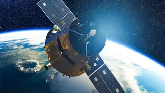
What makes EOS-05 particularly special is its orbit. Unlike many Earth observation satellites that circle the globe from pole to pole and revisit a location only every few days, EOS-05 will be placed in a geostationary orbit (GSO). This means it will be positioned at an altitude of about 36,000 kilometres above the equator, orbiting at the same speed as the Earth's rotation. This unique placement allows it to remain in a fixed position relative to the ground, essentially hovering over the Indian subcontinent. This constant watch provides the ability to image the entire country every 30 minutes, and for select areas of interest, as frequently as every five minutes, enabling near real-time tracking of rapidly developing events.
A Powerful Tool Against Floods
For a country prone to devastating floods, the capabilities of EOS-05 are critical. Its advanced imaging instruments can provide rapid and wide-scale mapping of flood-inundated areas. During a flood event, disaster management agencies need to know the extent of the water, which villages are cut off, and where to direct rescue and relief efforts. The satellite’s ability to deliver frequent images helps authorities assess the situation as it unfolds, rather than relying on delayed information. This near real-time data is invaluable for planning evacuations, deploying response teams, and ultimately, saving lives.
Tracking the Fury of Cyclones
Cyclones are another major threat to India's coastal regions. The key to mitigating their impact lies in early and accurate prediction of their path and intensity. Geostationary satellites are exceptionally well-suited for this task. By continuously observing a large expanse of the ocean and atmosphere, EOS-05 can monitor the formation of cyclonic systems, track their movement, and provide crucial data on wind speeds and cloud patterns. This constant stream of information allows meteorologists to issue more timely and precise warnings, giving coastal communities more time to prepare and evacuate, significantly reducing potential loss of life and property.
Beyond Storms and Floods
The utility of EOS-05 extends far beyond just floods and storms. Its imaging capabilities are designed to monitor a wide range of other hazards. This includes detecting and tracking forest fires, which can be spotted in their early stages, allowing for quicker firefighting responses. It can also be used to monitor large-scale landslides, assess agricultural health and drought conditions, and track changes in land use and vegetation. This multi-faceted approach makes EOS-05 a comprehensive tool for national resource management and environmental protection, in addition to its primary role in disaster response.