





Demystifying Earth Data
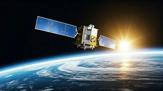
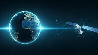
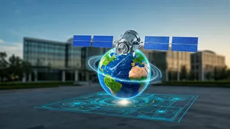
Before we talk about careers, let's clarify what 'Earth data'—more formally known as geospatial data or Earth observation (EO) data—really is. In simple terms, it's information about our planet, captured from a distance. This includes satellite imagery,
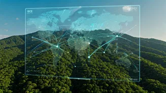
aerial photographs from drones, and data from GPS systems. This information is then processed using tools like Geographic Information Systems (GIS) to create detailed, layered maps and analytical models. Think of it as Google Maps on steroids: instead of just seeing roads, you can overlay data about soil quality, flood risk, population density, or infrastructure projects. This allows us to see patterns and relationships that are invisible to the naked eye.
A Critical But Widening Skill Gap
The Indian geospatial market is booming, expected to grow significantly by 2032. Government initiatives like the National Geospatial Policy 2022 have liberalised the sector, democratising access to data and encouraging private participation. This has created a massive demand for professionals who can work with this data. The problem? There's an acute shortage of them. Studies and industry leaders consistently point to a major gap between what the industry needs and the skills of graduates coming out of universities. Many educational curriculums haven't kept pace with the rapid evolution of geospatial technology, which now heavily incorporates AI, machine learning, and cloud computing. As a result, companies often have to invest significant resources to train new hires, slowing down innovation.
From Farm to Megacity, Demand Is Everywhere
The need for Earth-data fluency isn't confined to a niche tech corner; it's spread across India's most critical sectors. In agriculture, it's used for crop forecasting, monitoring soil health, and precision farming. In urban planning, it's the backbone of Smart City projects, helping manage resources, plan infrastructure, and optimise transport. During natural disasters, geospatial data is vital for mapping affected areas, coordinating rescue efforts, and assessing damage. Other major demand drivers include infrastructure development (monitoring large-scale projects like highways and ports), defence, water resource management, and even insurance and finance for risk assessment.
The New Must-Have Career Skills
So, what does it mean to be 'Earth-data fluent'? It's a blend of domain knowledge and technical skills. At its core is proficiency in GIS software, but that's just the starting point. Today's market demands skills in remote sensing (interpreting satellite and drone imagery), spatial analysis, and database management. Increasingly, programming languages like Python and R are essential for automating tasks and performing complex analyses. As the field merges with data science, expertise in machine learning, AI, and cloud platforms like Google Earth Engine is becoming highly sought after. Roles are diversifying, ranging from GIS Analyst and Remote Sensing Specialist to the more advanced GIS Developer, who builds custom applications.
How to Bridge Your Own Fluency Gap
For students and professionals looking to enter or advance in this field, the opportunities are vast. Universities are beginning to offer more specialised courses, from M.Sc. programs in Geospatial Science to partnerships with industry for hands-on training. Beyond traditional degrees, numerous institutes provide certified courses at beginner, intermediate, and advanced levels, covering everything from basic cartography to Web GIS and machine learning applications. Government bodies and industry players are also stepping up with workshops and capacity-building programs to upskill the workforce. For those already in fields like civil engineering, agriculture, or environmental science, adding geospatial skills can provide a significant career advantage and open doors to new, high-demand roles.