




A Sudden, Unexplained Deluge
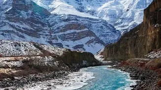
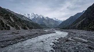
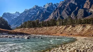
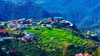
On the morning of August 26, 2026, a torrent of water, mud, and debris surged down the Bhote Koshi river valley along the Nepal-Tibet border, catching communities completely by surprise. The flash flood was devastating, sweeping away entire villages,
destroying bridges, and causing significant loss of life on both sides of the border. In the immediate aftermath, there was widespread confusion. With no warning and no heavy rainfall, authorities and residents struggled to understand what could have possibly triggered such a massive and sudden disaster. Initial theories pointed towards a possible earthquake or the outburst of a glacial lake, a known hazard in the region.
The Puzzling Seismic Signal
The mystery deepened when the United States Geological Survey (USGS) reported it had detected seismic activity near the border at the time of the flood. Initially logged as a magnitude 4.4 earthquake, this seemed to support the earthquake-trigger theory. However, upon closer inspection, the data didn't fit. The seismic waves had a different signature from a typical tectonic event. Instead of the sharp, abrupt shock of an earthquake, the signal was a long, sustained rumble—more characteristic of a massive landslide. This prompted USGS scientists to re-examine all available data, including long-period seismic waves and satellite imagery, to solve the geological puzzle.
The Forensic Investigation
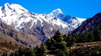
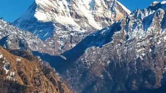
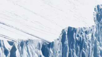
The USGS revised its analysis, concluding that the seismic signal was not from an earthquake at all. Instead, it was generated by a colossal glacial collapse. A massive section of a glacier, estimated to be over half a kilometer wide, had broken off a mountainside at an elevation of over 17,000 feet. This enormous mass of ice and rock then crashed into the valley below, creating a gigantic landslide and debris flow. The sheer force and friction of this event generated seismic waves powerful enough to be detected by seismographs, which the USGS later upgraded to a magnitude 5.2 event to reflect the immense energy released by the landslide itself.
From Collapse to Catastrophe
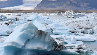
The catastrophic flood was a direct result of this multi-stage event. The collapsing glacier and subsequent landslide acted like a massive piston, likely blocking the Lhende river, a tributary of the Bhote Koshi. This created a temporary, highly unstable dam. When this dam of ice and rock debris inevitably failed, it unleashed the impounded river water in a single, devastating pulse. The floodwaters were a thick slurry of water, sediment, and ice, which gave them immense destructive power as they raced downstream. This type of event, sometimes called a GLOF (Glacial Lake Outburst Flood), is one of the most dangerous hazards in the Himalayas.
A Warning from a Warming Himalaya
This tragedy is a stark reminder of the growing dangers in high-mountain regions. As climate change accelerates, glaciers in the Himalayas are retreating at an alarming rate, losing stability and making such collapses more likely. The formation and expansion of glacial lakes, dammed by unstable moraines of ice and rock, pose a significant and often transboundary threat to communities downstream, including in India, Bhutan, and Pakistan. Scientists have identified hundreds of potentially dangerous glacial lakes across the Hindu Kush Himalaya region. The 2026 Nepal event, like a similar disaster in Uttarakhand, India, in 2021, underscores the urgent need for better monitoring, regional data sharing, and advanced early warning systems to mitigate the risks from these rapidly evolving hazards.