



The Challenge of Pinpoint Forecasting
Predicting weather across a vast and geographically diverse country like India is a monumental task. While the India Meteorological Department (IMD) has become highly accurate in forecasting large-scale events like cyclones and the overall monsoon, predicting
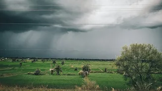
intense, localised rainfall has remained a persistent challenge. These sudden downpours, often developing and dissipating within a few hours, can cause significant disruption in both urban and rural areas. Traditional forecasting relied heavily on ground-based weather stations and earlier-generation satellites, which provided a good overview but lacked the detail needed for 'nowcasting'—predicting weather for the next few hours at a block or district level. This is where the next generation of meteorological satellites comes in, changing the very nature of daily weather alerts.
A New Eye in the Sky: INSAT-3DS
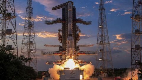
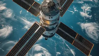
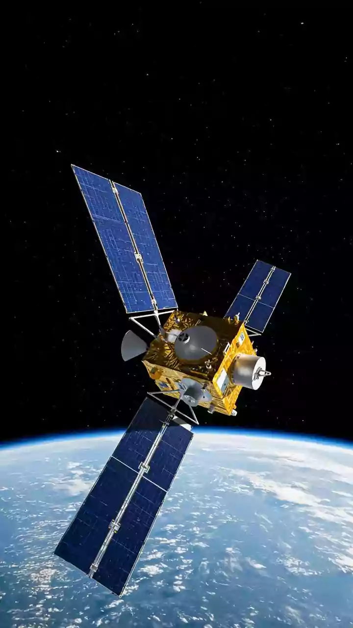
Launched in early 2024, ISRO's INSAT-3DS represents a significant leap forward. Positioned in a geostationary orbit approximately 36,000 kilometres above the Earth, it works in tandem with its predecessors, INSAT-3D and INSAT-3DR, to provide continuous and enhanced monitoring. Fully funded by the Ministry of Earth Sciences, this satellite is not just taking pictures of clouds; it is equipped with two state-of-the-art instruments—an advanced Imager and a sophisticated Sounder—that provide a multi-dimensional view of the atmosphere. This allows meteorologists to move beyond simply observing cloud cover and start analysing the atmospheric conditions that lead to rain, giving them the tools to forecast with greater precision.
The Imager: Seeing Storms Form in Real-Time
Think of the six-channel multispectral Imager on INSAT-3DS as a high-definition camera for the weather. It captures images of the Earth across different wavelengths of light, allowing it to distinguish between snow, fog, and different types of clouds. Compared to older satellites, this imager provides higher-resolution images more frequently. During severe weather events, it can perform rapid scans, delivering updated pictures every few minutes. This high-frequency imaging is crucial for tracking the rapid development of convective clouds—the towering clouds that often lead to thunderstorms and intense bursts of rain. By watching these systems evolve in near real-time, forecasters at the IMD can issue warnings with more confidence and lead time.
The Sounder: The True Game-Changer
Perhaps the most critical instrument for predicting rain is the 19-channel Sounder. While the imager shows the 'what' and 'where', the sounder explains the 'how' and 'why'. A sounder is a radiometer that measures infrared radiation to create a vertical profile of the atmosphere. In simple terms, it allows scientists to see the temperature and moisture content at different altitudes, from the surface up to the top of the atmosphere. This is the key to forecasting rain. The vertical profile reveals atmospheric instability—a crucial ingredient for cloud formation and precipitation. Before satellites with advanced sounders, this kind of detailed vertical data was only available from weather balloons, which could only be launched from a few locations twice a day. Now, the IMD has access to this data continuously across the entire country.
From Raw Data to Your Daily Alert
The data streams from the Imager and Sounder are processed at IMD's centres, where they are calibrated and converted into usable information like humidity profiles, sea surface temperatures, and cloud motion vectors. This rich satellite data is then fed into powerful numerical weather prediction models, which simulate the atmosphere's behaviour. The improved resolution of these models, combined with the detailed satellite inputs and an expanded network of Doppler radars, allows the IMD to generate hyperlocal forecasts. This integrated system, part of a national effort called Mission Mausam, is what powers the highly specific, short-term warnings about heavy rain, thunderstorms, and lightning that are now becoming more common.