







From Vague Forecasts to Pinpoint Accuracy
For decades, weather forecasting was a large-scale game. Predictions might cover an entire state or a large metropolitan area, but they lacked the granularity to tell you if it would rain in your specific neighbourhood. This was because traditional methods
relied on ground-based observations and models that couldn't capture the fast-developing, localized nature of urban rainfall. In a country like India, where monsoons can bring a city to a standstill in hours, this gap in forecasting was a major challenge for disaster management and daily life. The need was clear: a system that could see storms forming with greater precision and deliver warnings faster.
The Eyes in the Sky Get an Upgrade
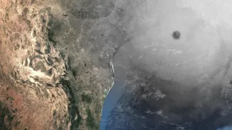
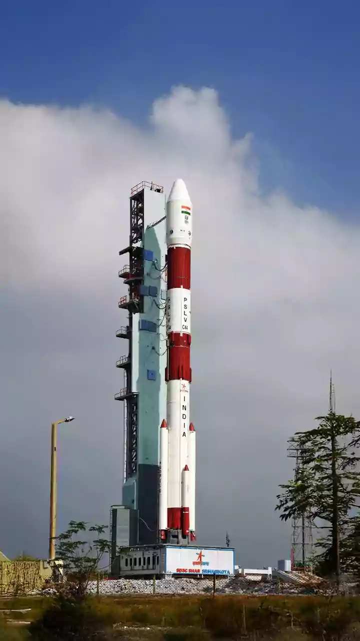
The game-changer has been the evolution of meteorological satellites. India's own INSAT series, particularly satellites like INSAT-3D and INSAT-3DR, are crucial to this. These are geostationary satellites, meaning they orbit at a speed that keeps them fixed over the same spot on Earth, providing a constant watch over the Indian subcontinent. They are equipped with advanced imagers and sounders. The imager captures pictures in different light spectrums, identifying cloud formation, type, and movement, while the sounder measures atmospheric temperature and humidity at different altitudes. By observing factors like cold cloud-top temperatures, which often signal a developing storm with heavy rain, forecasters can spot potential downpours much earlier than before.
The Power of 'Nowcasting'
This constant stream of high-resolution data enables a technique called 'nowcasting'. Unlike forecasting, which predicts weather days or hours ahead, nowcasting focuses on the immediate future—typically the next 0 to 3 hours. By combining satellite imagery with data from ground-based Doppler radars—which detect rain droplets and wind patterns within a storm—meteorologists can track the real-time development and trajectory of storm cells with remarkable accuracy. This is what allows the India Meteorological Department (IMD) to issue warnings for specific zones within a city, sometimes down to a few square kilometres, instead of a blanket alert for the entire region.
Artificial Intelligence: The Final Piece
Collecting massive amounts of data is one thing; making sense of it instantly is another. This is where Artificial Intelligence (AI) and Machine Learning (ML) come in. These systems are trained on decades of historical weather data, learning to identify complex patterns that precede extreme weather events like flash floods or intense thunderstorms. AI models can analyse satellite data, radar scans, and atmospheric moisture levels in near real-time, detecting subtle clues that a human forecaster might miss. This integration of AI significantly improves the accuracy and speed of nowcasts, turning a flood of data into a clear, actionable warning that can be sent to your phone in minutes.
What This Means for Urban India
The impact of this technology is profound. For residents, it means receiving a timely alert to stay indoors, delay travel, or avoid a waterlogged route. For city authorities, these precise warnings are invaluable. Emergency services can be pre-positioned in vulnerable areas, traffic can be diverted from potential flood spots, and public transport schedules can be adjusted. It transforms disaster management from a reactive to a proactive model, saving property and, more importantly, lives. As satellite technology continues to advance and AI models become even more sophisticated, the dream of a truly predictable urban weather environment is rapidly becoming a reality.