






The Allure and Peril of the Monsoon
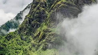
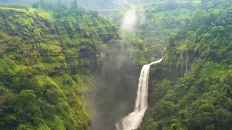
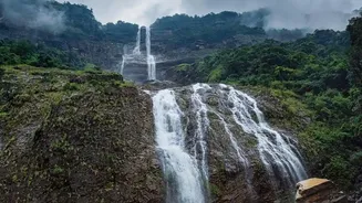
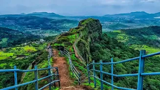
For adventure enthusiasts across India, the arrival of the monsoon signals the start of the trekking season in the Western Ghats. The rugged landscape, ordinarily baked in the sun, erupts into a vibrant spectacle of roaring waterfalls, mist-shrouded peaks,
and emerald forests. However, this beauty masks a significant danger: the sudden and dramatic rise of water levels. A gentle stream that is ankle-deep in the morning can transform into a raging, impassable torrent by the afternoon after a heavy downpour upstream. These flash floods are a primary cause of trekking emergencies, capable of cutting off routes, stranding groups, and creating life-threatening situations with little to no warning. For years, the only defences were the experience of local guides and the caution of the trekkers themselves, but the unpredictable nature of the rain always left a margin of risk.
A Digital Lifeline Emerges
In recent years, the widespread availability and reliability of Global Positioning System (GPS) technology has begun to change the safety equation. While professional rescue teams have used GPS data to locate stranded individuals in disaster scenarios like landslides, its proactive use by trekking groups is becoming a game-changer. Devices from brands like Garmin and SPOT, once the preserve of extreme mountaineers, are now increasingly common in the backpacks of guides and serious trekkers in the Ghats. These satellite communicators do more than just show a location on a map; they provide a crucial link to the outside world, working even in the remote valleys where mobile phone signals disappear. They allow for two-way messaging, location sharing with family back home, and, most importantly, a dedicated SOS button that can alert emergency response services with precise coordinates.
Connecting Location with Conditions
The true innovation lies not just in knowing where you are, but in connecting that information with what lies ahead. The next frontier in trekking safety involves integrating the real-time location of a trekking group with live environmental data. While a single, unified system for the entire Ghats is still an emerging concept, the technological components are already in place. The principle is straightforward: low-cost, solar-powered sensors placed at critical stream crossings can monitor water levels and flow rates. This data can be transmitted to a central server, which then cross-references the information with the live GPS tracks of trekking groups known to be in the area. If a sensor reports a dangerous surge in water levels, an automated alert can be sent directly to the guide's satellite device, warning them to halt, turn back, or seek higher ground well before they ever see the dangerous river themselves.
From Theory to the Trail
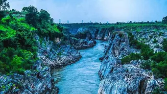
This integration of technologies moves safety from being reactive to proactive. Imagine a trekking group heading towards a popular but notoriously risky river crossing. Miles away and out of earshot, a cloudburst is swelling the river. In the past, the group would have no knowledge of the impending danger until they arrived at the riverbank. With a connected system, their guide would receive a message on their GPS device: “ALERT: Water level at XYZ crossing rising rapidly. Unsafe to cross. Seek alternate route or wait.” This simple piece of information, delivered in time, is the difference between a minor inconvenience and a potential disaster. It empowers guides and trekkers to make informed decisions based on real-time conditions on the ground, not just the weather forecast from that morning.
The Future of Responsible Trekking
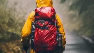
As this technology becomes more accessible and integrated, it has the potential to fundamentally improve safety across all of India's popular trekking regions. It could allow forest departments and local authorities to monitor trekking groups more effectively and deploy resources more efficiently in an emergency. For trekkers, it provides a powerful safety net, but it does not replace the fundamentals of responsible outdoor adventure. The need for experienced guides, proper gear, physical fitness, and sound judgment remains paramount. Technology is a powerful tool that enhances a trekker's ability to navigate and respond to the wild, but it is the respect for nature's power, combined with smart preparation, that ensures a safe return.