




An Unblinking Eye in the Sky
Imagine trying to watch a cricket match by only seeing a single snapshot every few hours. You’d miss the turning points, the big hits, and the story of the game. Most Earth observation satellites work this way; they orbit in a low-Earth orbit (LEO), capturing
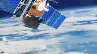
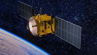
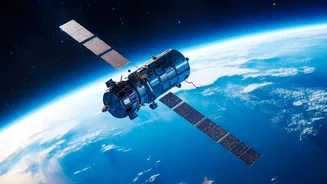
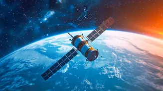
images of a specific location only when they pass over it. Geostationary satellites are different. Positioned at an altitude of about 36,000 kilometres, they orbit at the same speed as the Earth's rotation. This synchronisation allows them to hover over a fixed point, providing a constant, uninterrupted view of a large portion of the planet. For India, this means having a persistent eye over the entire subcontinent and the surrounding oceans, a capability that is transformative for real-time monitoring.
ISRO's Watchful Sentinels
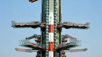
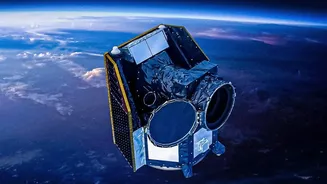
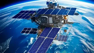
The Indian Space Research Organisation (ISRO) has long been a pioneer in space technology, and its geostationary satellites are critical national assets. The INSAT (Indian National Satellite System) series, particularly satellites like INSAT-3D, INSAT-3DR, and the newer INSAT-3DS, are workhorses for meteorology. These satellites carry advanced imagers and sounders that provide data on cloud cover, temperature, and humidity, which are crucial for weather forecasting. More recently, ISRO has focused on developing dedicated geo-imaging satellites like the GISAT series (also known as EOS). For instance, the EOS-05 satellite is designed to provide high-resolution imagery of the Indian landmass every 30 minutes, with the ability to focus on specific areas of interest as frequently as every five minutes. This rapid revisit capability is a game-changer for monitoring dynamic events.
Revolutionising Disaster Management
India's geography makes it vulnerable to a range of natural disasters, from cyclones and floods to forest fires and droughts. Geostationary satellites are a first line of defence. Their ability to provide continuous, real-time data allows agencies like the India Meteorological Department (IMD) to track the formation and movement of cyclones with incredible precision. This provides crucial lead time for evacuations and disaster response, saving countless lives. During floods, these satellites help create near-real-time inundation maps, showing authorities exactly which areas are affected. For droughts, they monitor vegetation health and soil moisture, enabling early warnings and intervention for farmers.
A Boost for Agriculture and Environment
Beyond disasters, constant observation from space has profound benefits for India's economy and environment. The agricultural sector, the backbone of rural India, benefits immensely from data on crop health, water stress, and yield estimation. Hyperspectral imaging capabilities on satellites like GISAT can provide detailed information on crop types and health, allowing for more efficient resource management. This helps in formulating better agricultural policies and ensuring food security. Furthermore, these satellites are vital for environmental monitoring, tracking deforestation, monitoring water bodies, and observing changes in air quality and pollution levels over urban centres.
Strengthening National Security
The dual-use nature of geostationary imaging technology also makes it an indispensable tool for national security. A constant eye on the nation's borders and vast maritime territory provides invaluable intelligence. The ability to monitor strategic assets, troop movements, and developments in neighbouring regions enhances India's situational awareness. While low-Earth orbit satellites provide high-resolution snapshots, geostationary platforms offer the persistence needed to monitor ongoing activities without interruption, acting as a formidable 'eye in the sky' that bolsters the country's defence posture.