

A Delta on the Edge
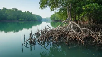
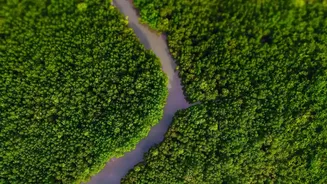
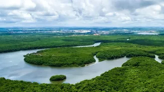
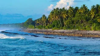
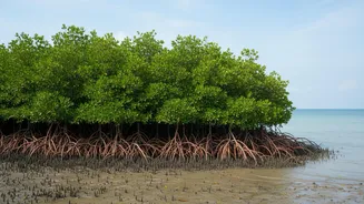
The Sundarbans, the world's largest mangrove forest, is a unique and precarious landscape. This vast delta, formed by the confluence of the Ganges, Brahmaputra, and Meghna rivers, is a low-lying region of islands, tidal rivers, and creeks. Its geography
makes it exceptionally vulnerable to the dual threats of riverine flooding and powerful tidal surges from the Bay of Bengal. For generations, communities have lived by the rhythm of the tides, but climate change is amplifying the danger. Rising sea levels and an increased frequency of severe cyclonic storms mean that tidal floods are becoming more destructive, breaching embankments, inundating villages with saline water, and destroying farmland and livelihoods. A single event can erase years of progress, making the need for reliable prediction more urgent than ever.
What Is Telemetry Technology?
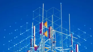
At its core, telemetry is the science of collecting data from remote or inaccessible points and automatically transmitting it to receiving equipment for monitoring. Think of it as a long-distance check-up. Instead of sending people to manually measure water levels or shoreline changes in hundreds of remote, hard-to-reach locations, telemetry uses a network of sensors and communication tools to do the job automatically. This technology often involves a combination of satellite-based remote sensing and ground-based instruments. In the context of flood prediction, it’s a game-changer, allowing scientists and disaster management authorities to gather a continuous stream of real-time information from across the vast and complex delta.
Scanning the Shorelines from Above
The workhorse of this effort is remote sensing, particularly through satellites. Satellites equipped with advanced sensors can monitor the Sundarbans without the need for a physical presence. Optical sensors provide valuable visual data but are often hindered by the dense cloud cover that accompanies cyclones and monsoons. This is where Synthetic Aperture Radar (SAR) technology becomes critical. SAR can penetrate clouds and works day or night, providing consistent and reliable imagery of the water's edge. By comparing multi-temporal satellite images taken over weeks, months, and years, analysts can precisely map changes in the shoreline, identifying areas of rapid erosion and sediment deposition. This data reveals how and where the islands are shrinking or changing shape, offering vital clues about future vulnerabilities.
From Raw Data to Flood Alerts
Gathering data is only the first step. The real magic happens when this information is fed into sophisticated predictive models. These models, often powered by artificial intelligence and machine learning, integrate various data streams: satellite-derived shoreline maps, real-time river water levels from sensor stations, tidal patterns, and rainfall forecasts. By analysing these complex variables together, the system can simulate how a combination of high tides, storm surges, and heavy rainfall will impact the delta. This allows forecasters to predict not just if a flood will occur, but where it will hit, how high the water will get, and how long the inundation might last. This level of detail transforms a general warning into actionable intelligence.
A Lifeline for Vulnerable Communities
For the residents of the Sundarbans, an accurate and timely warning can be the difference between life and death. The existing early warning systems have often been hampered by delays and a lack of specific information, leaving communities with little time to react. Enhanced telemetry-based systems, like those being developed as part of West Bengal's comprehensive SHORE project, aim to extend this warning window. An eight-day lead time, as has been achieved experimentally in Bangladesh using satellite altimetry data, allows for organised evacuations to cyclone shelters, the securing of livestock and essential belongings, and the mobilisation of disaster response teams. It gives people the crucial time they need to move from a position of vulnerability to one of relative safety, drastically reducing the human cost of these increasingly frequent natural disasters.