


The View From Above
Imagine trying to map the full extent of a flood while you are standing in the middle of it, or tracking a wildfire's path from a single lookout point. It’s practically impossible. Traditional ground-based surveys are slow, expensive, and often dangerous,
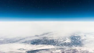
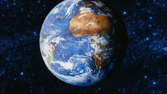
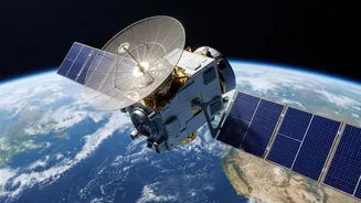
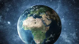
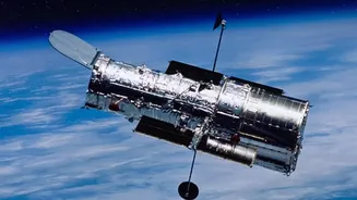
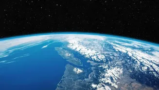
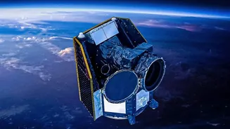
especially when a landscape is changing rapidly. They simply cannot keep up with the speed and scale of events like landslides, volcanic eruptions, or even rapid urban expansion. This is the fundamental problem that satellites solve. By orbiting hundreds of miles above Earth, these instruments provide a vantage point that is both comprehensive and continuous, allowing scientists and emergency managers to see the bigger picture without being hindered by ground-level obstacles.
More Than Just a Camera
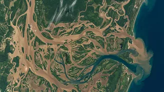
Modern Earth observation satellites are equipped with a suite of sophisticated sensors that go far beyond what a standard camera can see. Optical sensors capture visible light, much like a photograph, which is excellent for identifying deforestation, urban growth, and damage to buildings. But their limitations are significant: they can't see at night and are blocked by clouds. To overcome this, scientists rely on other technologies. Infrared sensors detect heat, making them invaluable for tracking the intensity of wildfires or monitoring ocean temperatures day and night. Perhaps most powerfully, Synthetic Aperture Radar (SAR) sensors actively send microwave pulses to the ground and measure the return signal. Since microwaves can penetrate clouds, rain, and darkness, SAR is a game-changer for monitoring events in tropical regions or during severe storms, revealing flood extent and ground movement with incredible precision.
A Race Against Disaster
In the critical hours after a natural disaster, information is the most valuable resource. Satellites provide a near real-time stream of data that helps first responders make life-saving decisions. By comparing images taken before and after an event, authorities can quickly identify the hardest-hit areas, find passable roads, assess damage to critical infrastructure like power grids, and guide evacuation efforts. For instance, during a hurricane, satellites can provide images every 30 seconds, tracking the storm's movement and intensity. After the storm passes, they can map the extent of flooding and pinpoint communities that are cut off and in need of aid. This rapid situational awareness dramatically reduces the time between a disaster's impact and the coordinated emergency response.
Tracking Slower, Sweeping Changes
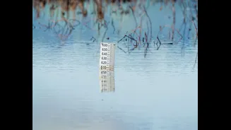
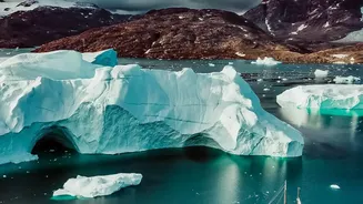
While satellites are crucial for immediate disasters, they are just as important for monitoring slower, but equally significant, environmental transformations. Deforestation in the Amazon, for example, is tracked extensively using satellite imagery, allowing conservation groups and governments to identify illegal logging operations that would be hidden within the vast forest. Similarly, satellites help monitor the health of crops, the shrinking of lakes due to irrigation, coastal erosion, and the retreat of glaciers. This ability to consistently monitor large, often remote areas provides undeniable evidence of long-term trends, informing policy on everything from climate change to urban planning.
The Power of the Digital Archive
One of the most powerful aspects of satellite observation is the creation of a continuous historical record. Programs like NASA's Earth Observing System and the Landsat missions have been collecting data for decades. This vast archive allows scientists to not only see what is happening now, but to understand how landscapes have evolved over time. By establishing a baseline, they can more accurately measure the impact of recent events and identify anomalies. This long-term perspective is essential for building predictive models that can forecast future risks, such as identifying areas prone to landslides or estimating which coastlines are most vulnerable to sea-level rise. It turns satellite imagery from a simple snapshot into a dynamic story of our changing planet.