

A New Atlas for an Old Dream
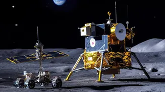
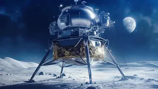
For decades, building a permanent base on the Moon has been a cornerstone of humanity's ambitions in space. Recent missions, including India's successful Chandrayaan-3, have confirmed that the Moon's south pole holds significant deposits of water in the form
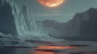
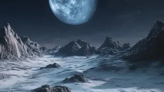
of ice, hidden away in permanently shadowed regions (PSRs). However, knowing it's there is one thing; knowing exactly where and in what form is another. This is where new, high-resolution mapping comes in. Instruments like NASA's ShadowCam, flying aboard the Korea Pathfinder Lunar Orbiter, are providing an unprecedented look into these dark, frigid craters. These aren't just pictures; they are detailed datasets revealing the texture, distribution, and potential accessibility of the ice, creating a new atlas for future lunar pioneers.
Why Water is Lunar Gold
On the Moon, water is more valuable than gold. Its importance goes far beyond quenching an astronaut's thirst. When broken down into its constituent elements, hydrogen and oxygen, water becomes the foundation for a self-sustaining presence in space. Oxygen provides breathable air for habitats, while hydrogen and oxygen together form a powerful, clean rocket propellant. The ability to source these materials directly from the Moon—a practice known as in-situ resource utilization (ISRU)—is a game-changer. It dramatically reduces the cost and complexity of missions, as a significant portion of a rocket's launch mass from Earth is the fuel it needs to get there and back. By creating a lunar refuelling station, a Moon base becomes a critical stepping stone for more ambitious missions to Mars and beyond.
Fresh Clues Written in Ice
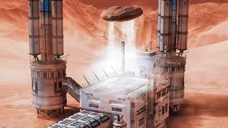
The latest maps are providing the specific clues engineers need to design the machinery for a lunar construction project. Earlier studies suggested vast, thick sheets of ice, but recent findings from instruments like ShadowCam indicate the water may be more patchily distributed or mixed in with lunar soil (regolith) as fine frost. Some studies now suggest surface ice concentrations might be lower than previously hoped, perhaps only a few percent by weight in many areas. This is a critical distinction. Extracting fine-grained, soil-mixed ice requires a different set of tools—perhaps large, mobile ovens that heat the regolith to release water vapour—than mining a solid block of ice would. These maps help scientists identify the most promising locations, differentiating between craters that might hold accessible, concentrated deposits and those that contain only a light dusting. This informs not just where to land, but what kind of equipment to build.
The Engineering Challenge Ahead
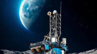
Knowing where the water is located is only the first step. The environment at the lunar south pole is one of the most extreme imaginable. Temperatures inside the permanently shadowed craters can plummet to below -200°C, making conventional machinery brittle and lubricants useless. Furthermore, the lunar dust, or regolith, is not like sand on Earth; it's a collection of microscopic, jagged, and electrostatically charged particles that are highly abrasive and can damage seals, clog mechanisms, and pose a health risk to astronauts. Powering the extraction process is another major hurdle. Solar panels are ineffective in the permanent dark of the craters, meaning any mining operation would need to be powered by a nearby nuclear fission reactor or by beaming energy from sunlit crater rims. These new maps allow engineers to focus their efforts on solving these specific, immense challenges for the most promising locations.