




Seeing the World in a New Light
For decades, when we thought of looking at Earth from space, we pictured optical images—essentially, very powerful photographs. While useful, this method has a major limitation: it relies on sunlight and clear skies. Radar-based Earth observation, however,
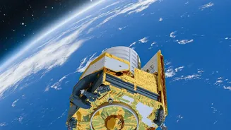
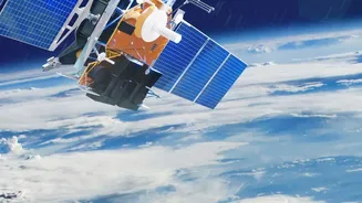
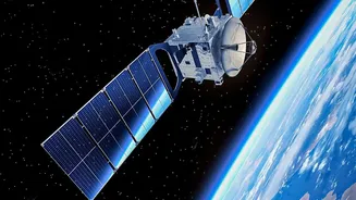
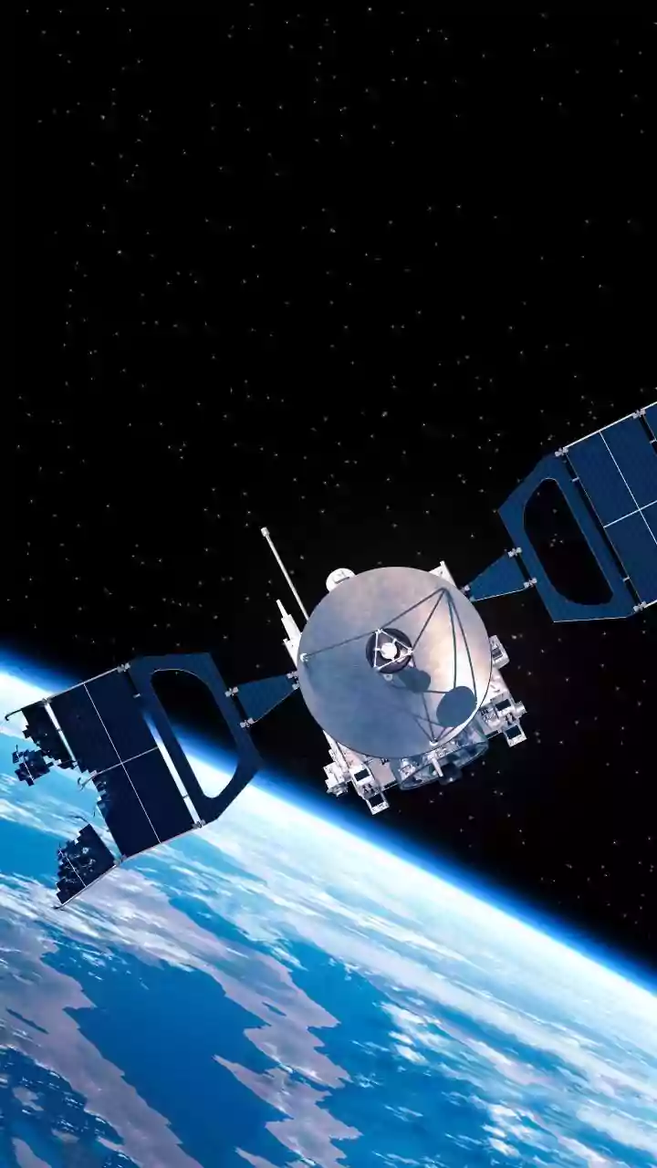
is a game-changer. Instead of passively collecting reflected sunlight, radar systems are active sensors. They transmit their own microwave pulses toward the Earth's surface and then record the echoes that bounce back. This allows them to create detailed images day or night, and, most importantly, through clouds, smoke, and rain that would blind traditional satellites. The most prominent of these technologies is Synthetic Aperture Radar, or SAR. By using the motion of the satellite, SAR systems can simulate a much larger antenna than they could physically carry, producing incredibly high-resolution images. This capability to see the unseen, consistently and reliably, is unlocking a vast array of applications.
A World of Powerful Applications
The demand for SAR data isn't just academic; it's driving real-world solutions across multiple sectors. In disaster management, SAR provides immediate insight into flood extents, earthquake damage, and the spread of wildfires, even when the area is obscured by smoke or clouds. For environmental monitoring, it's an indispensable tool for tracking deforestation, measuring the retreat of glaciers, monitoring soil moisture for agriculture, and identifying oil spills on the ocean's surface. Governments and security agencies use it for everything from border surveillance to tracking maritime activity. Because SAR can detect tiny, centimetre-scale changes over time, a technique called SAR interferometry (InSAR) is used to monitor the structural integrity of bridges and dams, track land subsidence in cities, and observe the subtle movements of the ground that might precede a volcanic eruption or landslide. This explosion in applications means there is a rapidly growing need for people who can work with this unique data.
The New Skill Set for Space Careers
The raw data from a SAR satellite looks more like TV static than a photograph. Turning this complex information into actionable insights requires a blend of skills that goes far beyond traditional image interpretation. The modern Earth observation specialist needs a strong foundation in computer science and data analysis. Proficiency in programming languages, particularly Python, is essential for automating the processing of massive datasets. A deep understanding of data science, including machine learning and artificial intelligence, is increasingly critical for developing algorithms that can automatically classify features and detect changes in the terabytes of data streaming from orbit. Beyond the digital skills, a solid grasp of physics is needed to understand how radar waves interact with different materials on the ground. Finally, knowledge of Geographic Information Systems (GIS) is required to integrate SAR data with other forms of spatial information and create comprehensive maps and analyses. This combination of physics, data science, and programming represents a significant shift in the qualifications needed to enter the space industry.
How Education Is Catching Up
To meet this growing demand, educational institutions and space agencies are racing to equip the next generation with the right expertise. Universities are introducing specialised courses and postgraduate degrees in remote sensing and geomatics that focus heavily on radar theory and data processing. Agencies like the European Space Agency (ESA) and NASA offer numerous free online courses, workshops, and tutorials that provide hands-on experience with real satellite data and open-source analysis software. These initiatives aim to demystify SAR and make it accessible to students and teachers without prior knowledge. Projects and competitions challenge students to use Earth observation data to solve real-world problems, from monitoring climate change to aiding humanitarian efforts. By bridging the gap between complex satellite technology and practical application, these programs are cultivating the talent pipeline needed to power the future of planetary monitoring.