


The Challenge in a Shifting Delta
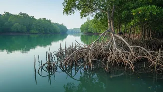
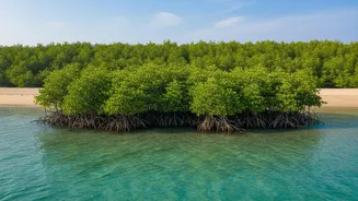
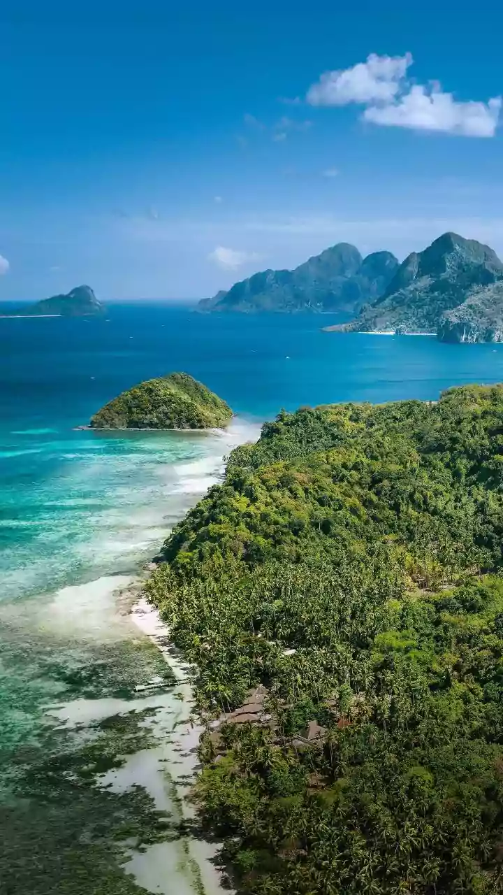
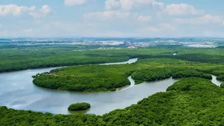
The Sundarbans, the world's largest mangrove forest, is a dynamic landscape sculpted by tides and rivers. This UNESCO World Heritage Site acts as a critical natural barrier, protecting coastal areas from storm surges and cyclones. However, this ecosystem
is incredibly sensitive. Subtle changes in water levels, driven by rising seas and altered river flows, can have profound consequences. Traditionally, monitoring such a vast and inaccessible area with ground-based stations is nearly impossible. The dense forest, winding creeks, and sheer scale of the delta require a perspective that only technology can provide.
An Eye in the Sky: Satellite Telemetry
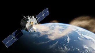
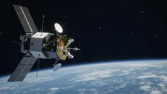
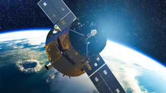
Enter satellite telemetry. In simple terms, this technology uses satellites to collect data from remote locations and transmit it to scientists on the ground. Instead of sending people into the dense mangroves, researchers use satellites as their eyes and ears. These instruments orbit the Earth, constantly gathering information on everything from temperature to vegetation health and, most importantly, the precise height of the water surface. This provides a comprehensive, real-time picture of the entire delta, something that was unthinkable just a few decades ago.
The Tools of the Trade
Two key technologies are at the forefront of this effort: satellite altimetry and Synthetic Aperture Radar (SAR). Think of a satellite altimeter as a highly advanced measuring tape. It sends a radar pulse down to the water's surface and measures the exact time it takes for the signal to bounce back. By calculating this round trip, scientists can determine the water's height with millimetre-level accuracy. SAR, on the other hand, is a powerful radar system that can see through clouds and even the dense mangrove canopy. It is particularly effective at detecting the boundary between land and water, and can even sense the water level beneath the vegetation through a “double bounce” effect, where the radar signal reflects off both the water and the tree trunks.
Why Every Millimetre Matters
These subtle measurements are not just academic. In the Sundarbans, the sea level is rising significantly faster than the global average. This leads to increased salinity in the water and soil, which threatens the health of less salt-tolerant mangrove species like the iconic Sundari tree. Higher water levels also contribute to coastal erosion, with some islands losing shoreline at an alarming rate. The data gathered by satellites helps scientists track these changes precisely, providing early warnings about which areas are most vulnerable and how the ecosystem is responding to stress.
From Data to Actionable Insights
The information collected is more than just numbers on a screen. It is transformed into detailed maps that show inundation patterns, erosion hotspots, and changes in mangrove health over time. This data is invaluable for conservation efforts and disaster management. For instance, the upcoming NISAR satellite, a joint project between ISRO and NASA, will use advanced SAR technology to monitor changes in coastal morphology and support flood mapping during storm surges. By understanding exactly how and where the water is rising, authorities can plan more effective strategies for protecting both the delicate ecosystem and the millions of people who depend on it for their livelihoods and safety.