









Meet EOS-05: The Watcher in the Sky
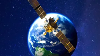
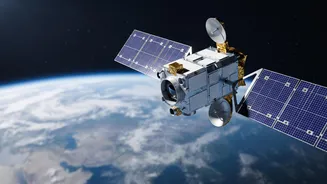
ISRO is gearing up for the launch of EOS-05, a state-of-the-art Earth observation satellite. Also known as GISAT-1A, this mission is India's second attempt to place a powerful imaging satellite into a geostationary orbit (GSO), approximately 36,000 kilometres
above the Earth. Unlike satellites in low-Earth orbit that circle the globe and pass over India periodically, a satellite in GSO matches the Earth's rotation. This allows it to stay fixed over the same broad region, providing a constant, dedicated watch over the Indian subcontinent. The mission is a renewed push to achieve this capability after its predecessor, EOS-03 (or GISAT-1), was lost in a launch failure in August 2021.
A Quantum Leap for Weather Forecasting
India currently relies on a robust constellation of satellites, including the INSAT series and Oceansat, which provide invaluable data for meteorology. However, EOS-05 represents a significant upgrade. Its primary advantage is its ability to deliver near-real-time imagery. The satellite is designed to capture a picture of the entire Indian landmass roughly every 30 minutes. For specific areas of interest, like a rapidly developing cyclone or cloud-burst event, it can revisit and image the location in as little as five minutes. This high-frequency monitoring will give meteorologists an unprecedented ability to track the rapid development of weather systems, offering more timely and precise warnings for severe weather events.
Redemption After a Setback
The road to this launch has not been without challenges. In August 2021, the GSLV-F10 rocket carrying the original GISAT-1 satellite (designated EOS-03) failed to reach orbit. The failure was attributed to a technical anomaly in the rocket's cryogenic upper stage, which failed to ignite. A detailed analysis pointed to a pressure drop in the liquid hydrogen tank as the likely cause. Such setbacks are part of the unforgiving business of space exploration. ISRO engineers have since conducted extensive reviews and the GSLV has completed several successful missions, building confidence for the crucial GSLV-F17 flight that will carry EOS-05 into space.
More Than Just Clouds
While its impact on weather forecasting is paramount, the capabilities of EOS-05 extend much further. The satellite is equipped with sophisticated multispectral and hyperspectral sensors, allowing it to see the Earth in various light wavelengths beyond what the human eye can perceive. This makes it an incredibly versatile tool for a wide range of national applications. Agencies can use its data for agricultural assessment by monitoring crop health, track changes in forests and water bodies, and support urban planning. In the event of natural disasters like floods or forest fires, the satellite's rapid-revisit capability can provide critical information to relief and rescue teams on the ground.
A Strategic National Asset
The ability to have a persistent eye over the Indian subcontinent also has significant strategic implications. Continuous monitoring of border areas and maritime zones enhances the nation's security apparatus. The data from EOS-05 can be used for defence surveillance and monitoring activities across India's vast and varied frontiers. This dual-use capability, serving both civilian and strategic purposes, makes the successful launch and operation of EOS-05 a high-stakes national priority. The mission represents not just a technological milestone but a vital addition to India's capacity to manage its resources, protect its citizens, and secure its interests.