






An All-Weather, Day-and-Night Observer
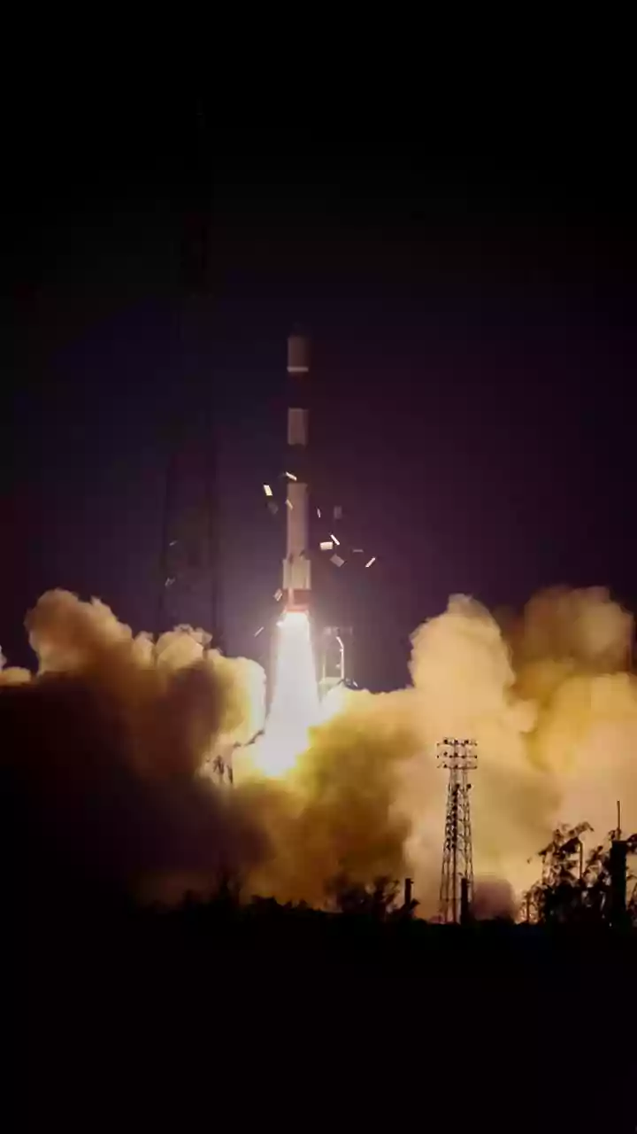
NISAR, which stands for NASA-ISRO Synthetic Aperture Radar, is an advanced Earth-observing satellite. Unlike optical satellites that need daylight and clear skies, NISAR uses a technology called Synthetic Aperture Radar (SAR). It actively sends microwave
pulses to the Earth's surface and measures the signals that bounce back. This allows it to gather data day or night, through clouds, rain, and fog. The mission is a partnership between the US and Indian space agencies, making it a significant international effort to understand our changing world. By scanning nearly all of Earth's land and ice every 12 days, it creates an incredibly detailed and consistent record of changes over time.
Seeing the Forest for the Trees
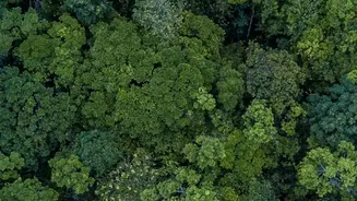
One of NISAR's most critical jobs is monitoring the health of our forests. Traditional satellites can be blocked by a dense canopy of leaves. NISAR is unique because it uses two different radar frequencies, L-band and S-band. The longer L-band waves can penetrate through the upper canopy, bouncing off tree trunks and the forest floor. This gives scientists a three-dimensional view of the forest structure. By analysing this data, they can estimate forest density, track deforestation and degradation, and even measure the amount of biomass, which is key to understanding the carbon cycle. This provides an unprecedented tool for managing vital ecosystems and combating illegal logging, with applications for regions across India.
Measuring the Earth's Subtle Shifts
Just as it sees through trees, NISAR can also provide insights into what’s happening deep underground by measuring tiny movements on the surface. When large amounts of groundwater are extracted from underground aquifers, the land above can sink slightly, a phenomenon called subsidence. NISAR can detect these subtle changes in the ground level with incredible precision, down to less than a centimetre. By mapping this subsidence over large areas, authorities can identify regions where groundwater is being depleted at an unsustainable rate. This is a game-changer for water management, especially in a country like India where groundwater is a lifeline for agriculture and drinking water for millions.
A Vital Tool for India's Future
The data from NISAR is not just for scientists; it has profound real-world applications for India. ISRO has specifically identified areas like agricultural monitoring, landslide studies, and tracking Himalayan glaciers as key objectives. By providing precise soil moisture data, NISAR can help improve crop management and food security. Its ability to monitor ground deformation provides critical information for urban planning and infrastructure safety, especially in areas prone to subsidence. Furthermore, its all-weather capability makes it an invaluable asset for disaster response, allowing for rapid mapping of floods and landslides even when the view from other satellites is obscured. This makes NISAR a powerful instrument for building a more resilient and sustainable future.