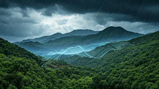


What is the Monsoon Chasers Tracker?
The 'Monsoon Chasers Live Tracker' isn't a single app or a government portal. It’s a collective name for a network of community-driven initiatives, primarily on social media platforms like Facebook, WhatsApp, and Instagram. Run by passionate weather enthusiasts,
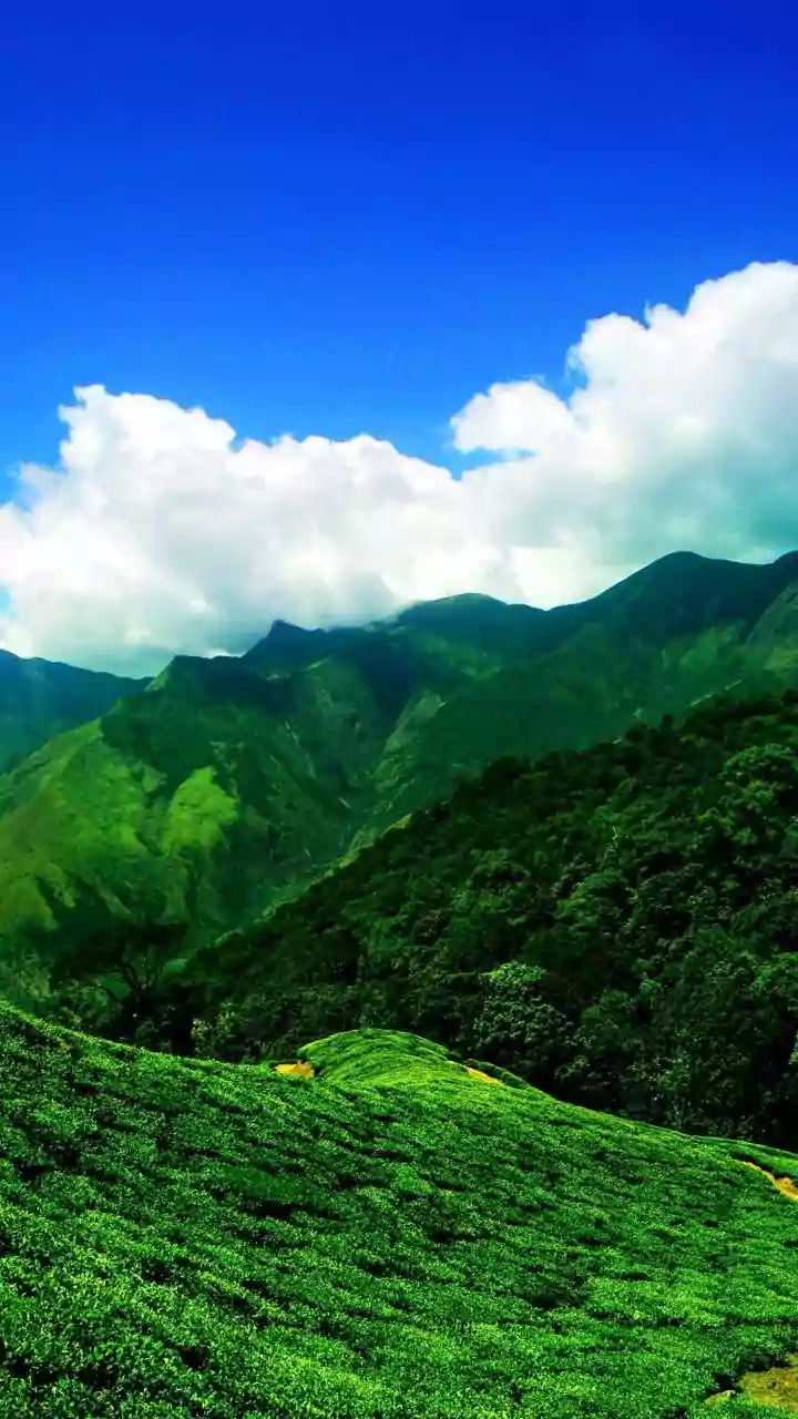
photographers, and local residents, these groups provide real-time, crowdsourced updates on conditions across the Western Ghats, especially in popular monsoon destinations throughout Maharashtra, Goa, and parts of Karnataka. Think of it as a digital word-of-mouth network, giving you on-the-ground intelligence from people who are actually there.
How It Works and Why It’s Essential
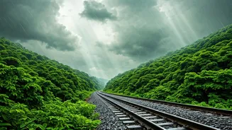
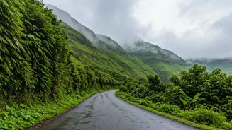
The principle is simple: members share what they see. Someone stuck in a traffic jam due to a landslide near Lonavala posts a photo and a location pin. A local from Mulshi shares a video of the dam's water levels. A traveller reports that the road to a specific waterfall viewpoint is clear. This information is then collated by group admins or displayed on a shared map. During the monsoon, when conditions can change in minutes, this real-time data is invaluable. Official weather reports give you a broad forecast, but these trackers tell you if a specific gully is waterlogged or if a particular stretch of the Mumbai-Pune Expressway is experiencing heavy fog right now.
Key Information to Look For
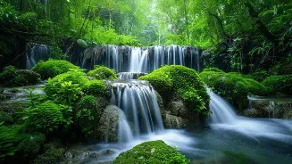
When you join one of these groups or follow a tracker, you’re looking for specific, actionable information. The most critical updates include road closures due to landslides ('ghat band'), severe waterlogging alerts in low-lying areas, and traffic snarls on major highways. Beyond safety, these trackers are also a great resource for trip planning. Members post updates on the 'best' current conditions—which waterfalls are flowing spectacularly, which viewpoints are open and not dangerously overcrowded, and which new, lesser-known spots are worth a visit. It helps you avoid disappointment and crowds, pointing you towards a more enjoyable experience.
A Note on Crowdsourced Accuracy
While incredibly useful, it's crucial to remember the nature of these trackers. They are crowdsourced, meaning the information is as reliable as the community providing it. Most groups are well-moderated, but it’s wise to look for corroboration. If one person reports a road closure, see if others are confirming it. Cross-reference major alerts with official news channels or the highway police's Twitter handle. Never rely on a single, unverified post for a critical decision. Use the tracker as a powerful advisory tool, not as an infallible gospel.
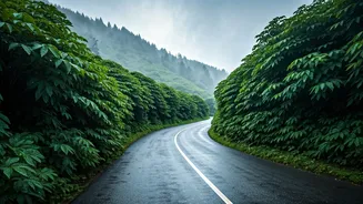
Planning Your Drive: Pune to Tamhini Ghat
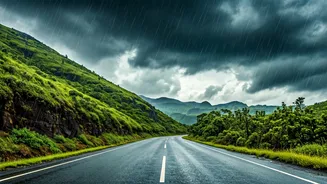
Let’s take a classic route. Before leaving Pune for Tamhini Ghat, you'd check the tracker. You’re looking for posts about the road condition past Mulshi Dam. Is it smooth, or are there reports of rockfalls? Are members posting photos of long weekend traffic queues? The tracker might reveal that the main viewpoint is dangerously crowded, but a fellow 'chaser' might have shared a tip about a serene, less-known spot just a few kilometres further. This allows you to adjust your plan, perhaps starting earlier or taking a slightly different route to maximise enjoyment and minimise hassle.
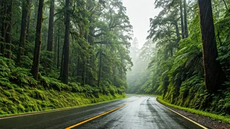
Navigating the Mumbai-Igatpuri Corridor
For Mumbaikars heading towards Igatpuri or Bhandardara, the tracker is a lifesaver. The highway can be notorious for fog and heavy vehicle traffic in the rains. Members will post updates on visibility in the Kasara Ghat section, which can help you decide whether to proceed or wait it out at a dhaba. You'll also find real-time information on the water levels at key attractions like the Bhavali Dam or the Vaitarna waterfalls. Instead of driving three hours only to find a spot closed or unsafe, a quick scroll through the tracker before you leave can help you set realistic expectations and have a much safer trip.