




A Partnership in Orbit
The NASA-ISRO Synthetic Aperture Radar, or NISAR, represents a monumental collaboration in space. Launched in July 2025 from the Satish Dhawan Space Centre, the satellite is a testament to the combined expertise of both space agencies. Under the agreement,
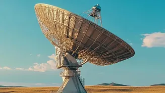
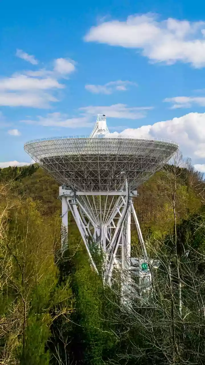
NASA provided the sophisticated L-band radar system and its massive 12-metre reflector antenna, while ISRO contributed the S-band radar, the satellite's main body (the bus), and the powerful GSLV launch vehicle that propelled it into orbit. Now circling the Earth at an altitude of 747 kilometres, this joint observatory has completed its commissioning and entered its science phase, delivering a torrent of freely accessible data to scientists and the public. It stands as the world's most expensive Earth-imaging satellite, a clear indicator of its ambitious goals.
Seeing Through the Unseen
What makes NISAR so powerful is its advanced radar technology. Unlike traditional optical satellites that need clear skies and daylight, NISAR uses Synthetic Aperture Radar (SAR). Think of it as a camera that can see through clouds, smoke, and darkness. This is a game-changer for a country like India, where monsoon clouds can obscure vast landscapes for months. NISAR is the first satellite mission to use two different radar frequencies—L-band and S-band—simultaneously. The longer wavelength L-band can penetrate the dense canopy of forests to measure biomass and soil moisture, while the S-band is more sensitive to changes in lighter vegetation and agricultural crops. Together, they create richly detailed, three-dimensional maps of the Earth's surface, capable of detecting changes as small as a single centimetre every 12 days.
India's Forests in High Definition
For the first time, India has a tool to conduct a continuous, comprehensive health check-up of its forests. NISAR's ability to see through vegetation allows scientists to move beyond just mapping the size of a forest. They can now estimate the amount of wood and biomass, a crucial metric for calculating carbon storage and understanding the forest's role in mitigating climate change. The satellite’s frequent 12-day revisit cycle enables officials to track deforestation and degradation almost in real-time, providing vital information to combat illegal logging and encroachment. Furthermore, by monitoring subtle changes in ground moisture and vegetation health, the mission can help assess fire risk and the long-term impacts of climate stress on different ecosystems, from the Himalayan foothills to the Western Ghats.
More Than Just Trees
While forest monitoring is a primary goal, NISAR's capabilities extend to nearly every aspect of India's dynamic landscape. One of ISRO's key objectives for the mission is to improve agricultural monitoring. Provisional data from 2026 has already been used to study Kharif rice transplantation in Northern India. The satellite's precision is also vital for disaster management. It can detect tiny shifts in the Earth's crust that may precede earthquakes or volcanic eruptions, and it can map the extent of landslides with incredible accuracy, even in remote, cloud-covered mountain regions. In the Himalayas, NISAR will track the movement and melting of glaciers, providing crucial data for managing water resources for billions of people downstream. All this data, from soil moisture to coastal erosion, will empower better resource management and hazard response across the nation.