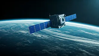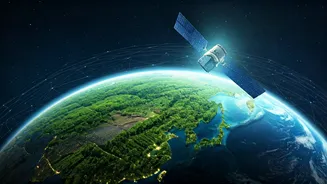


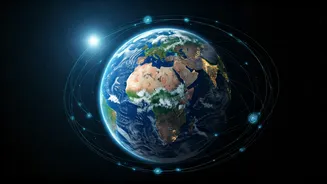


The New Digital Watchtower
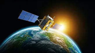
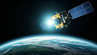
For decades, the image of Earth from space was a symbol of wonder and fragility. Today, that perspective has evolved into a powerful, data-driven tool. A constellation of Earth Observation (EO) satellites, operated by space agencies like ISRO and NASA,
as well as a growing number of private companies, now circle the globe. They are equipped with sophisticated sensors that see far beyond the visible spectrum of light. These satellites capture hyper-detailed information about our planet’s land, oceans, and atmosphere, creating a near real-time digital twin of Earth. This firehose of data—from soil moisture levels to atmospheric gas concentrations—is moving from the exclusive domain of scientists into the hands of farmers, city planners, and businesses, fundamentally changing how we manage our resources.
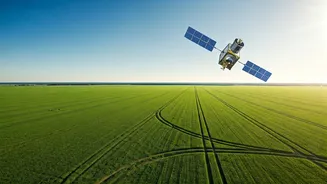
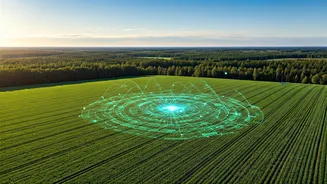
Greener Fields, Smarter Farming
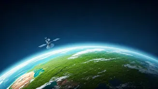
In a country like India, where agriculture is the backbone of the economy, the impact is profound. Traditional farming has always been a battle against uncertainty—unpredictable weather, pest infestations, and water scarcity. Satellite data is turning the tide. By analysing multispectral imagery, farmers can now monitor crop health with incredible precision, identifying stress from disease or lack of water long before it’s visible to the naked eye. This is the heart of ‘precision agriculture’. Instead of watering or fertilising an entire field uniformly, resources can be directed exactly where they are needed, saving water, reducing chemical runoff, and boosting yields. Government bodies also use this data to forecast crop outputs, manage food security, and even assess drought conditions for more effective disaster response.
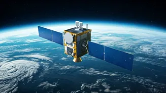
Tracking Our Carbon Footprint
One of the biggest challenges in tackling climate change has been accountability. It’s hard to manage what you can’t measure. For years, greenhouse gas emissions were estimated using ground-based calculations, which could be inconsistent and incomplete. Now, specialised satellites are being deployed with the specific mission of sniffing out these gases from orbit. Satellites from companies like GHGSat can pinpoint the exact source of methane leaks—a potent greenhouse gas—from individual oil and gas facilities, landfills, or even agricultural operations. This transparency is a game-changer. It allows regulators to enforce environmental laws more effectively and gives companies the data they need to plug leaks and reduce their climate impact. We are entering an era where polluters have nowhere to hide.
Designing the Cities of Tomorrow
As India’s urban population continues to swell, managing cities sustainably is a top priority. Satellite data provides urban planners with a bird's-eye view of a city's metabolism. By tracking changes over time, they can monitor urban sprawl, identify the loss of green spaces, and map ‘urban heat islands’—areas that are significantly hotter than their surroundings due to a concentration of concrete and asphalt. With this information, city authorities can make smarter decisions about where to plant trees, create parks, or implement cooling infrastructure. Satellite imagery can also be used to monitor air and water quality, track illegal construction, and plan more efficient public transport routes, laying the groundwork for healthier, more resilient urban environments.