






The Unpredictable Giant
The Indian monsoon is more than just rain; it is a complex, continent-sized atmospheric phenomenon that governs the lives and livelihoods of over a billion people. For generations, predicting its arrival, intensity, and distribution has been a high-stakes
challenge. A weak monsoon can lead to drought and agricultural distress, while an excessively strong one can cause catastrophic floods. Historically, forecasters relied on ground-based observations, which, while useful, offered an incomplete picture of a system that brews over the vast, data-sparse Indian Ocean.
ISRO's Eyes in the Sky
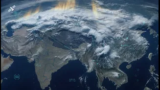
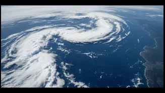
This is where the Indian Space Research Organisation (ISRO) has fundamentally changed the game. A new era of weather monitoring began with the launch of dedicated meteorological satellites. Today, the workhorses are the INSAT series, particularly INSAT-3D, INSAT-3DR, and the recently launched INSAT-3DS. Positioned in geostationary orbit, they hover over the same spot, providing a constant, unblinking view of the Indian subcontinent and the surrounding oceans. This continuous monitoring allows the India Meteorological Department (IMD) to track weather systems in near real-time, receiving fresh images and data every 15 minutes.
From Data to Decision
These satellites are equipped with sophisticated instruments called Imagers and Sounders. The Imager captures pictures of the Earth in multiple wavelengths, allowing meteorologists to track cloud development, movement, and type. The Sounder is even more remarkable; it takes vertical profiles of the atmosphere, measuring temperature and humidity at different altitudes. This three-dimensional view is crucial for understanding atmospheric stability and predicting where heavy rainfall or thunderstorms might develop. The satellites also measure sea surface temperature and wind patterns over the ocean, key ingredients in the recipe for a monsoon or a cyclone.
A Revolution in Forecasting
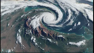
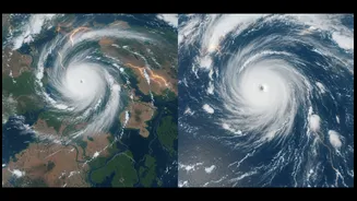
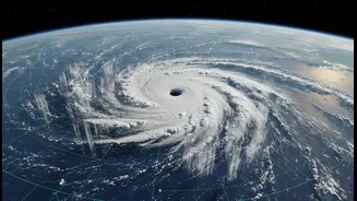
The torrent of data from these satellites—up to 90% of the data fed into modern weather models—has revolutionised forecasting accuracy. This collaboration between ISRO's space assets and the IMD's processing power has improved short to medium-range forecasting by an estimated 20% to 30%. Instead of just knowing a storm is coming, forecasters can now provide more precise warnings about its likely path, intensity, and timing. This has been most evident in cyclone prediction, where timely and accurate warnings, backed by clear satellite imagery, have saved countless lives by enabling mass evacuations.
Beyond the Daily Bulletin
The impact extends far beyond daily weather reports. These detailed satellite inputs are vital for disaster management authorities planning for floods and other extreme events. Farmers get more reliable information for planning their sowing and harvesting schedules. Water resource managers can make better decisions about dam operations. The technology helps in nowcasting—predicting weather in the very immediate future—which is critical for issuing timely alerts for events like cloudbursts and lightning. ISRO's space-based observations provide the synoptic view needed to manage resources and protect citizens in a nation so profoundly shaped by its weather.