






A New Eye in Geostationary Orbit
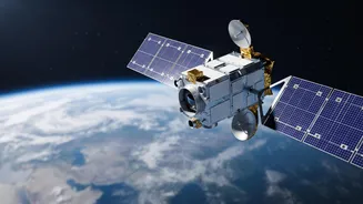
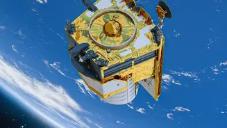
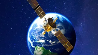
The EOS-05, also known as GISAT-1A, is an advanced Earth observation satellite developed by the Indian Space Research Organisation (ISRO). Unlike most Earth-watching satellites that circle the planet in low orbits and pass over a specific location only
periodically, EOS-05 is designed for a geostationary orbit. This means it will be positioned approximately 36,000 kilometres above the equator, orbiting at the same speed as the Earth's rotation. This unique position allows it to remain almost stationary over the Indian subcontinent, providing continuous and real-time imagery of a large area. The mission is a successor to the GISAT-1 (EOS-03) satellite, which was lost during a launch failure in 2021, making this upcoming launch particularly significant for ISRO.
What is Earth Observation?
At its core, Earth observation (EO) is the science of gathering information about our planet's physical, chemical, and biological systems from a distance, primarily using satellites. These satellites are equipped with powerful sensors and cameras that can capture data far beyond what the human eye can see. They monitor everything from weather patterns and cloud systems to urban expansion, deforestation, and the health of agricultural crops. By collecting data consistently over large areas, EO satellites provide crucial insights for environmental monitoring, resource management, and climate research. Think of it as taking the Earth's pulse from space, allowing scientists and policymakers to make informed, data-driven decisions.
A Boost for National Security
One of the most critical applications of a geostationary imaging satellite like EOS-05 is in the realm of national security. The ability to continuously monitor the Indian subcontinent and its surrounding regions provides a significant strategic advantage. High-resolution imagery, delivered in near real-time, can be invaluable for border surveillance, tracking movements in sensitive areas, and maritime domain awareness. Some reports indicate that EOS-05 (also referred to as GISAT-2 in some contexts) will be acquired by the Indian Navy, highlighting its strategic importance. The satellite's capability to revisit a specific area of interest at very short intervals—potentially as fast as every five minutes—could be a game-changer for monitoring fast-developing situations.
Transforming Disaster Management
For a country prone to natural disasters like cyclones, floods, and forest fires, the capabilities of EOS-05 are vital. Traditional satellites might only pass over an affected area once or twice a day, but a geostationary satellite can provide a constant stream of images. This allows for near real-time tracking of a cyclone's path, monitoring the spread of floodwaters, or identifying wildfire hotspots as they emerge. This rapid and continuous observation enables disaster management agencies to deploy resources more effectively, issue timely warnings to vulnerable populations, and conduct more efficient search-and-rescue operations, ultimately saving lives and property.
Empowering Agriculture and Climate Science
Beyond security and disasters, the data from EOS-05 will have far-reaching benefits for India's economy and environment. The satellite's multispectral and hyperspectral imaging capabilities will support a wide range of civilian applications. In agriculture, this data can be used to monitor crop health, estimate yields, and manage water resources more efficiently. For climate science, it will help track changes in glaciers, forests, and water bodies, providing critical information for understanding and mitigating the impacts of climate change. Essentially, the mission will provide a comprehensive and regularly updated picture of India's natural resources.