


The Mounting Threat on the Coastline
The challenges facing Kerala's coast are no longer distant predictions; they are a present-day reality. According to the National Centre for Coastal Research (NCCR), about 46% of the state's shoreline is experiencing erosion. This is not a uniform process;
some districts like Kozhikode and Alappuzha face erosion rates exceeding 50%. This loss of land threatens homes, livelihoods, and critical infrastructure. The situation is compounded by projections of continued sea-level rise and increasing frequency of extreme weather events, which are expected to make storm surges more intense and lead to greater saltwater intrusion into freshwater sources. This dual threat of a rising sea and a shrinking coastline creates a precarious situation for the millions who call coastal Kerala home.
Nature’s Overlooked Defences
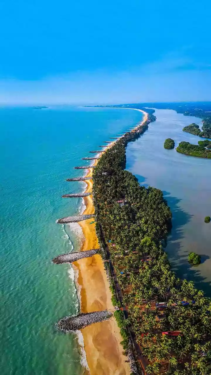
For decades, the primary response to coastal erosion has been the construction of hard structures like seawalls and groynes. Today, nearly half of Kerala's coast is armoured in this way. However, these solutions are expensive, require constant maintenance, and can sometimes worsen erosion in adjacent areas. Meanwhile, nature's own defences have often been overlooked or degraded. Mangrove forests, with their dense, tangled root systems, act as powerful natural barriers. They stabilise shorelines, trap sediment to build up the land, and significantly reduce the energy of storm waves, acting as a 'bio-shield' for the communities behind them. Similarly, coastal wetlands and estuaries serve as natural sponges, absorbing floodwaters. Yet, a significant portion of Kerala's original mangrove cover has been lost to urbanisation and other land-use changes.
What 'Scientific Assessment' Truly Involves
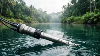
Pivoting to a more sustainable strategy requires a clear understanding of the assets we have. This is where scientific assessment becomes crucial. It is not an abstract academic exercise but a practical necessity. It involves systematically mapping the location, extent, and health of remaining natural habitats like mangroves and wetlands. Researchers use tools to quantify the specific protective services these ecosystems provide, such as how much wave energy a particular stretch of mangrove forest can absorb. In October 2026, the Kerala State Biodiversity Board launched India's first state-level Red List Assessment of Ecosystems to scientifically evaluate the risk of collapse for all its natural habitats, including coastal ones. This provides an evidence-based baseline, allowing planners to identify which ecosystems are most vulnerable and which hold the most potential for protection.
Ecosystem-Based Disaster Risk Reduction
The data gathered from these assessments directly informs a more integrated approach known as Ecosystem-based Disaster Risk Reduction (Eco-DRR). This strategy systematically harnesses the protective functions of healthy ecosystems to buffer communities against hazards. Instead of relying solely on concrete walls, Eco-DRR focuses on 'nature-based solutions'—such as restoring mangrove belts, protecting coastal wetlands, and stabilising dunes with native vegetation. These 'green infrastructure' projects offer numerous co-benefits that seawalls cannot; they support local fisheries, improve water quality, sequester carbon, and provide livelihood opportunities through initiatives like the Mahatma Gandhi National Rural Employment Guarantee Scheme (MGNREGS). They represent a move towards working with nature, rather than against it, to build resilience.