





A New Kind of 'Eye in the Sky'
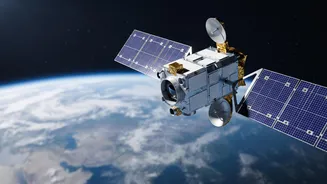
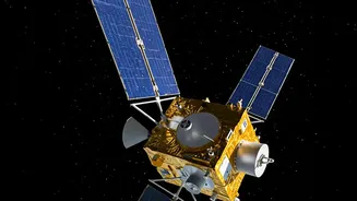
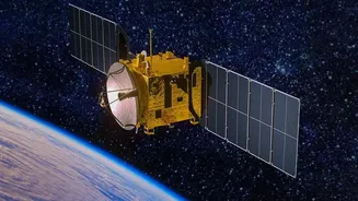
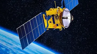
The technology at the heart of this new capability is the EOS-05 satellite, also known as GISAT-1A. Unlike most Earth observation satellites that circle the globe in Low Earth Orbit (LEO) and can only photograph a specific location when they pass over
it, EOS-05 operates from a geostationary orbit. Positioned approximately 36,000 kilometres above the equator, its orbital speed matches the Earth's rotation. This allows it to remain fixed over the Indian subcontinent, providing a constant, uninterrupted view. This leap from periodic snapshots to persistent monitoring is a fundamental shift in India's observation capabilities, joining an elite group of nations with such technology.
A Game-Changer for National Defence
For defence and strategic agencies, continuous coverage is a monumental advantage. While satellites in lower orbits provide high-resolution images, they may take days to revisit a specific area of interest. EOS-05 eliminates this waiting period. The satellite is designed for both civilian and military applications, offering the ability to keep a 24/7 vigil over India's borders and surrounding regions. This persistent surveillance is crucial for monitoring troop movements, tracking strategic assets, and observing conflict zones without the time lag inherent in older satellite systems. While the identity of the primary strategic user has not been disclosed, the dual-use nature of the satellite significantly bolsters India's national security infrastructure.
Transforming Weather Forecasting and Disaster Management
Beyond defence, the most immediate public benefit lies in meteorology and disaster response. The satellite’s ability to provide near real-time imagery of the entire Indian landmass roughly every 30 minutes, and of priority areas as frequently as every five minutes, is revolutionary for tracking rapidly developing weather events. Agencies like the India Meteorological Department (IMD) can use this high-frequency data to monitor the formation and progression of cyclones, track severe monsoon events, and detect forest fires with unprecedented speed. This continuous stream of information allows for more accurate and timely warnings, giving authorities crucial extra time to prepare and execute evacuation plans, ultimately saving lives and property.
The Technology Behind the Vision
The 2,367-kilogram EOS-05 is a state-of-the-art spacecraft equipped with multi-spectral and hyperspectral imagers. These instruments capture images in different wavelengths of light, including visible, near-infrared, and thermal infrared. This allows the satellite to not only see clouds and landmasses but also to measure sea surface temperatures and assess vegetation health, among other things. The mission, launched aboard the GSLV-F17 rocket, is also a testament to ISRO's resilience. It serves as a replacement for the nearly identical EOS-03 (GISAT-1) satellite, which was lost during a launch failure in August 2021.
A Milestone in Self-Reliance
The successful operation of EOS-05 marks a significant achievement in India's goal of 'Aatmanirbhar Bharat' or self-reliant India, particularly in critical space infrastructure. By developing and deploying its own geostationary imaging satellite, India reduces its dependence on foreign assets and strengthens its strategic autonomy. This capability is not just about a single satellite; it represents a new generation of Indian Earth observation technology. It complements ISRO's existing fleet of satellites, including the INSAT series for meteorology and the Cartosat series for high-resolution mapping, by adding a persistent, wide-area monitoring dimension. This integrated system provides a comprehensive, multi-layered view of the subcontinent for a variety of applications, from security to scientific research.