





The Problem with Today's Warnings
In a country where the monsoon is a lifeline but also a source of immense disruption, timely and accurate weather alerts are critical. However, the current system often leaves much to be desired. Warnings can be broad, covering entire districts with a single
brushstroke of 'heavy rain expected.' This lack of specificity often leads to 'warning fatigue,' where people become desensitised and may ignore potentially life-saving advice. When an alert doesn't tell you whether the downpour will affect your commute in the morning or your child's school in the afternoon, it loses its power. The challenge has been getting a clear, real-time picture of fast-developing weather systems. Ground-based radar is essential but has limitations; for instance, it struggles to see the very initial stages of raindrop formation. This is the gap that new space-based technology is beginning to fill.
A New Eye in the Sky: INSAT-3DS
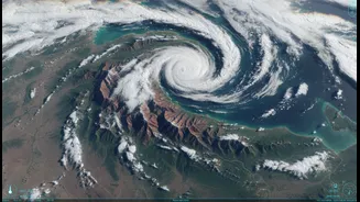
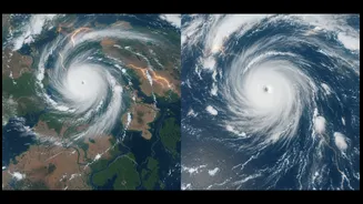
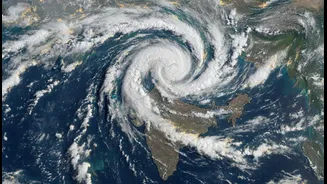
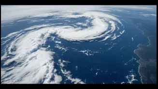
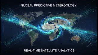
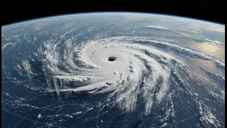
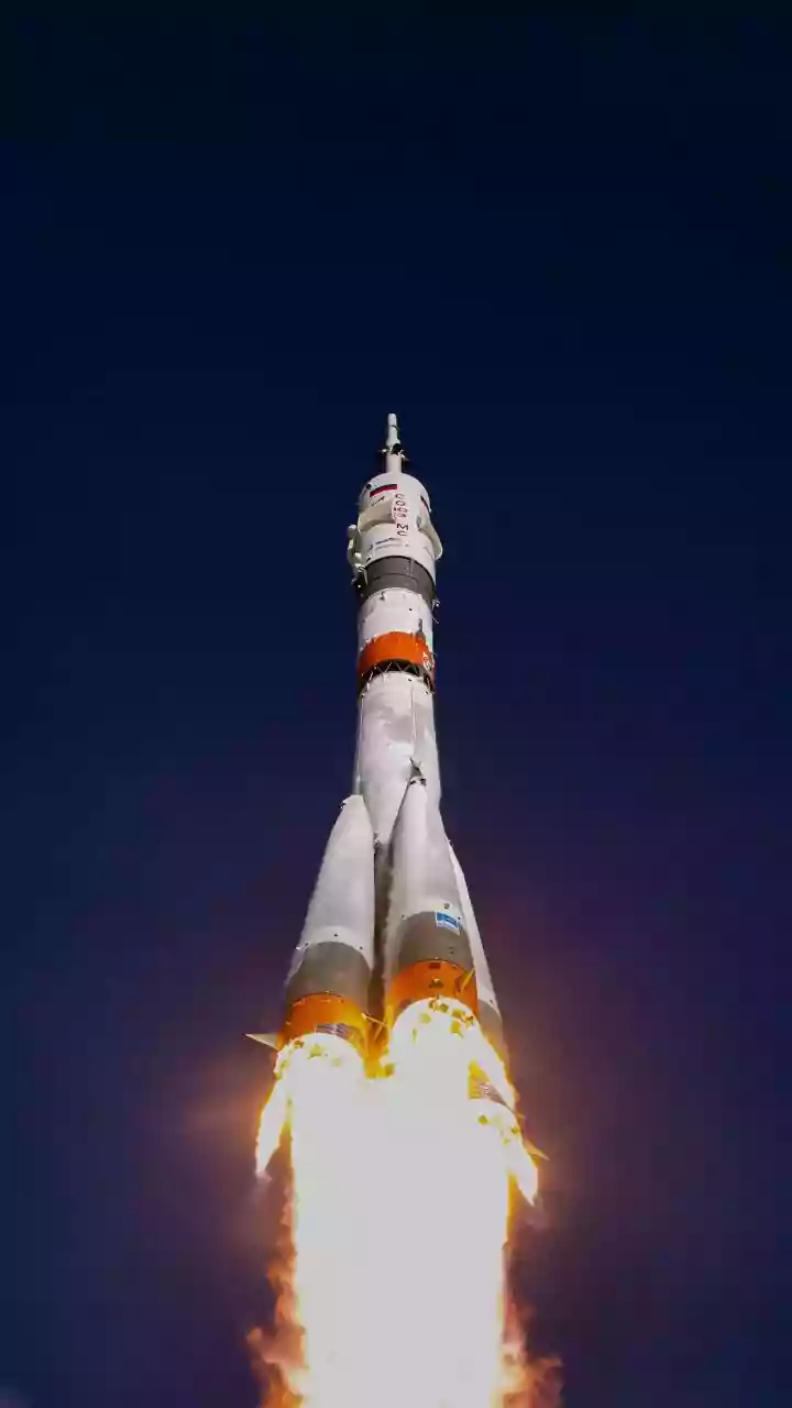
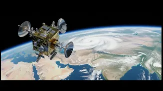
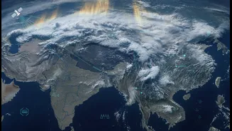
Enter India's new generation of meteorological satellites, like the recently launched INSAT-3DS. Think of it as a significant upgrade to our eye in the sky. Developed by ISRO, this satellite is specifically designed for enhanced weather observation. It provides images of the Earth's surface and atmosphere with higher resolution and, crucially, at more frequent intervals. Previous generations of satellites provided updates every three hours, but newer systems can deliver fresh images every fifteen minutes. This allows meteorologists at the India Meteorological Department (IMD) to do more than just see large cloud formations; they can now monitor the rapid development of smaller, more intense convective systems that often lead to sudden, heavy downpours and flash floods. The advanced imagers and sounders on board INSAT-3DS capture data across multiple channels, providing detailed information on cloud thickness, temperature, and moisture content.
From Complex Data to Clear Alerts
Better images are only half the battle. The real magic happens when this high-quality satellite data is fed into advanced weather prediction models. By combining near real-time satellite imagery with ground-based radar data and artificial intelligence, forecasters can create a much more detailed and dynamic picture of unfolding weather. This 'data fusion' allows models to more accurately predict the path, intensity, and timing of rainfall. Instead of a generic warning, the system can generate a more user-friendly and actionable alert. Imagine your weather app, instead of saying '70% chance of rain today,' notifying you: 'High probability of intense rainfall in your locality between 4 PM and 5 PM, with potential for waterlogging.' This level of detail, known as 'nowcasting', is the ultimate goal.
What This Means for You
The practical benefits of this technological leap are enormous. For urban commuters, it means making an informed decision to leave work early to avoid being stranded by flooded roads. For farmers, it provides a more precise window to protect crops or delay planting. For municipal authorities and disaster management teams, it offers precious lead time to deploy resources, clear drains, and issue targeted evacuation warnings for low-lying areas. High-resolution imagery allows for precise flood mapping, identifying which specific neighbourhoods and infrastructure are at immediate risk. This moves us from a reactive to a proactive approach to managing heavy rainfall, which is becoming more frequent and intense due to climate change. Ultimately, it translates to saved lives, protected property, and a more resilient society.