



The Carbon Superpower Below the Canopy
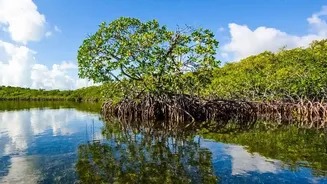
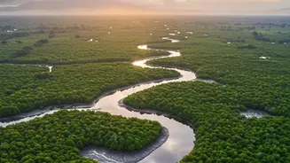
The Sundarbans isn't just a forest; it's a vital carbon sink, a natural solution in the fight against climate change. Mangrove ecosystems are extraordinarily efficient at capturing atmospheric carbon dioxide, a process called carbon sequestration. They
are considered "blue carbon" ecosystems, storing up to four times more carbon per hectare than most terrestrial forests. This incredible ability comes from their complex root systems and the dense, organic-rich soil they inhabit. The carbon is locked away not only in the trees' branches and leaves (aboveground biomass) but more significantly in the soil and underwater root networks (belowground biomass). For India, accurately quantifying this natural asset is crucial for meeting climate goals and understanding the immense value of preserving this unique World Heritage Site.
The Challenge of the Swamp
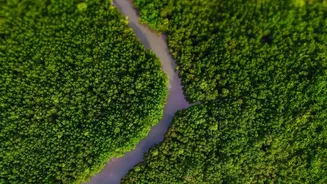
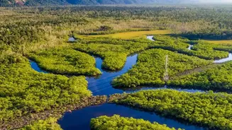
So, if we know the Sundarbans stores a massive amount of carbon, why is measuring it so difficult? Traditional methods involve on-the-ground fieldwork: trekking into the forest, measuring tree diameters, and taking soil core samples. In the Sundarbans, this is a monumental, if not impossible, task. The landscape is a labyrinth of tidal rivers, dense undergrowth, and mudflats. It is largely inaccessible, dangerous, and constantly changing with the tides. Relying solely on field measurements would yield an incomplete and inaccurate picture, covering only tiny, accessible plots while the vast majority of the 10,000-square-kilometre forest remains unmeasured. This leaves scientists and policymakers with a critical knowledge gap.
An Eye in the Sky Provides a Solution
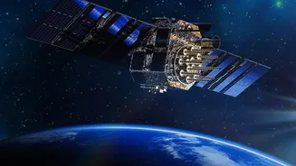
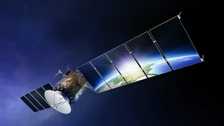
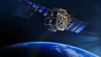
This is where satellite technology, or remote sensing, becomes indispensable. Satellites equipped with various sensors orbit the Earth, providing a comprehensive and repeatable view of the entire Sundarbans region. Unlike a field scientist who can only be in one place at a time, satellites can scan vast areas consistently. They use different types of technology to overcome challenges like cloud cover, which is common in coastal areas. Optical sensors, like those on the Sentinel-2 satellites, work like powerful cameras, while radar sensors, like Sentinel-1, can penetrate clouds and even provide information about forest structure. This constant stream of data is the raw material for understanding the forest's health and its carbon-capturing prowess on a grand scale.
How Satellites See Carbon
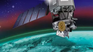
Satellites don't measure carbon directly. Instead, they measure proxies—physical characteristics that scientists can correlate with carbon content. By analyzing the light and radar signals that bounce back from the forest, researchers can estimate key variables like canopy height, forest density, and leaf area index (a measure of how leafy the trees are). For instance, NASA's GEDI mission uses LiDAR, a laser-based technology, to create detailed 3D maps of forest structure. Scientists then combine this satellite data with limited, strategic field measurements. They develop complex algorithms and machine learning models to translate the satellite's view of tree height and density into reliable estimates of aboveground biomass and, consequently, the amount of carbon stored.
From Data to Conservation Action
The crucial advantage of satellite monitoring is its ability to track change over time. By comparing images from different months and years, scientists can identify deforestation, mangrove degradation, or areas of healthy growth. This information is invaluable for conservation efforts, allowing authorities to pinpoint problem areas and measure the success of restoration projects. Furthermore, having reliable, verifiable data on carbon sequestration rates is essential for India to participate in international carbon markets and climate finance initiatives like REDD+ (Reducing Emissions from Deforestation and Forest Degradation). This technology turns an invisible process—carbon sequestration—into a measurable, manageable, and ultimately, a more protectable asset for the nation and the world.