


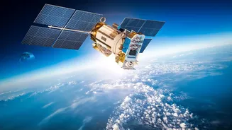
A New Eye in the Sky
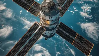
NISAR, which stands for NASA-ISRO Synthetic Aperture Radar, is a landmark earth observation mission jointly developed by the American and Indian space agencies. Launched in July 2025, it marks the first time the two organisations have collaborated on hardware
for such a mission. After months of calibration, the satellite entered its science phase and began releasing a stream of data to the public. Its primary goal is to make global measurements of the causes and consequences of land surface changes, from the shifting of tectonic plates to the melting of ice sheets. For India, some of the most critical applications involve monitoring the country's extensive coastal processes, agricultural lands, and Himalayan glaciers.
The Power of Radar Vision
Unlike traditional satellites that use optical cameras, NISAR employs a sophisticated radar system. This technology is a game-changer because radar can 'see' through clouds, smoke, and darkness, allowing it to monitor the Earth’s surface day and night, in any weather. This is especially crucial for coastal and monsoon-affected regions that are often obscured by cloud cover. NISAR is the first satellite mission to use two different radar frequencies—the L-band (from NASA) and the S-band (from ISRO). This dual-frequency capability allows it to observe a wide range of phenomena with incredible precision. The L-band can penetrate thicker vegetation to see the ground beneath, while the S-band is excellent for monitoring things like soil moisture and lighter vegetation. Together, they can detect changes in the planet's surface as small as a centimetre.
A Deluge of Daily Data
Perhaps the most revolutionary aspect of the NISAR mission is the sheer volume and frequency of its data. The satellite orbits the Earth every 12 days, systematically mapping nearly all of its land and ice surfaces twice during that cycle. As of July 2026, fully calibrated provisional L-band data products are being released globally, while ISRO has been releasing daily processed S-band data products over India and other locations through its Bhoonidhi portal. This constant stream of high-resolution imagery—available to the public for free—is a significant leap from previous missions that provided less frequent snapshots. For scientists and disaster management agencies, this is like switching from getting a monthly newspaper to having a live news feed, enabling near real-time monitoring of environmental changes.
Decoding Our Changing Coastlines
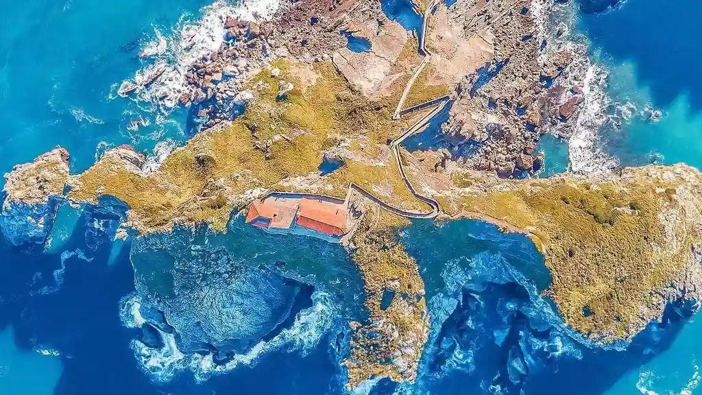
For a nation with over 7,500 kilometres of coastline, this new capability is vital. NISAR's data provides detailed insights that go far beyond simply tracking sea-level rise. It can identify specific stretches of coast prone to erosion, monitor the health and extent of natural buffers like mangrove forests, and track changes in coastal morphology with remarkable detail. The technology, known as interferometry, compares images taken on different days to measure subtle ground movement, which can reveal land subsidence—the sinking of coastal land—in major urban centres. This is a critical threat multiplier for flood risk. The satellite's data can also be used for flood extent mapping after storm surges, assessing infrastructure damage, and monitoring the recovery of coastal ecosystems.
Why This Matters for India
The information flowing from NISAR is not just for academic study; it's a practical tool for securing India's future. With densely populated cities, critical infrastructure, and vast agricultural lands located along its coasts, understanding these dynamic environments is essential for effective planning and risk reduction. ISRO has specifically identified coastal studies, including the monitoring of shorelines and erosion, as a key application for the mission's S-band radar. By providing consistent and reliable data, NISAR can help authorities make more informed decisions on everything from where to build new infrastructure to how to manage coastal resources sustainably. It offers a chance to move from a reactive to a proactive approach in adapting to the challenges of a changing climate.