







The Unseen Guardians in the Sky
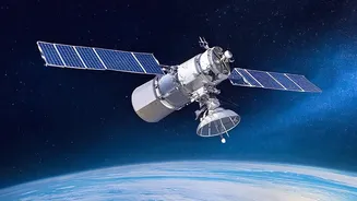
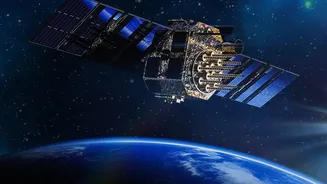
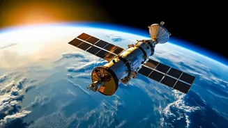
The OceanSat series is a family of Indian Earth observation satellites designed specifically to study the oceans. Beginning with the launch of OceanSat-1 in 1999, this programme by the Indian Space Research Organisation (ISRO) has been providing invaluable
data on our seas. The latest in this series, OceanSat-3 (also named EOS-06), launched in November 2022, represents the pinnacle of this effort. These satellites are not just scientific instruments; they are crucial national assets. They circle the Earth in a sun-synchronous orbit, meaning they pass over the same spot at the same local solar time each day, allowing for consistent monitoring of oceanographic and atmospheric conditions. Their primary mission is to observe the oceans in ways impossible from the ground, looking at everything from sea surface temperatures to the colour of the water, providing a comprehensive health report of the marine ecosystem.
From Space to Sea: A Fisherman's Best Friend
For India's fishing community, the OceanSat programme is nothing short of a revolution. The satellites help generate Potential Fishing Zone (PFZ) advisories, which are essentially maps highlighting areas in the ocean with a high probability of fish aggregation. This service, which ISRO developed and transferred to the Indian National Centre for Ocean Information Services (INCOIS), has been operational since 2002. The advisories are created by analysing data on two key parameters: sea surface temperature and the concentration of chlorophyll, which indicates the presence of phytoplankton, the primary food for many fish species. Instead of searching blindly, fishermen can now head to these pre-identified zones, saving enormous amounts of time and costly diesel fuel. Studies have shown significant economic benefits, with one report noting a village saving 70,000 litres of diesel in a month by using PFZ advisories. This makes fishing more profitable, sustainable, and less arduous for the millions who depend on it for their livelihood.
A Watchful Eye on Weather Fronts
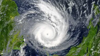
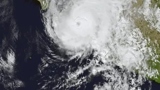
Beyond fishing, the OceanSat series plays a vital role in meteorology, particularly in monitoring and tracking weather systems like cyclones. The satellites are equipped with instruments called scatterometers, which are crucial for this task. A scatterometer is an active microwave radar that measures the roughness of the sea surface. This data can be translated into accurate measurements of wind speed and direction over the ocean. This information is a critical input for weather prediction models and is indispensable for tracking the formation, intensification, and movement of cyclones. By providing early and accurate warnings, these satellites give authorities precious time to prepare, evacuate coastal populations, and mitigate potential damage. The data from OceanSat-3, for instance, offers a unique combination of optical and microwave sensing, providing a comprehensive view of cyclones like never before.
The Science Behind the Service
The magic of the OceanSat series lies in its advanced instruments. The Ocean Colour Monitor (OCM) is one of the key payloads. It's a highly sensitive camera that measures the colour of the ocean, which changes based on what's in the water. High concentrations of chlorophyll, an indicator of phytoplankton blooms, are detected by the OCM, which is the basis for the PFZ advisories. The other critical instrument is the Scatterometer. By sending out radar pulses and measuring the signal that bounces back from the ocean surface, it can determine wind patterns, which is vital for weather forecasting and understanding ocean currents. The latest satellite, OceanSat-3, also carries a Sea Surface Temperature Monitor (SSTM), further enhancing its ability to track oceanographic features that influence both marine life and weather patterns.
The Evolution and Future of OceanSats
The OceanSat programme has evolved significantly over more than two decades. From the initial capabilities of OceanSat-1, each subsequent satellite has brought enhanced features. OceanSat-2, launched in 2009, provided continuity and improved data for users. After its scatterometer became non-operational, ISRO launched SCATSAT-1 as a stop-gap measure to ensure wind data was not lost. The current mainstay, OceanSat-3 (EOS-06), represents a major leap forward, integrating multiple advanced sensors for a more holistic view of the oceans. It provides service continuity for long-term climate studies while delivering improved data for day-to-day applications. ISRO continues to build on this legacy, ensuring that India's eyes in the sky remain sharp, and their data continues to serve the nation's economic and safety interests.