




What is SAR, Anyway?
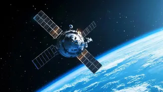
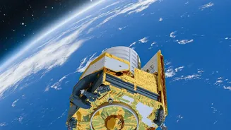
Unlike a regular camera that captures light, SAR is an active system. It works by sending out microwave pulses from a satellite and then reading the 'echoes' that bounce back. Think of it like a bat using echolocation to navigate in the dark. By sending thousands
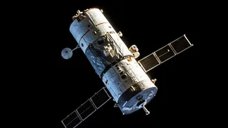
of these pulses while moving at high speed, the satellite can digitally create a 'synthetic' antenna that is kilometres long. This allows it to produce incredibly detailed, high-resolution images of Earth's surface, regardless of weather conditions or time of day. While optical satellites are blinded by clouds or darkness, SAR provides a reliable, all-weather eye in the sky.
India's All-Weather Eye in the Sky
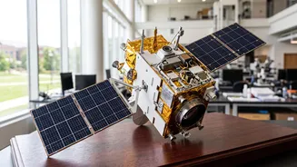
For a country as geographically diverse and monsoon-dependent as India, SAR is not just a novelty; it's a necessity. India's own RISAT (Radar Imaging Satellite) series, developed by ISRO, has been crucial for the nation since its first launch in 2012. These satellites are vital for disaster management, allowing authorities to map the extent of floods in states like Kerala and Assam in real-time, even through thick cloud cover, and prioritise rescue operations. They are also used for national security, providing surveillance along borders and coastlines. In agriculture, a sector that supports a huge portion of India's population, SAR data helps in monitoring crop health, predicting yields, and even assessing damage for crop insurance schemes like the Pradhan Mantri Fasal Bima Yojana.
The NISAR Mission: A Landmark Partnership
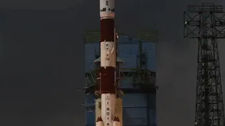
One of the most exciting developments in this field is the NISAR (NASA-ISRO Synthetic Aperture Radar) mission, a landmark collaboration between the US and Indian space agencies. Set to be one of the world's most expensive Earth-imaging satellites, NISAR will carry two different radar frequencies (L-band and S-band) to monitor our planet in unprecedented detail. Orbiting the Earth every 12 days, it will measure changes in the planet's surface as small as a centimetre. This will provide invaluable data for tracking things like melting glaciers, groundwater levels, earthquake-prone zones, and deforestation. The mission is a testament to India's rising stature in global space technology, with ISRO providing the launch vehicle and S-band radar.
Your Future in SAR: Career Pathways for Students
For students passionate about space and technology, SAR opens up a universe of career opportunities. The massive amounts of data generated by satellites like RISAT and NISAR need skilled professionals to process, analyse, and interpret them. This has created a booming demand for geospatial analysts, remote sensing scientists, and data scientists. Opportunities are not just limited to ISRO. Private Indian space-tech startups like Pixxel, SatSure, and SisIR Radar are also innovating in this space, creating roles for engineers, software developers, and subject matter experts. If you have a background in engineering, computer science, geology, agriculture, or environmental science, you can build a career in this field. Developing skills in GIS software, Python programming, and data analysis can give you a significant edge. Roles can range from developing algorithms to analyse satellite imagery to using that data to advise on urban planning, natural resource management, or even disaster risk reduction.