


A New Eye in the Sky
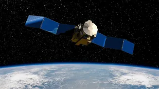
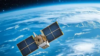
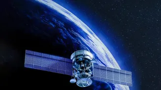
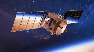
NISAR, short for NASA-ISRO Synthetic Aperture Radar, is a joint satellite mission between the US and Indian space agencies. Launched in July 2025, this SUV-sized satellite is one of the most expensive Earth-imaging satellites ever built, with a price
tag of around $1.5 billion. Its primary purpose is to systematically map our planet, tracking subtle changes in the Earth’s surface with unprecedented detail. What makes NISAR special is its use of dual-frequency radar (L-band and S-band), which allows it to see through clouds and darkness, providing a constant stream of information regardless of weather or time of day. Every 12 days, it scans nearly the entire globe, measuring movements as small as a centimetre.
More Than Just Pictures: What Radar Data Shows
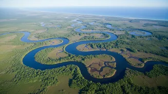
Unlike a typical camera that captures optical images, NISAR's Synthetic Aperture Radar (SAR) sends microwave signals to Earth and interprets the echoes that bounce back. This technique allows it to measure things like the thickness of ice sheets, the amount of water in soil, and the density of forest biomass. For India, this has specific, crucial applications, from monitoring the Himalayan glaciers and the Deccan Plateau to tracking agricultural patterns and coastal changes. The data can reveal the slow subsidence of land due to groundwater extraction, the strain building up along fault lines before an earthquake, and the precise extent of flooding even when hidden by clouds.
The Downloadable Data Revolution
Perhaps the most revolutionary aspect of the NISAR mission is its data policy. In line with NASA’s long-standing approach, all science data from the mission is freely and openly available to the public. The initial public release of calibrated L-band data began in July 2026. This means that researchers, companies, and even citizen scientists from anywhere in the world can download and analyze this treasure trove of information. This accessibility democratizes Earth observation. Instead of being restricted to a few major government agencies, the ability to monitor our planet is now in the hands of a global community, fostering collaboration and innovation on a massive scale.
Training Smarter Climate Models
This is where climate data training comes into play. The sheer volume and consistency of NISAR’s data are perfectly suited for training machine learning (ML) and artificial intelligence (AI) models. Climate models are complex simulations that try to predict future environmental conditions, but their accuracy depends heavily on the quality and quantity of the data they are 'trained' on. With petabytes of high-resolution radar data, scientists can build far more sophisticated AI models to forecast everything from crop yields to landslide risks. These models can learn to spot complex patterns in the data that a human analyst might miss, leading to more accurate predictions and a deeper understanding of Earth's systems.
A Game-Changer for India’s Climate Goals
For India, the NISAR mission is a strategic asset. ISRO, which provided the S-band radar and the launch vehicle, will host and distribute the S-band data through its Bhoonidhi platform. This gives Indian scientists and policymakers direct access to information vital for managing the country’s natural resources and responding to climate change. The data will be critical for monitoring water resources in major river basins, managing agricultural output, tracking deforestation, and preparing for natural disasters like floods and cyclones. By combining this advanced satellite data with its growing AI capabilities, India is poised to develop highly effective, localized solutions for climate adaptation and mitigation.