


Beyond a Simple Forecast
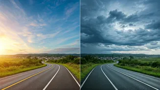
For years, travel planning during the monsoon was a game of chance. We relied on generic weather forecasts that gave us a vague percentage—a “30% chance of rain”—which is about as helpful as a chocolate teapot. Is it a brief drizzle or a city-stopping
deluge? Will it rain in the morning or during your evening drive back? This lack of specific, real-time information often meant either cancelling plans unnecessarily or getting caught in a dangerous situation. The old ways of guessing based on a cloudy sky are no longer sufficient for travellers who want to enjoy the season without taking massive risks.
Enter the Digital Rain-Watcher
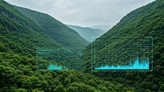
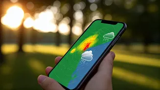
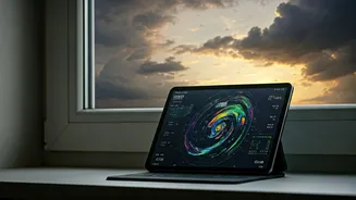
Rainfall maps are changing the game. These are not your standard weather charts; they are dynamic, visual representations of precipitation. Most apps and websites use a combination of two technologies. The first is Doppler radar, which detects rain that is currently falling. It shows you exactly where the rain is, its intensity, and which direction it’s moving. The second is satellite imagery, which shows cloud cover and helps in forecasting where rain might develop. When you see a live rainfall map, you are essentially getting a bird’s-eye view of the weather system in real-time, or a very short-term forecast (often called a 'nowcast').
How to Read the Clouds on Your Screen
At first, these maps can look like a colourful mess, but they are surprisingly easy to read. The key is the colour code. Typically, light blues and greens indicate light rain or drizzle. As the colours shift to yellow, orange, and eventually red or purple, it signifies progressively heavier and more intense rainfall. The magic lies in the animation. By playing the map forward, you can see the trajectory of the rain clouds. Is that big red patch moving towards your destination or away from it? Will the storm pass over your route in 20 minutes, giving you a clear window to drive? This visual data is far more intuitive and actionable than any text-based forecast.
Your Monsoon Travel Co-Pilots
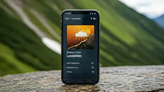
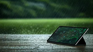
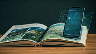
Several reliable platforms offer these features for Indian users. The government's own IMD (India Meteorological Department) provides detailed radar and satellite imagery through its Mausam app and website. Private players like Skymet Weather offer similar, often more user-friendly, interfaces. International giants like AccuWeather and The Weather Channel also provide excellent local coverage. The best approach is to have one or two of these on your phone. Look for features like 'live radar', 'satellite view', and 'precipitation forecast' to get the most out of them.
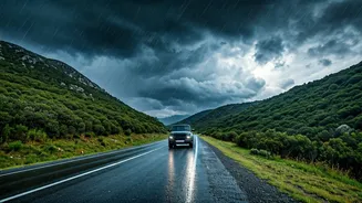
From Road Trips to Hill Treks
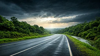
The practical applications are endless. Planning a drive from Mumbai to Lonavala? Check the live map for intense rain patches over the ghats before you start. An hour's delay could mean avoiding a potential landslide zone. Setting off on a trek in the hills of Himachal or Uttarakhand? See if a storm cell is developing nearby. You can decide to wait it out at a safe point instead of being caught on an exposed ridge. Even for city commutes, a quick glance can tell you if you should leave the office now or wait 30 minutes for a downpour to pass, avoiding traffic snarls and waterlogged streets.
A Word of Caution
While incredibly powerful, these tools are not crystal balls. Weather is a chaotic system, and forecasts, especially for thunderstorms, can change quickly. A rainfall map shows you the most likely scenario based on current data, but it is not a guarantee. Use these maps as a guide for making informed decisions, not as an infallible prediction. Always have a backup plan, listen to local authorities, and never take unnecessary risks, especially in landslide-prone or flood-prone areas. The goal is to be smarter and safer, not invincible.