

The Unblinking Eye in the Sky
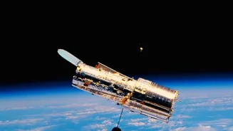
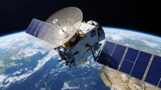
Satellites are our planet's silent guardians, constantly monitoring its surface, oceans, and atmosphere. For disaster management, they are indispensable. Unlike ground-based assessments, which can be slow and dangerous, satellites offer a comprehensive
view of vast, inaccessible areas in near real-time. They use different types of sensors to collect information. Optical sensors capture images much like a camera, showing visible damage to buildings and infrastructure. Meanwhile, Synthetic Aperture Radar (SAR) is a game-changer; its radar signals can penetrate clouds, smoke, and darkness, making it perfect for tracking floods during a storm or assessing damage from an earthquake at night. Thermal sensors can also detect heat anomalies, identifying hotspots in wildfires long before they are visible on the ground.
Before Disaster Strikes: The Power of Prediction
The best way to handle a disaster is to see it coming. Satellites are vital for early warning systems. By monitoring sea surface temperatures and atmospheric pressure, meteorological satellites from agencies like ISRO and NOAA can track the formation and path of cyclones, giving authorities precious time to issue evacuation orders. For droughts, satellites assess soil moisture and vegetation health over large agricultural areas, helping governments plan for potential food and water shortages. They also assist in creating detailed maps of flood-prone and landslide-risk zones by analyzing topography and land use patterns, which are crucial for long-term planning and mitigation efforts.
During the Crisis: Real-Time Situational Awareness
When a disaster is unfolding, chaos reigns on the ground. Terrestrial communication networks often fail, and roads become impassable. This is when satellites provide a lifeline. They deliver a continuous stream of data, allowing emergency responders to see the big picture. For floods, SAR satellites can map the precise extent of inundation, even through heavy rain clouds, showing which villages are cut off and where rescue boats are needed most. In the case of wildfires, satellites track the fire's progression and direction, assisting in planning containment lines and protecting communities in its path. Satellite communication systems also ensure that response teams can coordinate their efforts when local infrastructure is down.
India's Sentinels: ISRO's Crucial Role
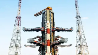
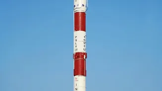
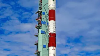
India, with its vulnerability to floods, cyclones, and earthquakes, relies heavily on its own space programme. The Indian Space Research Organisation (ISRO) plays a pivotal role through its Disaster Management Support (DMS) Programme. A constellation of Indian Remote Sensing (IRS) satellites, including the Resourcesat, Cartosat, and RISAT series, provides high-resolution imagery and data for disaster monitoring. ISRO provides this critical information to national and state disaster management agencies, such as the NDMA, to aid in their operations. From tracking Cyclone Fani to providing near real-time flood maps during monsoons in Assam and Kerala, ISRO's satellite inputs have been instrumental in guiding rescue and relief efforts across the country.
The Aftermath: Assessing Damage and Aiding Recovery
Once the immediate danger has passed, the long road to recovery begins. Satellite imagery is fundamental to this phase. By comparing 'before' and 'after' images of an affected area, officials can rapidly assess the scale of destruction to homes, crops, and critical infrastructure like roads and bridges. This damage assessment helps governments and aid organisations prioritise the allocation of resources and plan reconstruction efforts more effectively. High-resolution data can pinpoint specific collapsed buildings after an earthquake or identify areas where landslide risks remain high, ensuring that recovery efforts are safe and sustainable. This orbital view provides the foundational data needed to build back stronger.